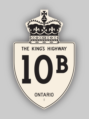
History of King's Highway 10B:
The Orangeville Business Route was created when Orangeville was bypassed by a new highway along the eastern side of town in 1970. Two Business Routes were created for
Highway 10 and Highway 24, which had been rerouted onto the new Orangeville Bypass upon its completion. The Orangeville Business Route was originally designated as
Highway 10B and Highway 24B. Both highways ran concurrently for their entire length via First Street. Curiously, the Orangeville Business Route was a spur, which
ended at Broadway (Highway 9) in Downtown Orangeville. The Business Route did not actually return to Highway 10 & Highway 24 via Broadway, as I had previously
thought. The Highway 24B Business Loop designation was apparently removed first. The last reference to the Highway 24B route number was in a Department of
Transportation and Communications document dated 1971, so it is believed that the Highway 24B designation was removed sometime during 1972. Apparently, the route of
Highway 10B continued to be signed after 1972, as it was listed in Ministry of Transportation mileage logs as recently as 1976.


|