| 
| |
|
|
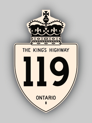
History of King's Highway 119:
King's Highway 119 was a short local highway in the District of Kenora that once connected Richan to Highway 17 near Dryden. The highway was first established in the
mid-1950s as an access road to Richan, located northwest of Dryden. A Preliminary Route Plan was prepared by the Department of Highways of Ontario (DHO) in October
1955, which showed the proposed King's Highway to Richan. The DHO assumed the road as King's Highway 119 on January 18, 1956. The new highway was 14 miles (23 km) in
length. The highway remained gravel-surfaced up until 1974, when the southernmost 12 km of the highway was paved. The northern portion was not paved until years
later, making Highway 119 one of the last King's Highways in Ontario to retain gravel-surfaced sections. Since Highway 119 served only a local purpose, it was decided
in the early 1970s that the route should be re-designated as a Secondary Highway. Highway 119 was renumbered as Secondary
Highway 665, effective August 7, 1974. 
 |
|---|
Links to Adjacent King's Highway Pages: 


Website contents, photos & text © 2002-2024, Cameron
Bevers (Webmaster) - All Rights Reserved / Contact Me |
|---|