| 
| |
|
|
History of King's Highway 126 (#1):
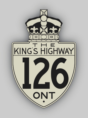
There have been two King's Highways in Ontario known as Highway 126. The better-known Highway 126 followed Highbury Avenue in London between 1963 and 1991, but there
was also once a Highway 126 between Bobcaygeon and Minden during the 1950s, whose existence was only just recently confirmed. In 1955, the Department of Highways of
Ontario (DHO) acquired several new King's Highways within the Counties of Victoria, Peterborough and Haliburton. One of these routes connected Highway 36 in
Bobcaygeon to Highway 35 south of Minden, via Kinmount. Preliminary Route Plans were prepared in May 1955, which showed the proposed assumption of the
Bobcaygeon-Kinmount-Minden Road as a new King's Highway. This new highway was initially numbered as Highway 126 and was approximately 30 miles (48 km) in length. The
DHO assumed jurisdiction over Highway 126, effective May 25, 1955. This assumption date also coincided with the establishment of another new King's Highway northeast
of Fenelon Falls via the Burnt River Road, that was numbered as Highway 121. These two highways intersected south of Kinmount near Union Creek. At some point between May 1955 and early 1956, a decision was made by the DHO to discontinue the use of the Highway 126 route number. In March 1956, a second leg of Highway 121 was put into service a considerable distance to the north between Minden and Tory Hill, via Haliburton Village. In order to connect the southern leg of Highway 121 from Fenelon Falls to Union Creek with the new northern leg, the Highway 126 route number was supplanted by the Highway 121 designation from the turn-off to Bobcaygeon near Union Creek northerly to Minden. The balance of Highway 126 from the Highway 36 Junction in Bobcaygeon northerly to the Highway 121 Junction at Union Creek was re-designated as Secondary Highway 500 by an Order-in-Council dated May 9, 1956. This southern section of former Highway 126 was subsequently renumbered as Secondary Highway 649 in 1964. The DHO's Official Road Map for 1955 does not show the routes of Highway 121 or Highway 126 at all. The 1956 Edition shows the new Highway 121 and Highway 500 designations instead of Highway 126, which suggests that the new route numbers were already in effect by the time the 1956 Edition went to print. Although the first Highway 126 designation was in use for less than a year, the route number was used again on a different, unrelated Highway 126 which existed in London from the 1960s up until the early 1990s.  |
|---|
Links to Adjacent King's Highway Pages: 


Website contents, photos & text © 2002-2024, Cameron
Bevers (Webmaster) - All Rights Reserved / Contact Me |
|---|