| 
| |
|
|
History of King's Highway 17A (Thunder Bay):
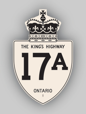
King's Highway 17A served as an alternate route to Highway 17 between Port Arthur (which later became part of Thunder Bay) and Sistonens Corners. The history of
Highway 17A dates back to the late 1930s, when the Department of Highways of Ontario (DHO) took over the Dawson Road from Port Arthur to Sistonens Corners as a new
King's Highway. A Preliminary Route Plan was prepared in April 1937, which showed the proposed route of the new King's Highway through the District of Thunder Bay.
The route was first assumed as King's Highway 17A by the DHO on June 30, 1937. The highway was approximately 23 miles (36 km) in length. The section of the road
within Port Arthur was not assumed by the DHO and thus this section of the route remained under municipal jurisdiction. Provincial ownership of Highway 17A began at
the city limits as they existed in 1937, near the location of today's Thunder Bay Expressway. In 1938, Highway 17A was paved from Port Arthur to the Dog Lake Road
turn-off (today's Highway 589 Junction) near Intola. The balance of the highway from Intola to Sistonens Corners was paved in 1964. The non-assumed section of
Highway 17A via Red River Road within the limits of the City of Port Arthur was designated as a Municipal Connecting Link by an Order-in-Council, effective May 26,
1960. When Highway 11 was extended west from Nipigon to Atikokan in 1960, the route of Highway 17A was co-designated with
Highway 11A for its entire length between Port Arthur and Sistonens Corners. In 1970, the new City of Thunder Bay was created out of the amalgamation of the City of Port Arthur, the City of Fort William, along with the Townships of Neebing and McIntyre. As a result of amalgamation, several changes were made to the way provincial highways were administered in the area. A new Municipal Connecting Link system was designated through the City of Thunder Bay. The route of Highway 11A & Highway 17A through the former City of Port Arthur was stripped of its official connecting link status by an Order-in-Council, effective November 5, 1970. However, the non-assumed portion of Highway 11A & Highway 17A lying east of the Thunder Bay Expressway continued to be signed as a King's Highway for many years thereafter by the municipality. In 1971, both Highway 11A and Highway 17A were renumbered as Highway 102. A different, unrelated Highway 17A has existed near Kenora since 1990. 
 |
|---|
Links to Adjacent King's Highway Pages: 

 Website contents, photos & text © 2002-2026, Cameron
Bevers (Webmaster) - All Rights Reserved / Contact Me
|
|---|