History of Secondary Highway 541A:
Secondary Highway 541A was a minor collector highway that once connected Highway 541 northeast of Sudbury to Falconbridge Mine. The road which ultimately became
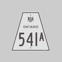
Secondary Highway 541A was first designated by an Order-in-Council dated May 9, 1956. However, it is believed that this short spur was originally signed as
Highway 541, not Highway 541A. The highway was given its own suffixed route number at some point after 1956, but the exact year is not known. The route number of
Highway 541A first appeared on the 1962 edition of the Official Ontario Road Map. The highway was already paved at the time the route was designated in 1956.
Initially, the highway entered the Falconbridge Mine Townsite at Lindsley Street, but the highway was later relocated onto a new route via Longyear Drive in 1965.
Highway 541A remained in the provincial highway system until the mid-1970s. The route of Highway 541A was decommissioned on May 1, 1974, when the highway was
transferred to the newly-formed Regional Municipality of Sudbury. The road is known today as Sudbury Road 89.
|