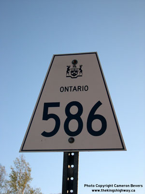
History of Secondary Highway 586:
Secondary Highway 586 is a local highway in the District of Thunder Bay that provides access from Highway 11 near Shebandowan to Shelter Bay, located on Shebandowan
Lake. The Shelter Bay Road was depicted on a Preliminary Route Plan prepared by the Department of Highways of Ontario (DHO) in April 1956 as a proposed Secondary
Highway. The route was designated as Secondary Highway 586 by an Order-in-Council dated May 9, 1956. The highway was about 3 miles in length and was gravel-surfaced
at first. The first 1 1/2-mile section of the highway was paved with a mulch asphalt surface in 1958, with the balance of the highway apparently paved during 1959.
Highway 586 was first shown with a completely paved surface on the 1960 Edition of the Ontario Official Road Map and was indicated to be a paved highway in the
Official Road Bulletins issued by the DHO during the latter part of 1959. The route of Highway 586 has not changed since it was first designated in 1956. Unless
posted otherwise, the speed limit on Highway 586 is 60 km/h (35 mph). There are no services available along this highway.
|