| 
| |
|
|
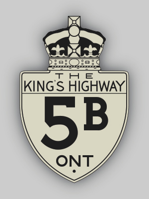
History of King's Highway 5B:
King's Highway 5B was a short connector highway in Wentworth and Brant Counties, which ran from the Highway 8 Junction in Dundas to the Highway 5 & Highway 24
Junction at Osborne Corners, north of Brantford. The highway was first established in the late 1930s, when the Governor's Road was assumed as a new provincial highway.
Preliminary Route Plans were prepared in October 1937, showing the proposed assumption of the Governor's Road from Dundas westerly to Osborne Corners. The Department
of Highways acquired the road on April 13, 1938, when the route was assumed and designated as King's Highway 5B. The route was already paved between Copetown and
Dundas when the highway was first assumed, but the balance of the highway was gravel-surfaced. The Highway 5B designation was very short lived; the route was
renumbered as Highway 99 in 1940.  |
|---|
Links to Adjacent King's Highway Pages: 


Website contents, photos & text © 2002-2025, Cameron
Bevers (Webmaster) - All Rights Reserved / Contact Me |
|---|