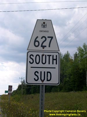
History of Secondary Highway 627:
Secondary Highway 627 is a local highway in the District of Thunder Bay which connects Pukaskwa National Park to Highway 17 near Marathon. The history of Highway 627
dates back to the late 1950s, when the Department of Highways of Ontario (DHO) assumed jurisdiction over the Heron Bay Road. A Highway Plan was prepared in March
1958, which showed a new Secondary Highway which extended southerly from Highway 17 for approximately 3.8 miles (6 km) to Heron Bay Station. This plan was registered
on July 30, 1958 and the new highway was formally designated as Secondary Highway 627 by an Order-in-Council, effective July 17, 1958. A short extension to
Highway 627 from Heron Bay Station to the company town of Heron Bay South was shown on a Highway Plan prepared in July 1958. This plan was registered on August 18,
1958 and was designated as Secondary Highway 627 by an Order-in-Council, effective July 30, 1958. The new highway ended at Winston Drive, located within Heron Bay
South. Following the extension to Heron Bay South, the length of Highway 627 stood at approximately 5 miles (8 km). The entire route of Highway 627 was paved with
asphalt during 1958.
During the 1970s, the federal government established Pukaskwa National Park along Lake Superior's remote and rugged northern shores. No roads served this remote
shoreline, so it was decided to extend Highway 627 southerly to the park entrance at the northwestern tip of the park. Construction began on the new access road to
Pukaskwa National Park in 1979. The new highway opened to traffic in late 1980. The highway extension to Pukaskwa National Park was formally designated as part of
Secondary Highway 627 by an Order-in-Council, effective February 17, 1981. Provincial jurisdiction over a 1 km bypassed section of Old Highway 627 which led into the
former site of Heron Bay South from the new route of Highway 627 was relinquished by an Order-in-Council, effective April 9, 1981.
The route of Highway 627 has not changed since the early 1980s. Unless posted otherwise, the speed limit on Highway 627 is 80 km/h. Services are available on
Highway 627 at Pic River First Nation or along Highway 17 at Peninsula Road (Former Highway 626) in Marathon.
|