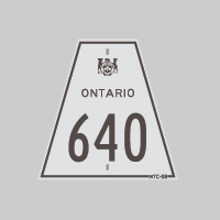
History of Secondary Highway 640:
Secondary Highway 640 was a local highway in the District of Timiskaming, which served as an access road between Highway 571 and Earlton's Airport. During the early
1960s, the Department of Highways of Ontario (DHO) assumed jurisdiction and control of the Earlton Airport Road. A Preliminary Assumption Plan was prepared by the DHO
on August 6, 1963, which indicated the intention to assume the existing road to Earlton Airport as a new provincial highway. The plan was registered on August 15,
1963, and the road was formally designated as Secondary Highway 640 by an Order-in-Council, effective September 27, 1963. The new highway to Earlton Airport was
approximately 1.8 miles in length, and was paved in 1963 shortly after the highway was assumed. Highway 640 was retained in the provincial highway system until 2004,
when jurisdiction over the route was transferred from the province to the municipal tier. Provincial ownership of Highway 640 ceased on February 25, 2004, when the
entire highway was transferred to the Township of Armstrong.
|