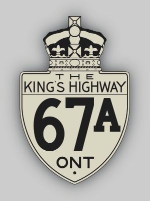
History of King's Highway 67A:
King's Highway 67A served as a new cut-off route to the Timmins area during the 1940s. The Department of Highways constructed a new highway from Highway 11 in
Matheson to Highway 67 just east of Timmins between 1938 and 1940. The new 31-mile highway provided a more direct route from Matheson to Timmins and eliminated the
need for traffic to venture north along Highway 11 to Porquis Junction to reach the turn-off for Highway 67 to Timmins. As the new highway neared completion, a
Preliminary Route Plan was prepared on May 9, 1940, showing the proposed assumption of the Matheson-Hoyle Road as a new King's Highway. The new route to Timmins was
officially assumed into the King's Highway system on June 26, 1940 and was assigned the King's Highway 67A designation. The new highway shortened the highway distance
between Timmins and Matheson by over 12 miles. The route was gravel-surfaced for its entire length. This route retained the Highway 67A designation for only four
years, before it was renumbered as Highway 101 in 1944.

|