| 
| |
|
|
History of King's Highway 86B (Wingham):
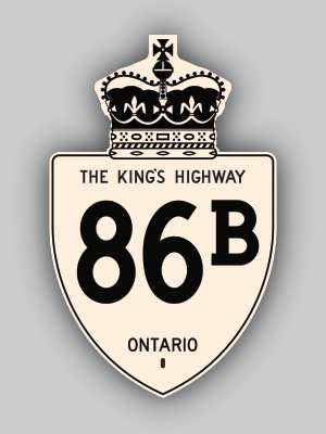
King's Highway 86B was a short Business Route which passed through Downtown Wingham. The highway was created in 1967 when the Wingham Bypass was completed and opened
to traffic. The route of Highway 86 was relocated onto the new bypass route, while the old Highway 86 alignment through Downtown Wingham became Highway 86B. The
highway was fairly short-lived and was decommissioned in the early 1970s. Virtually the entire route of Highway 86B was considered to be a non-assumed section of the
King's Highway under local jurisdiction with a Municipal Connecting Link designation. However, the Municipal Connecting Link designation of Wingham's Highway 86B
Business Loop was revoked by an Order-in-Council dated October 22, 1970, which resulted in the route being formally decommissioned. 
 |
|---|
Links to Adjacent King's Highway Pages: 


Website contents, photos & text © 2002-2026, Cameron
Bevers (Webmaster) - All Rights Reserved / Contact Me
|
|---|