Click on any King's Highway route marker sign from the menu below to see a detailed history and a link to a route map of that highway, showing historical re-routings
and realignments. Most of the route maps are still under development and will be posted later. For all other Ontario Highways, please return to the
Main Highway List. Enjoy!
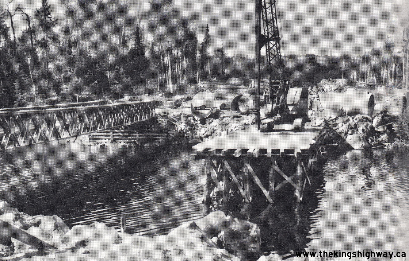
Photo at Right: Construction of a new bridge on Hwy 129 at Sideburned Lake southwest of Chapleau (1958)
(Photo courtesy of Ontario Ministry of Transportation - © King's Printer for Ontario, 1974)
|
|