
| 
| |
|
|
This page contains historical and present day photos of Ontario's King's Highway 17B (North Bay Business Route). All
photographs displayed on this page were taken by the Webmaster (Cameron Bevers), unless specifically noted otherwise. Historical photographs are arranged in
approximate chronological order, while present day photographs (Year 2000 to date) are arranged by location from east to west. Click on any thumbnail to see a
larger image!
Please note that all photographs displayed on this
website are protected by copyright. These photographs must not be reproduced, published,
electronically stored or copied, distributed, or posted onto other websites without
my written permission. If you want to use photos from this website, please
email me first for permission. Thank-you!
|
|---|
|
Historical King's Highway 17B (North Bay) Photographs


Left - Guide sign at the western end of the North Bay Bypass (Hwy 17) at the Hwy 17B Junction. Photo taken circa 1957. (Photo courtesy of North Magazine - Donated by Eric Vettoretti) Right - Route marker assembly approaching Fisher Street on the North Bay Bypass (Hwy 11 & Hwy 17). Photo taken circa 1957. (Photo courtesy of North Magazine - Donated by Eric Vettoretti) 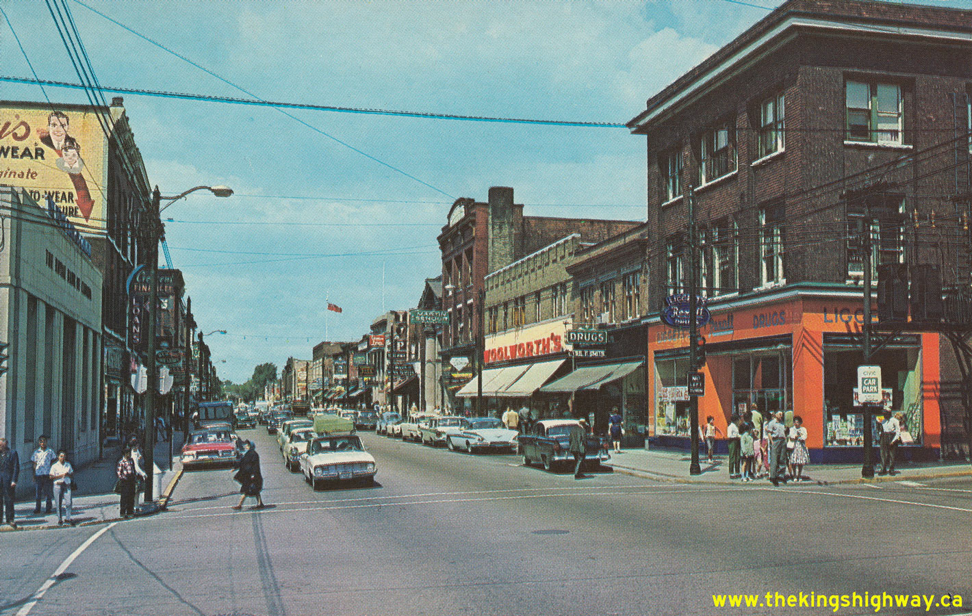
Left - Circa 1964 postcard view of Main Street (Hwy 11B & Hwy 17B), facing north from Ferguson Street in Downtown North Bay. See an
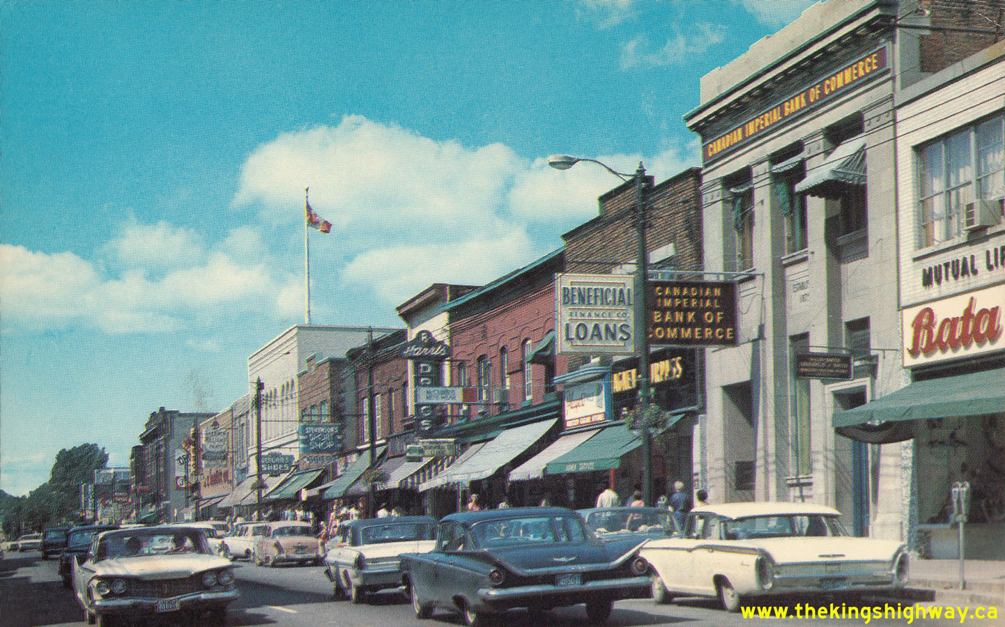
Enlarged Photo Here. (Photo courtesy of William R. Forder) Right - Circa 1965 postcard view of Main Street (Hwy 11B & Hwy 17B) approaching Fraser Street in Downtown North Bay. During the 1970s, a new one-way street system was introduced through the city centre, by which the route of Hwy 11B & Hwy 17B was split up by direction. Northbound traffic used McIntyre Street, while southbound traffic used Oak Street. See an Enlarged Photo Here. (Photo courtesy of Northern Toy & Novelty, Sudbury) |
|---|
|
Present Day King's Highway 17B (North Bay) Photographs


Left - Advance direction sign for the Hwy 17B (Fisher Street) Junction on the North Bay Bypass. See an
Enlarged Photo Here. (Photograph taken on June 4, 2006 - © Cameron Bevers) Right - Facing west along Hwy 11 & Hwy 17 towards the Hwy 17B Junction (Fisher Street) in North Bay. See an Enlarged Photo Here. (Photograph taken on June 4, 2006 - © Cameron Bevers) 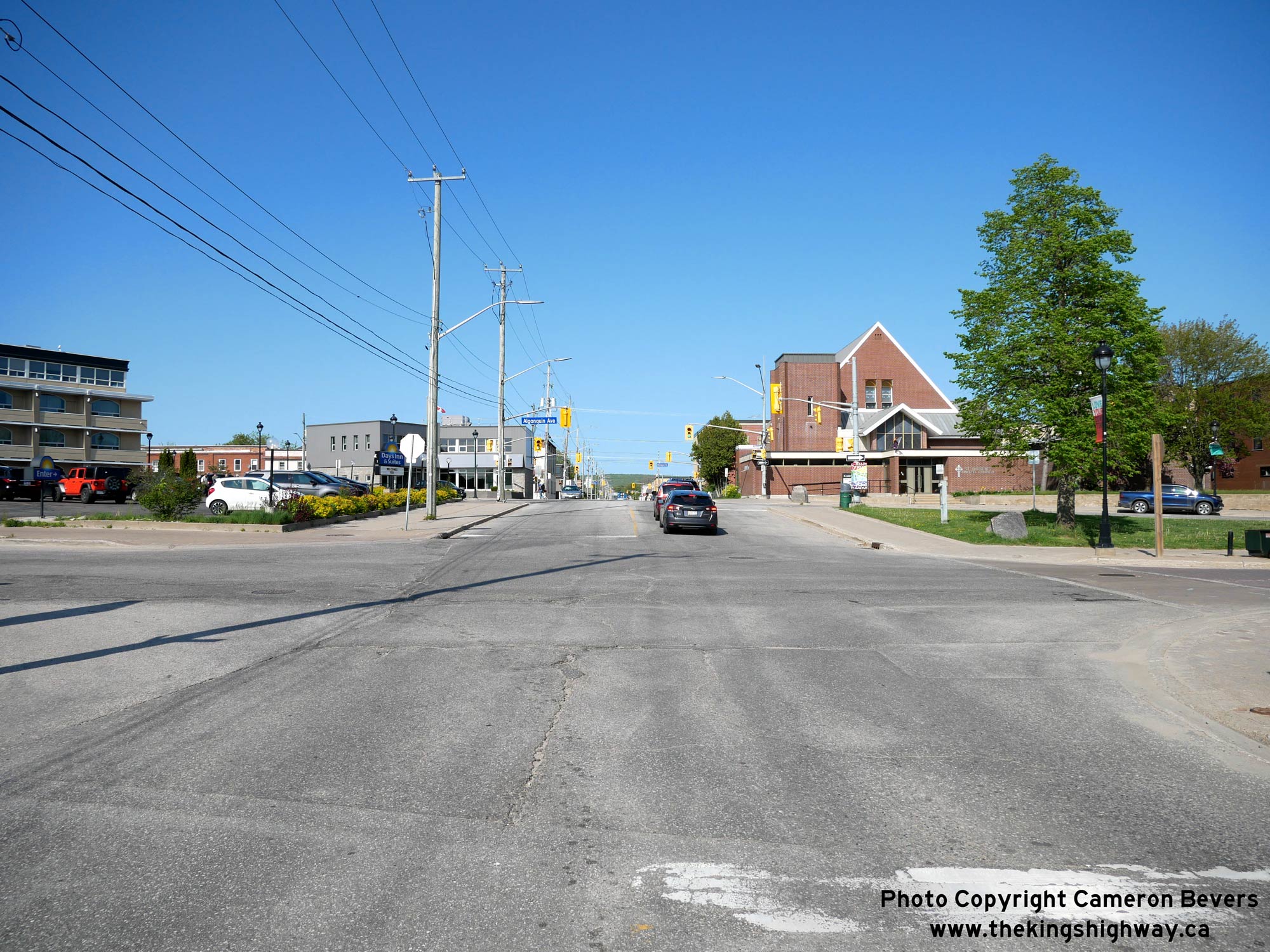
Above - Facing north along Cassells Street (Hwy 63) from its historical southern terminus at Main Street (Hwy 17B) in Downtown North Bay. At the northern
entrance to the city centre, Hwy 11B, Hwy 17B and Hwy 63 all interconnected within a space of two city blocks. Cassells Street (Hwy 63) intersects with the
southbound route of Hwy 11B via Algonquin Avenue just ahead. One block to the north, Hwy 63 intersects with the northbound route of Hwy 11B via McIntyre Street. See
an Enlarged Photo Here. (Photograph taken on May 27, 2023 - © Cameron Bevers) 
Left - Historical southern terminus of Hwy 63 at the intersection of Cassells Street and Main Street (Hwy 17B) in North Bay. See an
Enlarged Photo Here. (Photograph taken on May 27, 2023 - © Cameron Bevers) Right - Facing east along Main Street (Hwy 17B) approaching Cassells Street (Hwy 63) in North Bay. Up until the 1990s, the southbound route of Hwy 17B continued straight ahead via Main Street, while Hwy 63 turned left and headed north towards Temiscaming, Quebec. The routes of Hwy 11B, Hwy 17B and Hwy 63 within the downtown area were still being sporadically signed by the city up until 2007, although none of these routes were designated as Municipal Connecting Links by that time. See an Enlarged Photo Here. (Photograph taken on May 27, 2023 - © Cameron Bevers) 

Left - Facing west along Main Street (Hwy 17B) in North Bay approaching Cassells Street (Hwy 63). Prior to the completion of the North Bay Bypass, traffic on
Hwy 11 & Hwy 17 had to pass right through Downtown North Bay in order to access Hwy 63. The completion of the new bypass in 1953 provided an interceptor road to
redirect long distance traffic away from the downtown area. After 1953, through traffic approaching North Bay via Hwy 11 & Hwy 17 could directly access Hwy 63
from the North Bay Bypass, instead of having to go through downtown. See an Enlarged Photo Here. (Photograph taken on May 27, 2023 - © Cameron Bevers) Right - View of Main Street (Hwy 17B) in North Bay, facing south towards the southbound route of Hwy 11B via Algonquin Avenue. Historically, both Hwy 11 & Hwy 17 followed Main Street through North Bay's City Centre. In the years following the completion of the North Bay Bypass, Hwy 11B & Hwy 17B continued to be signed via Main Street. During the 1970s, a new one-way street system was introduced through North Bay with southbound traffic on Hwy 11B & Hwy 17B signed via Oak Street, and northbound traffic signed via McIntyre Street. Southbound Hwy 17B turned right from Main Street onto Algonquin Avenue and ran concurrently with Hwy 11B through the city centre. See an Enlarged Photo Here. (Photograph taken on May 27, 2023 - © Cameron Bevers) 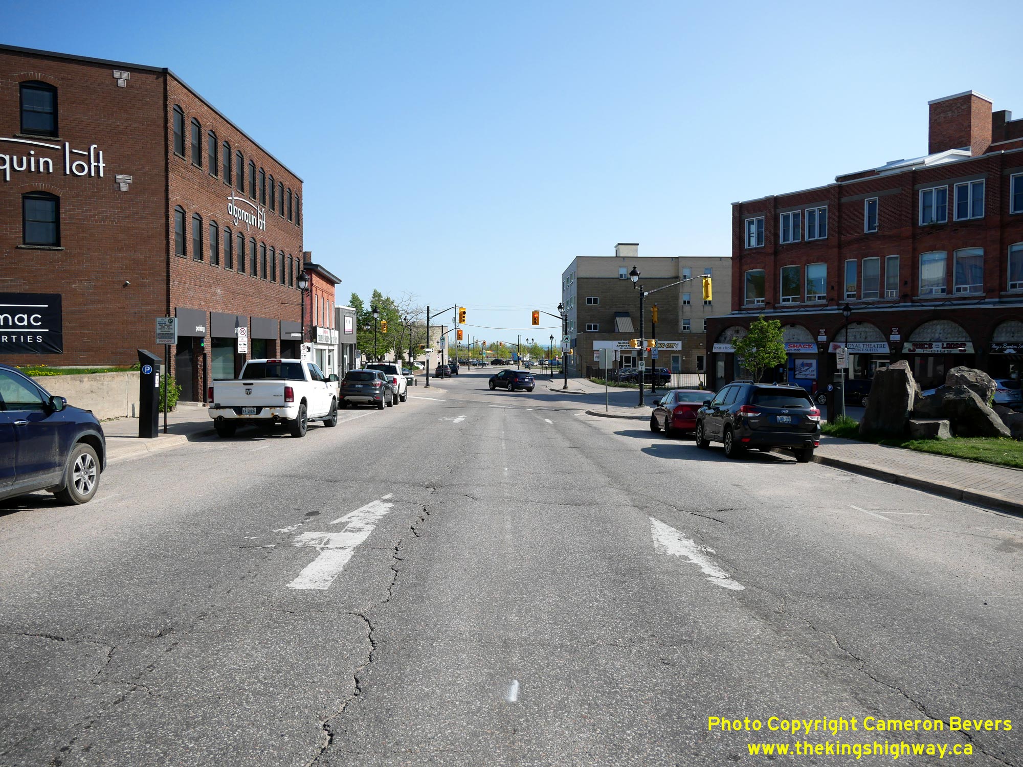
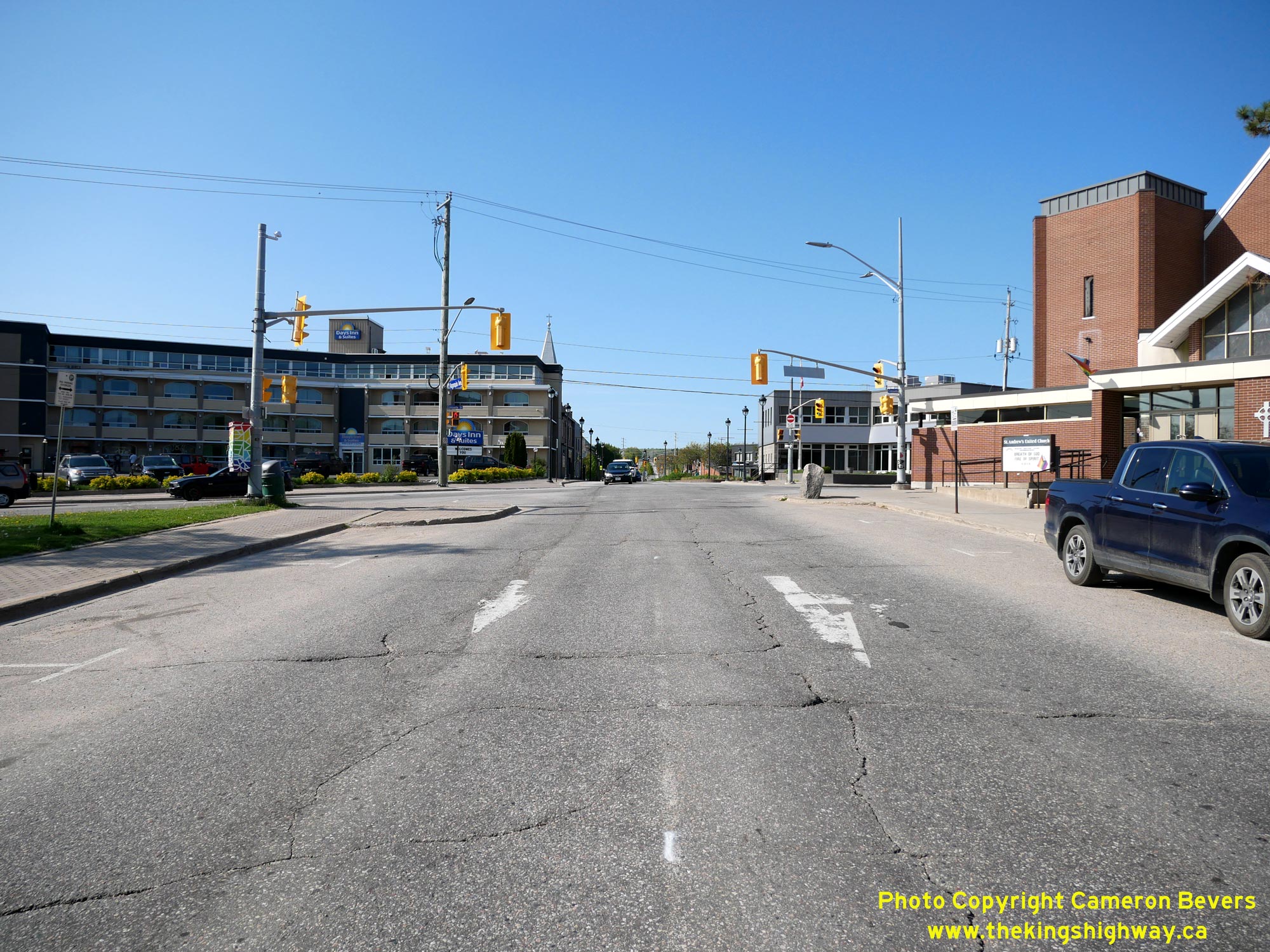
Left - Facing south along the southbound route of Hwy 11B via Algonquin Avenue towards Main Street (Hwy 17B) in Downtown North Bay. Following the conversion
of Oak Street and McIntyre Street as a one-way bypass loop around the city centre, Hwy 11B & Hwy 17B joined together at this intersection and proceeded south for
one block to join Oak Street at the next signalized intersection. See an Enlarged Photo Here. (Photograph taken on May 27, 2023 - © Cameron Bevers) Right - Facing north along the southbound route of Hwy 11B via Algonquin Avenue towards Cassells Street (Hwy 63) in Downtown North Bay. See an Enlarged Photo Here. (Photograph taken on May 27, 2023 - © Cameron Bevers) 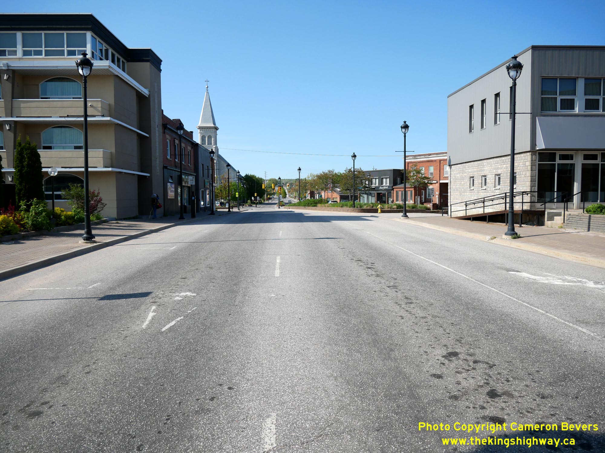
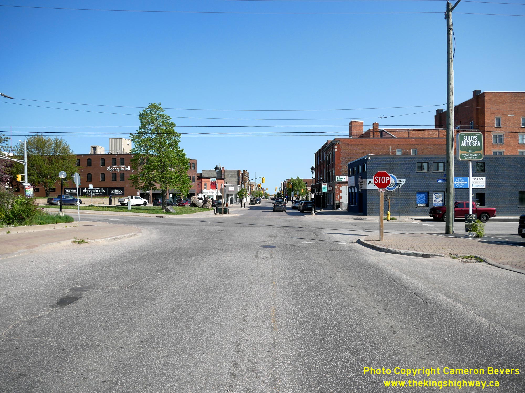
Left - View of Algonquin Avenue, facing north from Cassells Street (Hwy 63). The one-way street system through Downtown North Bay comes to an end just ahead
beside the church, where the northbound route of Hwy 11B via McIntyre Street ties back into Algonquin Avenue. See an
Enlarged Photo Here. (Photograph taken on May 27, 2023 - © Cameron Bevers) Right - Facing north along Cassells Street (Hwy 63) from the southbound route of Hwy 11B via Algonquin Avenue. Cassells Street intersects the northbound route of Hwy 11B via McIntyre Street just ahead at the next traffic signal. See an Enlarged Photo Here. (Photograph taken on May 27, 2023 - © Cameron Bevers) 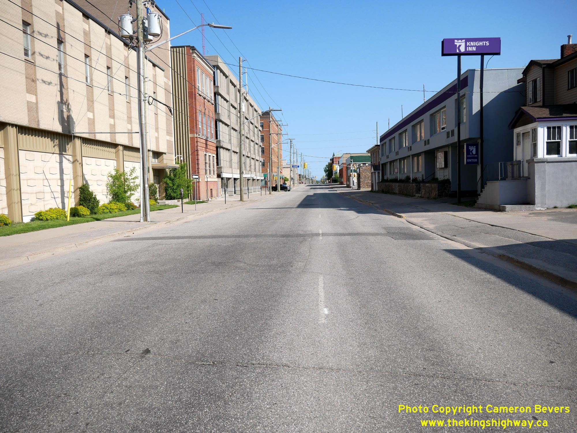

Left - View of the northbound route of Hwy 11B & Hwy 17B via McIntyre Street, facing south from Cassells Street (Hwy 63). See an
Enlarged Photo Here. (Photograph taken on May 27, 2023 - © Cameron Bevers) Right - Facing north along McIntyre Street at Cassells Street (Hwy 63). Traffic wishing to continue west along Hwy 17B can turn left onto Cassells Street and return to Main Street, while northbound traffic on Hwy 11B continues straight ahead, where traffic merges back into Algonquin Avenue. See an Enlarged Photo Here. (Photograph taken on May 27, 2023 - © Cameron Bevers) 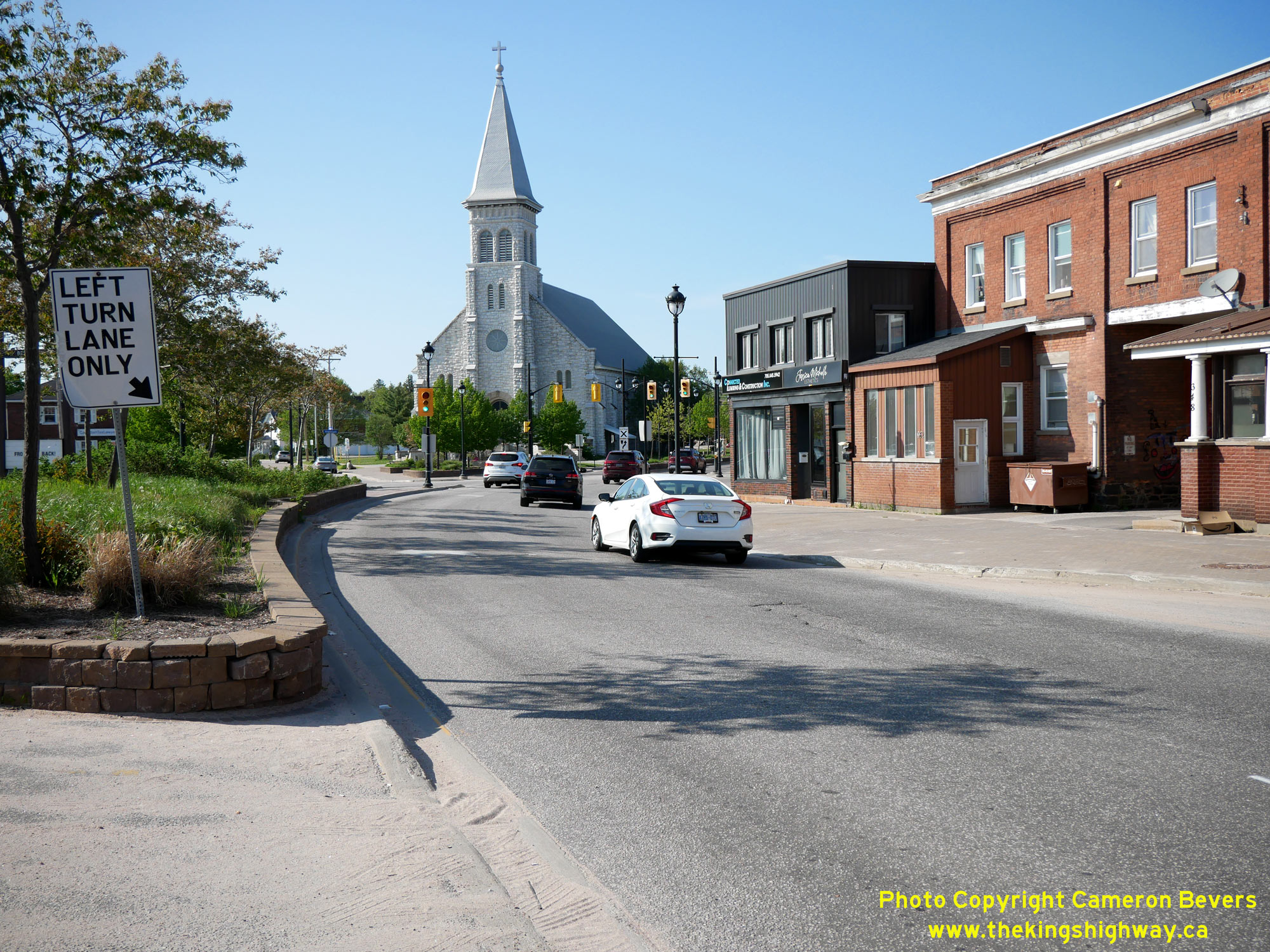

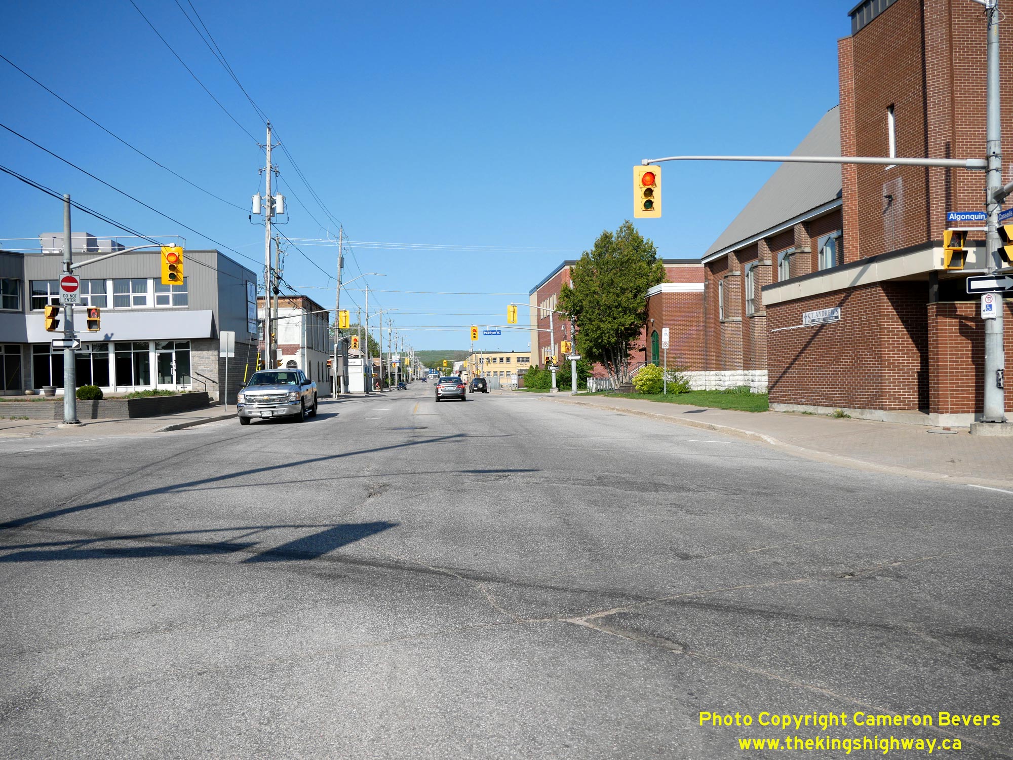
Left - End of the one-way street system for Hwy 11B at McIntyre Street and Algonquin Avenue. Here, the northbound route of Hwy 11B converges with the
southbound route of Hwy 11B via Algonquin Avenue. The reunion of the two routes takes place immediately north of Cassells Street (Hwy 63). The route of Hwy 11B
continues north via Algonquin Avenue and returns to the North Bay Bypass, which lies about 2 km ahead. The Pro-Cathedral of the Assumption, completed in 1905, forms
a very attractive landmark at the northern entrance to the city centre. See an
Enlarged Photo Here. (Photograph taken on May 27, 2023 - © Cameron Bevers) Right - Facing south along McIntyre Street (Hwy 11B) at Cassells Street (Hwy 63). See an Enlarged Photo Here. (Photograph taken on May 27, 2023 - © Cameron Bevers) 
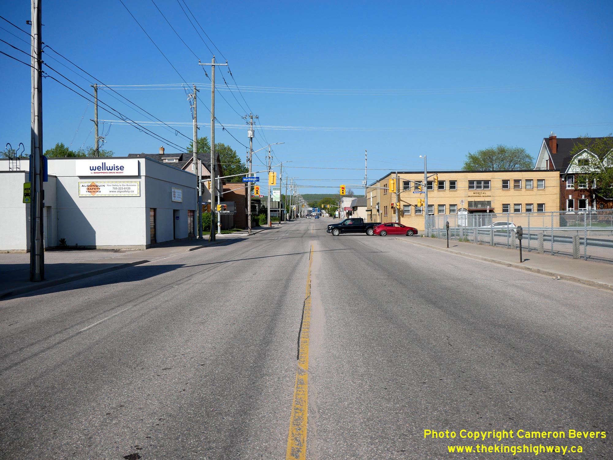
Left - Junction of Cassells Street (Hwy 63) at the northbound route of Hwy 11B (McIntyre Street), facing south towards Algonquin Avenue and Main Street.
Traffic bound for the city centre can continue ahead and then turn left onto Algonquin Avenue at the next block, while traffic heading out of the city may either turn
right at this intersection and follow Hwy 11B via McIntyre Street or proceed two blocks ahead and turn right onto Main Street (Hwy 17B). See an
Enlarged Photo Here. (Photograph taken on May 27, 2023 - © Cameron Bevers) Right - Facing north along Cassells Street (Hwy 63) from the northbound route of Hwy 11B (McIntyre Street). The North Bay Bypass lies about 2 km ahead. See an Enlarged Photo Here. (Photograph taken on May 27, 2023 - © Cameron Bevers) 

Left - Facing west along Hwy 17B at the Duchesnay Creek Bridge west of North Bay. (Photograph taken on August 28, 2004 - © Cameron Bevers) Right - Southern side of the Duchesnay Creek Bridge on Hwy 17B. Structure completed in 1936. (Photograph taken on August 28, 2004 - © Cameron Bevers) 

Left - Southern side of the Duchesnay Creek Bridge on Hwy 17B west of North Bay. This unique timber deck truss bridge was completed in 1936, and is
the only one of its kind on Ontario's highways. Timber deck truss road structures never saw widespread use in Ontario, so examples such as this one are
very rare. I know of only one other timber deck truss road structure in the province, and it is on a municipal road in the New Liskeard area. See an
Enlarged Photo here. (Photograph taken on August 28, 2004 - © Cameron Bevers) Right - The Duchesnay Creek Bridge on Hwy 17B offers a rare glimpse into the past, where 1930s-era road builders often preferred timber bridge construction in the northern parts of Ontario. The components of these timber bridges could be transported to a proposed bridge site easily and then assembled, rather than continually hauling large volumes of concrete from construction plants many miles away. Nearly all timber bridges in Ontario were timber trestles or arched timber through truss bridges. The Duchesnay Creek Bridge is the only surviving timber deck truss structure on Ontario's provincial highway system. (Photograph taken on August 28, 2004 - © Cameron Bevers) 

Left - Until recently, the original timber handrails of the Duchesnay Creek Bridge were intact. Sadly, the original timber handrails were removed
during a bridge rehabilitation contract in 2003, and replaced with temporary concrete barriers. (Photograph taken on August 28, 2004 - © Cameron Bevers) Right - Close-up of the massive timber superstructure of the Duchesnay Creek Bridge on Hwy 17B. This intricate timber structure is one of the province's most interesting highway bridges, yet it isn't particularly well known. This is probably because the timber deck truss isn't noticeable from the highway above. See an Enlarged Photo here. (Photograph taken on August 28, 2004 - © Cameron Bevers) 

Left - Commanda Township Railway Overhead on Hwy 17B west of North Bay, crossing a former CNR line. (Photograph taken on August 28, 2004 - © Cameron Bevers) Right - Southern side of the Commanda Township Railway Overhead on Hwy 17B west of North Bay. This 11-span concrete structure was built in 1938 to carry Hwy 17 over the CNR line, bypassing a badly skewed at-grade railway crossing. This section of Hwy 17 was renumbered as Hwy 17B in the late 1950s. See an Enlarged Photo here. (Photograph taken on August 28, 2004 - © Cameron Bevers) 

Left - View underneath the Commanda Township Railway Overhead on Hwy 17B. The skewed angle of the railway forced designers to utilize a very
complicated but ingenious pier arrangement. It's hard to believe that this bridge was built over 70 years ago. (Photograph taken on August 28, 2004 - © Cameron Bevers) Right - On the two spans which crossed the former railway lines, the longitudinal deck beams change in alignment so that they ran perpendicular to the railway line, joining into a set of central piers. This surprisingly complex bridge is actually quite reflective of the time period when it was built. In the 1930s, it seemed that engineers found it more important to triumph over an obstacle, rather than look for design trade-offs to get better value out of a project. Had this bridge been designed even 10 years later, the entire roadway alignment would have been shifted so that it crossed the railway closer to a right angle, thereby reducing the overall bridge length and corresponding construction costs. (Photograph taken on August 28, 2004 - © Cameron Bevers) 
Above - Northern side of the Commanda Township Railway Overhead on Hwy 17B west of North Bay. (Photograph taken on August 28, 2004 - © Cameron Bevers) 

Left - Facing east along the North Bay Bypass (Hwy 17) from the Hwy 17B Junction. When the North Bay Bypass was completed and opened to traffic in 1953, it
provided instant traffic relief to a very congested section of Hwy 11 & Hwy 17 which passed through Downtown North Bay. Today, Hwy 11 & Hwy 17 pass through
the city via this limited-access arterial highway, as opposed to the former highway routes which followed downtown city streets. The North Bay Bypass widens from two
to four lanes in the background, just beyond Duchesnay Creek. See an Enlarged Photo Here. (Photograph taken on July 20, 2012 - © Cameron Bevers) Right - Facing east along Hwy 17B (Main Street) from the North Bay Bypass (Hwy 17). Up until the completion of the North Bay Bypass in 1953, all Hwy 17 traffic had to pass through the city centre. The old route of Hwy 17 through North Bay was ultimately renumbered as Hwy 17B in 1958. See an Enlarged Photo Here. (Photograph taken on July 20, 2012 - © Cameron Bevers) 

Left - Approaching the North Bay Bypass (Hwy 17) Junction on Hwy 17B in Commanda Township, facing west. From this photo, it is very obvious that the highway
used to continue to curve west on its route towards Sturgeon Falls and Sudbury. Once the North Bay Bypass was completed, westbound traffic departing from North Bay
on Hwy 17B had to make a sharp turn to the right in order to access Hwy 17 and the North Bay Bypass. See an
Enlarged Photo Here. (Photograph taken on July 20, 2012 - © Cameron Bevers) Right - Junction sign assembly at the western terminus of Hwy 17B at the Hwy 17 Junction west of North Bay. See an Enlarged Photo Here. (Photograph taken on July 20, 2012 - © Cameron Bevers) 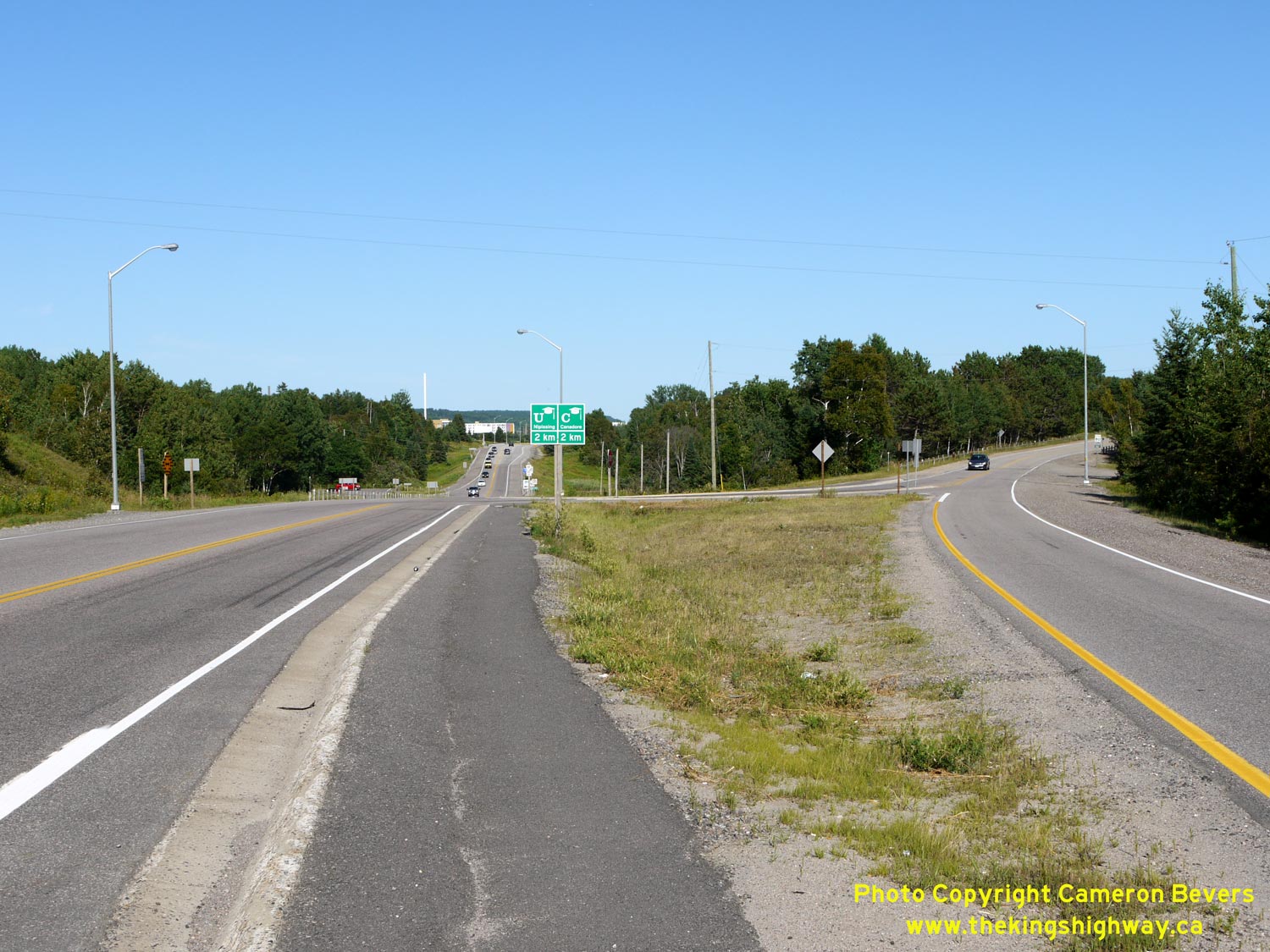

Left - Facing east along Hwy 17 at the Hwy 17B Junction west of North Bay. At this location, the North Bay Bypass (at left) tied into the original 1937 route
of Hwy 17, seen at right. The original westbound lane of Hwy 17 departing from North Bay was realigned so that it met the new North Bay Bypass at a right angle. The
original eastbound lane of Hwy 17 was left in place and now serves as a channelized right turn lane from the North Bay Bypass to eastbound Hwy 17B. See an
Enlarged Photo Here. (Photograph taken on July 20, 2012 - © Cameron Bevers) Right - Green guide sign marking the exit to Hwy 17B (Main Street) on eastbound Hwy 17. See an Enlarged Photo Here. (Photograph taken on July 20, 2012 - © Cameron Bevers) 

Left - Facing east along Hwy 17 towards the Hwy 17B Junction west of North Bay. Originally, Hwy 17 curved to the right and headed into Downtown North Bay via
the present-day route of Hwy 17B. The right turn lane is channelized to provide easier access to Hwy 17B from eastbound Hwy 17. See an
Enlarged Photo Here. (Photograph taken on July 20, 2012 - © Cameron Bevers) Right - Western terminus of Hwy 17B at the Hwy 17 (North Bay Bypass) Junction in Commanda Township, west of North Bay. See an Enlarged Photo Here. (Photograph taken on July 20, 2012 - © Cameron Bevers)
More King's Highway 17B Photographs Coming Soon!
|
|---|
Links to Adjacent King's Highway Photograph Pages:
Back to King's Highway 17 Photos /
King's Highway 17B (North Bay) History /
On to King's Highway 18 Photos
Ontario Highway History - Main Menu / Back to List of Highways Website contents, photos & text © 2002-2026, Cameron
Bevers (Webmaster) - All Rights Reserved / Contact Me
|
|---|