| 
| |
|
|
This page contains historical and present day photos of Ontario's King's Highway 18B (Ruthven). All photographs displayed on
this page were taken by the Webmaster (Cameron Bevers), unless specifically noted otherwise. Historical photographs are arranged in approximate chronological order,
while present day photographs (Year 2000 to date) are arranged by location from south to north. Click on any thumbnail to see a larger image!
Please note that all photographs displayed on this
website are protected by copyright. These photographs must not be reproduced, published,
electronically stored or copied, distributed, or posted onto other websites without
my written permission. If you want to use photos from this website, please
email me first for permission. Thank-you!
|
|---|
|
Present Day King's Highway 18B (Ruthven) Photographs

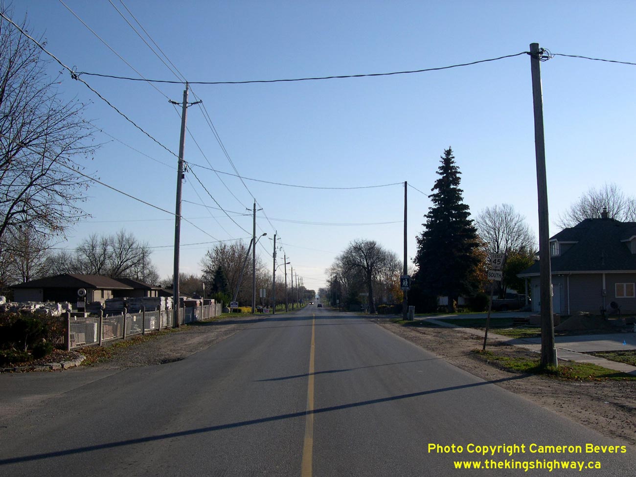
Above - View of Former Hwy 18B from Hwy 3 junction at Ruthven. The entire length of this short highway can be seen in this photo. The highway ended at the
Hwy 18 traffic signals in the distance. See an Enlarged Photo here. (Photograph taken on November 8, 2003 - © Cameron Bevers)
More King's Highway 18B Photographs Coming Soon!
|
|---|
Links to Adjacent King's Highway Photograph Pages:
Back to King's Highway 18 Photos /
King's Highway 18B (Ruthven) History /
On to King's Highway 19 Photos
Ontario Highway History - Main Menu / Back to List of Highways Website contents, photos & text © 2002-2024, Cameron
Bevers (Webmaster) - All Rights Reserved / Contact Me |
|---|