History of Secondary Highway 628:
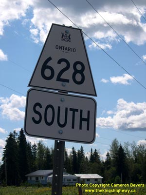
Secondary Highway 628 is a collector highway in the District of Thunder Bay that provides access from Red Rock to Highway 11 & Highway 17 west of Nipigon. A
Preliminary Assumption Plan was prepared by the Department of Highways of Ontario (DHO) in July 1961, which showed the proposed assumption of the Red Rock Road as a
new provincial highway. The new highway began at the Canadian National Railway (CNR) crossing in Red Rock and headed in a northwesterly direction for approximately
4 miles (7 km) to the Trans-Canada Highway (Highway 11 & Highway 17). The Red Rock Road was designated as Highway 628 by an Order-in-Council, effective July 20,
1961. The highway was gravel-surfaced at first but was paved in its entirety in 1966. Few changes have been made to the route of Highway 628 over the years. The
construction of the new four-lane route of Highway 11 & Highway 17 in the Nipigon area resulted in a short extension to Highway 628 in 2017, in order to connect
the two highways together. Unless posted otherwise, the speed limit on Highway 628 is 80 km/h (50 mph). There are no services available on Highway 628, but services
are available on Highway 11 & Highway 17 in nearby Nipigon.
|