History of King's Highway 11B (Atikokan):
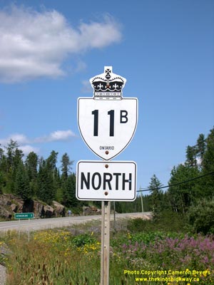
The Atikokan Highway 11B Business Route was created in 1965, after the new Highway 11 extension from Atikokan to Fort Frances was completed and opened to traffic. A
portion of the old route of Highway 11 leading into Atikokan was bypassed by the new highway to Fort Frances. The old section of Highway 11 was renumbered as
Highway 11B. This business route was unique in that it was a spur route, which did not form a complete loop and return to Highway 11. The highway ended at the Zuke
Road intersection in Atikokan, approximately 200 metres north of the Highway 622 Junction. Despite the elimination of most business routes in Ontario during the mass
highway downloading spree of 1997-1998, the 3.4 km Atikokan Highway 11B Business Route was retained in the provincial highway system.


|