| 
| |
|
|
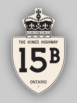
History of King's Highway 15B (Seeleys Bay):
The Seeleys Bay Highway 15B Business Route was created in 1961, when a new Highway 15 Bypass was built around the community. The old Highway 15 alignment through
downtown via Main Street was renumbered as Highway 15B. It is not known how long the Highway 15B designation lasted. The route reportedly existed up until 1965, when
it was transferred from the province to Leeds Township effective April 1, 1965. However, references can be found for this route in Department of Highways' documents
dated as late as 1971. Strangely, the highway does not appear in any of the DHO's mileage tables from the 1960s, which suggests that Highway 15B may have been an
unofficial, municipally-signed designation. Any additional information about this highway would certainly be appreciated. A different, unrelated Highway 15B existed
in Carleton Place during 1960 and 1961.  |
|---|
Links to Adjacent King's Highway Pages: 


Website contents, photos & text © 2002-2026, Cameron
Bevers (Webmaster) - All Rights Reserved / Contact Me
|
|---|