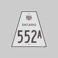
History of Secondary Highway 552A:
Secondary Highway 552A was a local highway in the District of Algoma that provided a short cut-off route from Highway 552 to Highway 17 north of Sault Ste. Marie.
Highway 552A first came into existence in 1961, when a former alignment of Highway 17 was re-designated as a Secondary Highway. Old Highway 17 through Vankoughnet
Township was re-designated as a Secondary Highway by an Order-in-Council, effective July 13, 1961, while the section of Old Highway 17 through Fenwick Township was
re-designated as a Secondary Highway by an Order-in-Council, effective September 7, 1961. This section of Old Highway 17 lying between the realigned Highway 17 and
the Highway 552 Junction was subsequently renumbered as Highway 552A. The route was maintained in the provincial highway system up until the late 1970s, when
provincial jurisdiction over Highway 552A was relinquished by virtue of an Order-in-Council dated March 28, 1979. Former Highway 552A is known as Post Office Road
today.
|