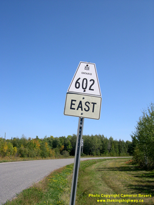
History of Secondary Highway 602:
Secondary Highway 602 is a local highway in the District of Rainy River that provides access to a number of rural townships lying south of Highway 11 & Highway 71
between Fort Frances and Emo. Highway 602 was first designated by an Order-in-Council dated May 9, 1956. The route was first depicted on a Preliminary Route Plan
prepared by the Department of Highways of Ontario (DHO) in May, 1956. Highway 602 has remained more or less the same ever since the route was first established in
1956, apart from one diversion near the Highway 611 Junction that was constructed in the mid-1960s. Jurisdiction over the old alignment of Highway 602 (via Old School
Road) was transferred from the Ministry of Transportation & Communications (MTC) to the Municipal Township of Alberton, effective April 20, 1977. When Highway 602
was first established in the 1950s, the entire highway was gravel-surfaced. A primed bituminous surface was constructed along the highway in 1967-1968.
As originally assumed in 1956, provincial jurisdiction over Highway 602 ended at the western limits of the Town of Fort Frances at Oakwood Road. The balance of the
route of Highway 602 from Oakwood Road to the Highway 11 & Highway 71 Junction in Fort Frances was considered to be a non-assumed portion of the highway under
municipal jurisdiction. This non-assumed section of Highway 602 through Fort Frances was formally designated as a Municipal Connecting Link by an Order-in-Council,
effective February 8, 1962. The Municipal Connecting Link status of Highway 602 through Fort Frances was revoked by a Minister's Order dated September 18, 1997,
although the route of Highway 602 through Fort Frances is still signed through the town in order to preserve route continuity. Unless posted otherwise, the speed
limit on Highway 602 is 80 km/h (50 mph). There are no services available on this highway, although services are available along Highway 11 & Highway 71 in both
Emo and Fort Frances.
|