Ontario King's Highway 40B Historical Route Maps
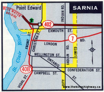
Route of King's Highway 40B through Downtown Sarnia as it was shown on the Ontario Official Road Map from 1966-1976. See an
Enlarged Map Here.
(Excerpt from the 1966 Official Ontario Road Map - © King's Printer for Ontario, 1966)
|
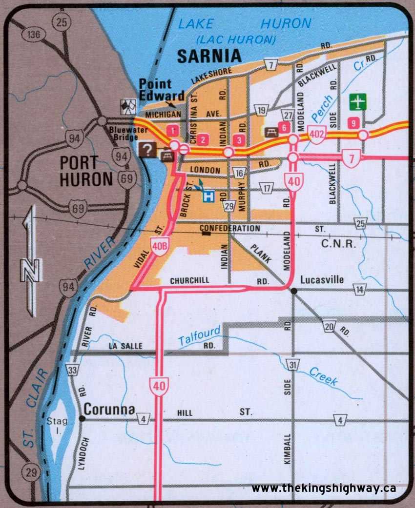
Route of King's Highway 40B through Downtown Sarnia as it was shown on the Ontario Official Road Map from 1980-1982. See an
Enlarged Map Here.
(Excerpt from the 1980-1981 Official Ontario Road Map - © King's Printer for Ontario, 1980)
|

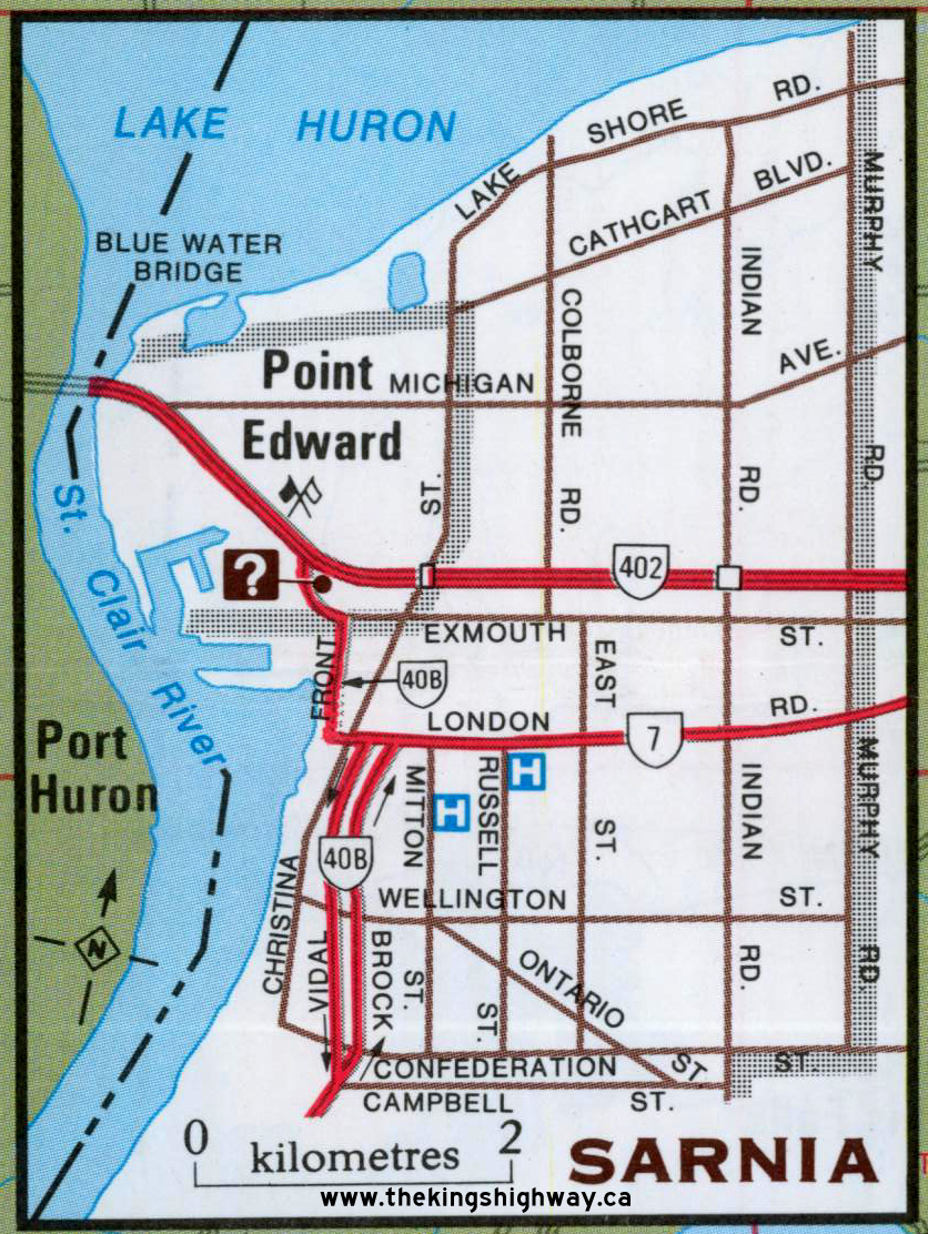
Route of King's Highway 40B as it was shown on the Ontario Official Road Maps from 1984-1992. See an
Enlarged Map Here.
(Excerpt from the 1992-1993 Official Ontario Road Map - © King's Printer for Ontario, 1992)
|
|
|---|
Links to Other King's Highway Website Pages:
Website contents, photos & text © 2002-2026, Cameron
Bevers (Webmaster) - All Rights Reserved / Contact Me
|
|---|