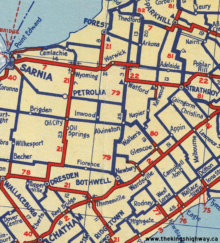
Ontario King's Highway 79 Historical Route Maps

Route of King's Highway 79 as it existed following assumption in 1937. See an Enlarged Map Here.
(Excerpt from the 1938-1939 Official Ontario Road Map - © King's Printer for Ontario, 1938)
|

Route of King's Highway 79 at Bothwell in 1946, showing the routes of King's Highway 79 and King's Highway 79A. See an Enlarged Map Here.
(Excerpt from the 1946 Official Ontario Road Map - © King's Printer for Ontario, 1946)
|

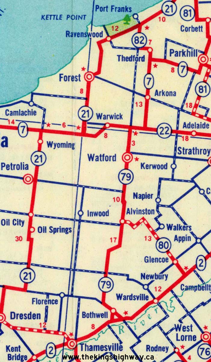
Route of King's Highway 79 as it existed in 1955, following the extension north of Watford. See an Enlarged Map Here.
(Excerpt from the 1955 Official Ontario Road Map - © King's Printer for Ontario, 1955)
|

Route of King's Highway 79 & King's Highway 82 as they existed before the 1982 route renumbering. See an Enlarged Map Here.
(Excerpt from the 1980-81 Official Ontario Road Map - © King's Printer for Ontario, 1980)
|

Route of King's Highway 79 as it existed after the 1982 route renumbering. See an Enlarged Map Here.
(Excerpt from the 1982-83 Official Ontario Road Map - © King's Printer for Ontario, 1982)
|

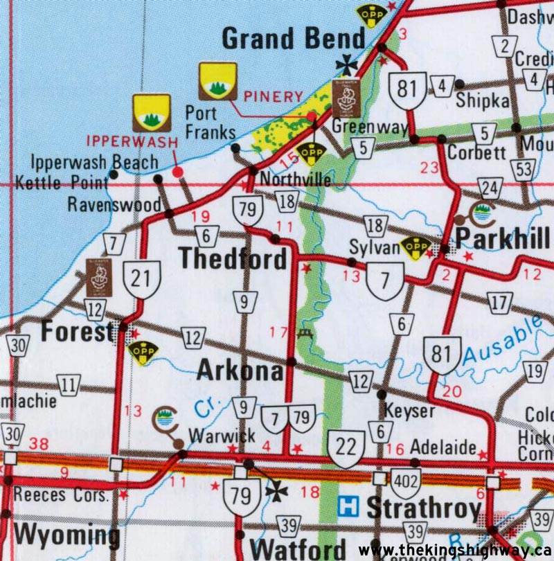
Route of King's Highway 79 as it existed following the extension north to Highway 21. See an Enlarged Map Here.
(Excerpt from the 1992-1993 Official Ontario Road Map - © King's Printer for Ontario, 1992)
|
|
|---|
Links to Other King's Highway Website Pages:
Website contents, photos & text © 2002-2026, Cameron
Bevers (Webmaster) - All Rights Reserved / Contact Me
|
|---|