
| 
| |
|
|
This page contains photographs of British Columbia's Highway 31A, arranged by location from Kaslo westerly to New Denver. All
photographs displayed on this page were taken by the Webmaster (Cameron Bevers). To view photos of other British Columbia Highways, please select a highway number
listed on the British Columbia Photograph Index Page. Click on any
thumbnail to see a larger image!
Please note that all photographs displayed on this website are protected by copyright. These photographs must not be
reproduced, published, electronically stored or copied, distributed, or posted onto other websites without my written permission. If you want to use photos from this
website, please email me first for permission. Thank-you!
|
|---|
|
Page 1: BC Highway 31A Photographs: Kaslo to New Denver


Left - Facing east along "A" Avenue (Hwy 31) towards Downtown Kaslo from the Hwy 31A Junction. The grade leading into town from the west is quite steep!
Situated near the northern end of Kootenay Lake, Kaslo is the largest town located on both Hwy 31 and Hwy 31A. See an
Enlarged Photo Here. (Photograph taken on June 5, 2017 - © Cameron Bevers) Right - Approaching the Hwy 31A Junction on northbound Hwy 31 in Kaslo. See an Enlarged Photo Here. (Photograph taken on June 5, 2017 - © Cameron Bevers) 

Left - Junction sign assembly on northbound Hwy 31 approaching the Hwy 31A Junction. Hwy 31 North turns right and continues north towards Galena Bay, while
Hwy 31A continues straight ahead towards New Denver. Traffic bound for Galena Bay and Revelstoke should use Hwy 31A from Kaslo, as it is slightly shorter than the
main route of Hwy 31 and is less likely to be closed in winter. See an
Enlarged Photo Here. (Photograph taken on June 5, 2017 - © Cameron Bevers) Right - Green guide sign facing southbound Hwy 31 traffic at the Hwy 31A Junction in Kaslo. See an Enlarged Photo Here. (Photograph taken on June 5, 2017 - © Cameron Bevers) 

Left - Junction sign assembly on southbound Hwy 31 approaching the Hwy 31A Junction. The left arrow tab is angled downwards, presumably to infer to motorists
that there is a severe grade on Hwy 31 as it descends towards Downtown Kaslo via "A" Avenue. See an
Enlarged Photo Here. (Photograph taken on June 5, 2017 - © Cameron Bevers) Right - Facing north along Hwy 31 towards Galena Bay from the Hwy 31A Junction in Kaslo. See an Enlarged Photo Here. (Photograph taken on June 5, 2017 - © Cameron Bevers) 

Left - Eastern terminus of Hwy 31A at the Hwy 31 Junction in Kaslo. "A" Avenue continues straight ahead into Downtown Kaslo as Hwy 31 South, while the rather
inconspicuous turn-off for Hwy 31 North to Galena Bay can be seen at left. Some of the dramatic peaks of the Purcell Mountains can be seen on the far side of Kootenay
Lake. Although Kaslo is a fairly sizeable town, the eastern shore of Kootenay Lake opposite Kaslo is largely undeveloped. In fact, the Purcell Mountains offer one of
the largest wilderness areas of the British Columbia interior. With no feasible transportation corridors through the mountains besides Kootenay Lake itself, early
settlers avoided these mountains altogether. Even today, travel through this wild, mountainous area is very difficult. The next major road east of here is the Hwy 93
& Hwy 95 corridor, which lies about 80 km to the east across the mountains. However, to reach Hwy 93 & Hwy 95 from Kaslo, motorists must drive all the way
around the mountains on Hwy 3 via Creston and Cranbrook. See an Enlarged Photo Here. (Photograph taken on June 5, 2017 - © Cameron Bevers) Right - Facing west along Hwy 31A towards New Denver from the Hwy 31 Junction in Kaslo. See an Enlarged Photo Here. (Photograph taken on June 5, 2017 - © Cameron Bevers) 
Above - An older British Columbia Hwy 31A route marker near the Hwy 31 Junction in Kaslo. See an
Enlarged Photo Here. (Photograph taken on June 5, 2017 - © Cameron Bevers) 

Left - Approaching the Hwy 31 Junction on eastbound Hwy 31A in Kaslo. Hwy 31A reaches its eastern terminus just beyond the crest of this hill. See an
Enlarged Photo Here. (Photograph taken on June 5, 2017 - © Cameron Bevers) Right - Facing east along "A" Avenue (Hwy 31A) from Washington Street in Kaslo. See an Enlarged Photo Here. (Photograph taken on June 5, 2017 - © Cameron Bevers) 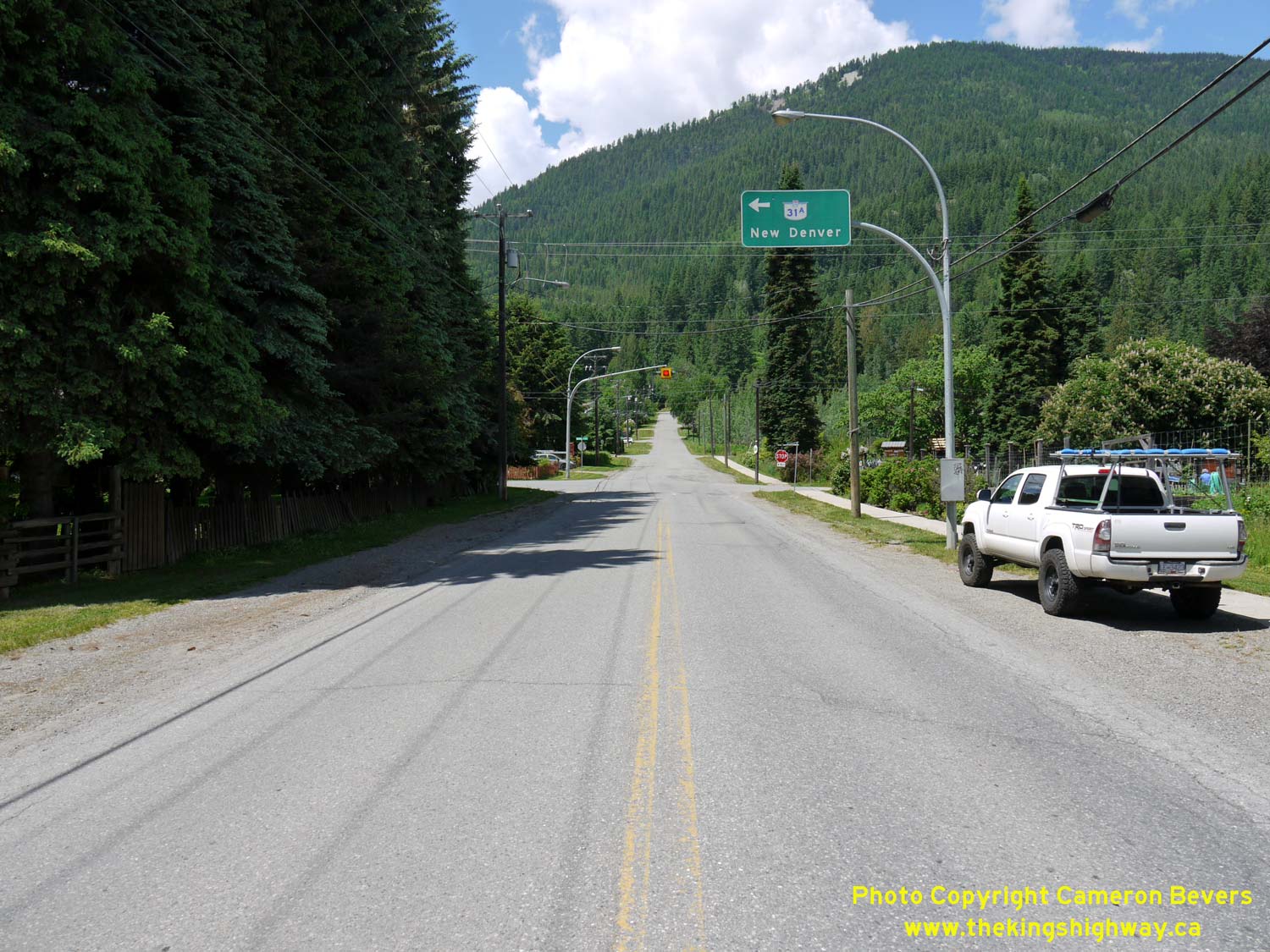
Left - Overhead guide sign on westbound "A" Avenue indicating the Hwy 31A turn-off at Washington Street. See an
Enlarged Photo Here. (Photograph taken on June 5, 2017 - © Cameron Bevers) Right - Facing east along Hwy 31A (Washington Street) approaching "A" Avenue in Kaslo. At the intersection, Hwy 31A turns right and heads into Downtown Kaslo. See an Enlarged Photo Here. (Photograph taken on June 5, 2017 - © Cameron Bevers) 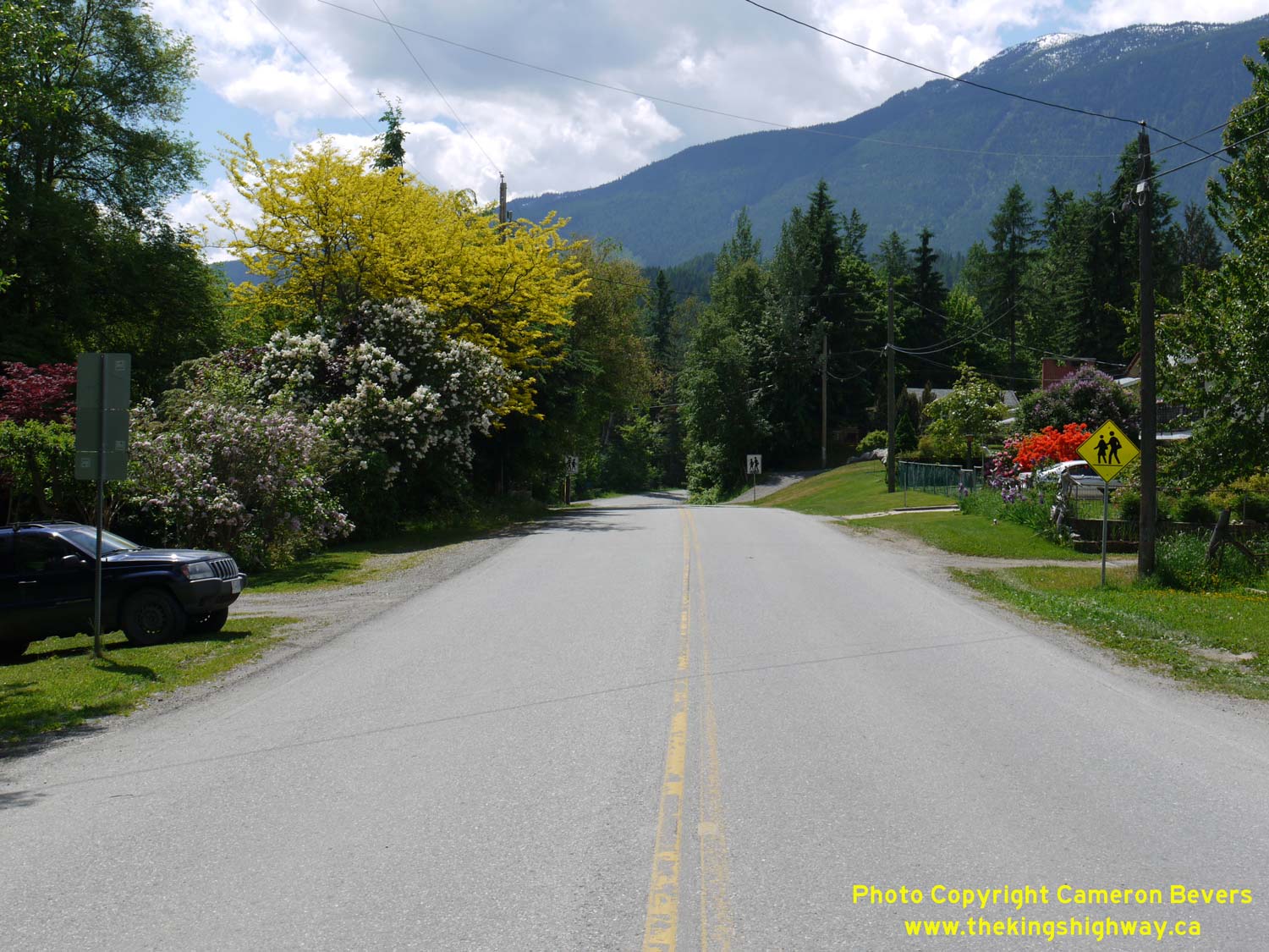

Left - Facing west along Hwy 31A (Washington Street) from "A" Avenue in Kaslo. See an
Enlarged Photo Here. (Photograph taken on June 5, 2017 - © Cameron Bevers) Right - Distance guide sign on westbound Hwy 31A departing Kaslo. See an Enlarged Photo Here. (Photograph taken on June 5, 2017 - © Cameron Bevers) 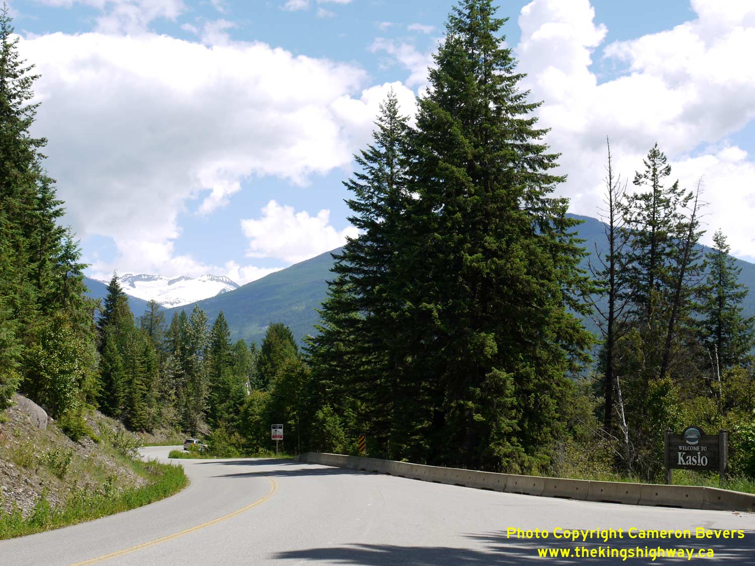
Left - Sign marking the entrance to Kaslo on eastbound Hwy 31A. See an
Enlarged Photo Here. (Photograph taken on June 5, 2017 - © Cameron Bevers) Right - Facing east along Hwy 31A about 3 km west of Kaslo. The Kaslo River closely hugs the highway for much of its route up into the mountains. See an Enlarged Photo Here. (Photograph taken on June 5, 2017 - © Cameron Bevers) 
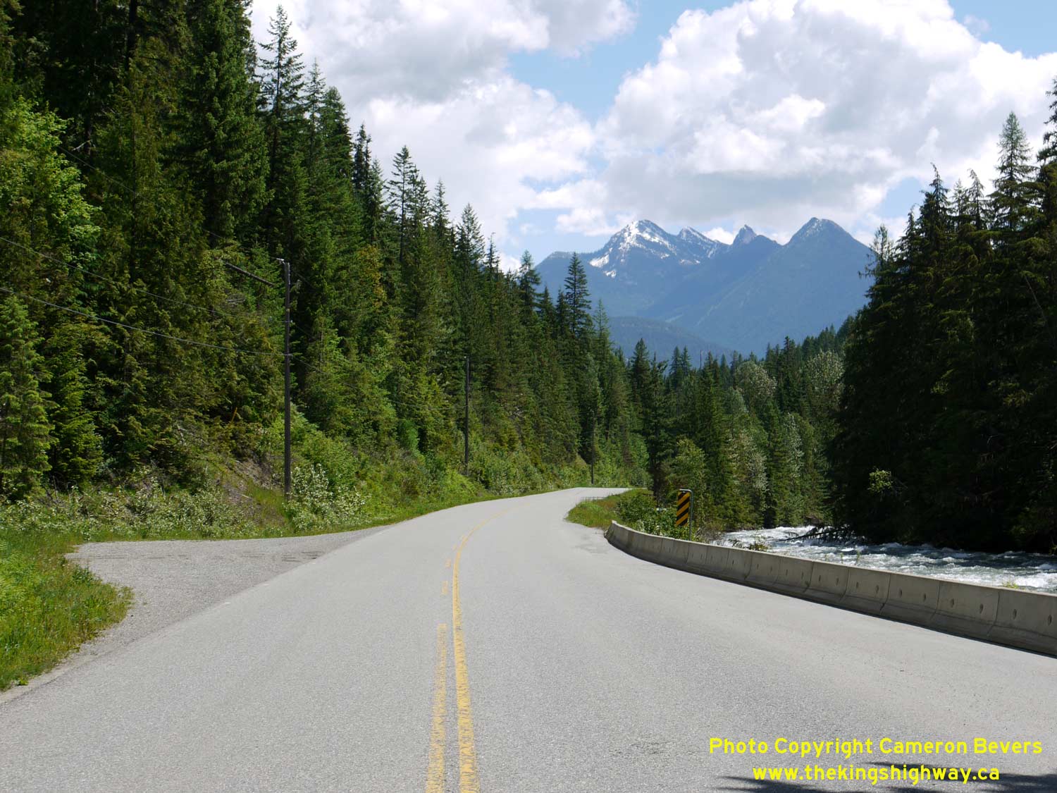
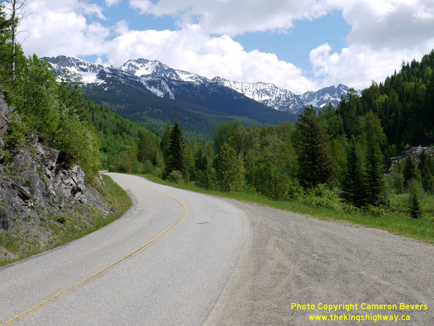
Left - Heading up into the mountains along Hwy 31A, about 23 km west of Kaslo. See an
Enlarged Photo Here. (Photograph taken on June 5, 2017 - © Cameron Bevers) Right - Snow-capped London Ridge appears over Hwy 31A, about 24 km west of Kaslo. See an Enlarged Photo Here. (Photograph taken on June 5, 2017 - © Cameron Bevers) 
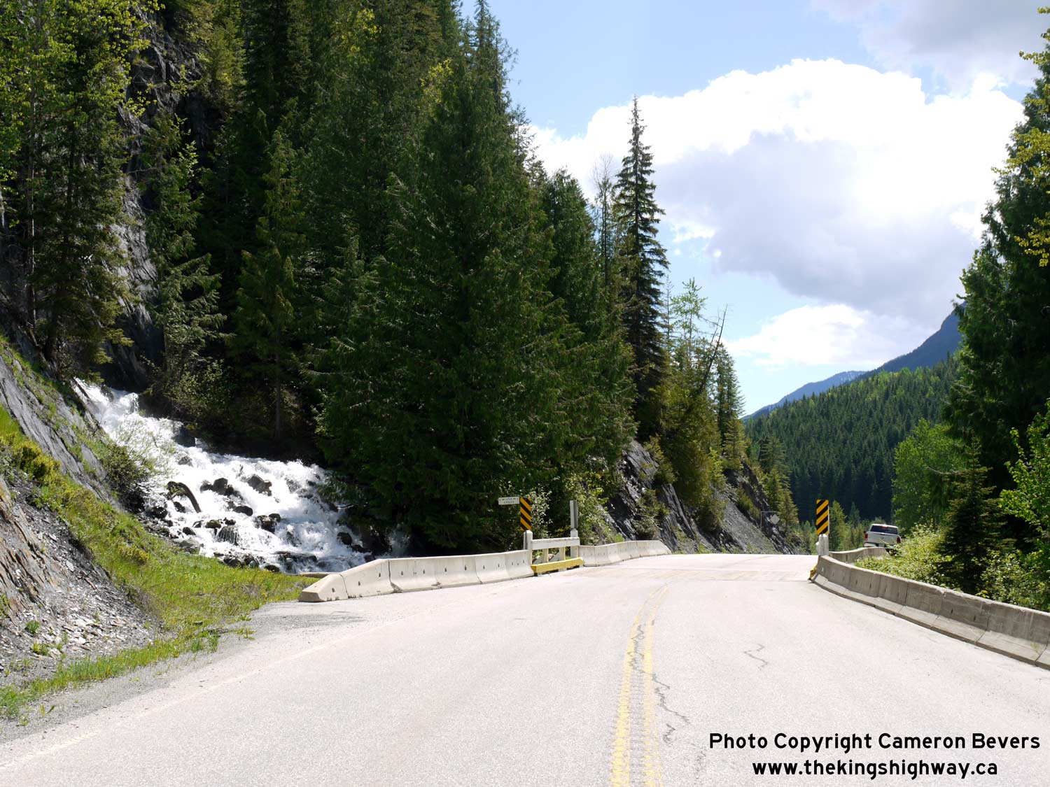
Left - Side view of a timber deck bridge over Lyle Creek on Hwy 31A, located about 24 km west of Kaslo. See an
Enlarged Photo Here. (Photograph taken on June 5, 2017 - © Cameron Bevers) Right - Lyle Creek cascades down beside Hwy 31A and then passes below the highway under a small timber structure. See an Enlarged Photo Here. (Photograph taken on June 5, 2017 - © Cameron Bevers) 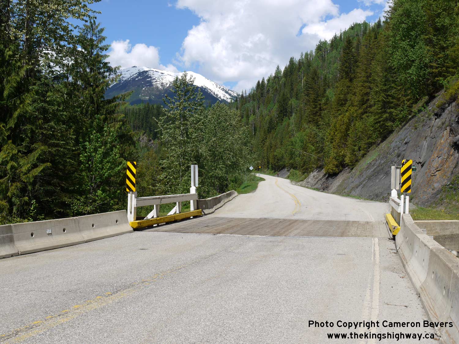
Left - Facing west along Hwy 31A at the Lyle Creek Bridge near Retallack. See an
Enlarged Photo Here. (Photograph taken on June 5, 2017 - © Cameron Bevers) Right - Facing east along Hwy 31A towards Kaslo at Retallack. See an Enlarged Photo Here. (Photograph taken on June 5, 2017 - © Cameron Bevers) 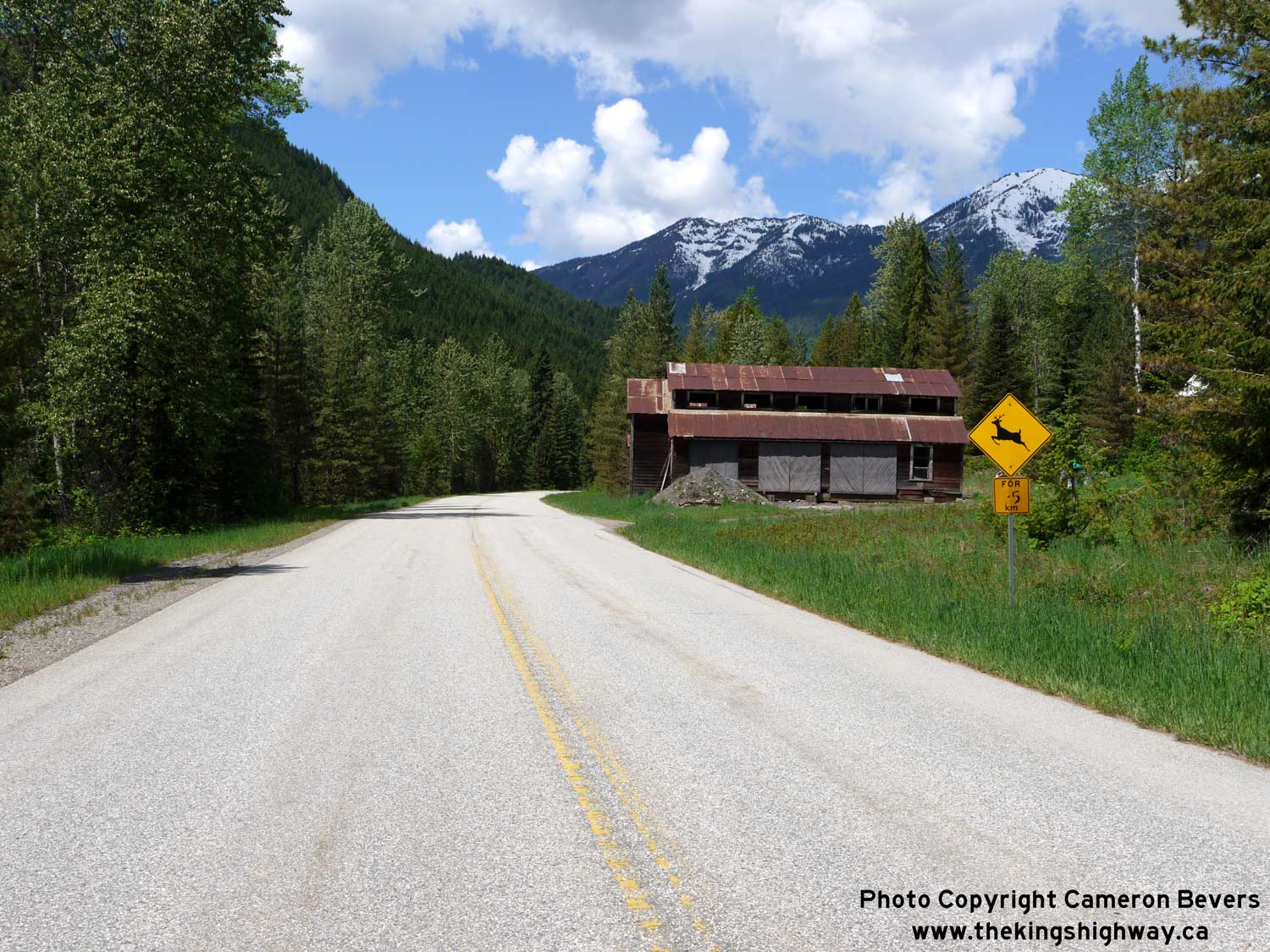

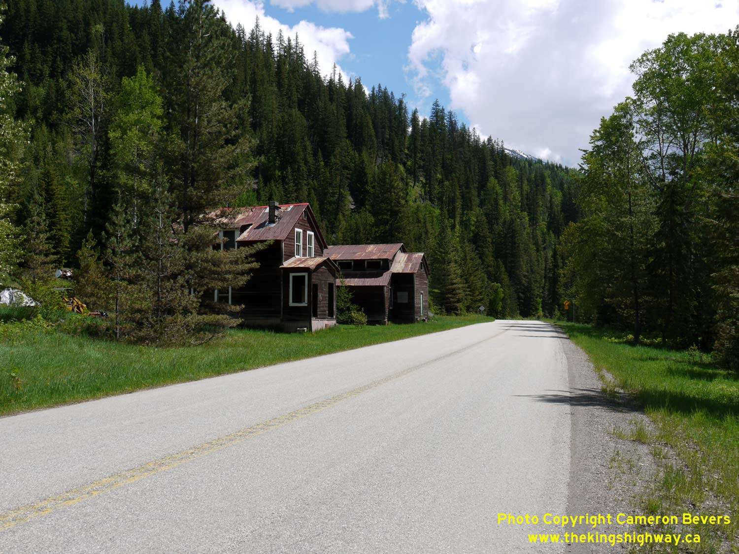
Left - Facing west along Hwy 31A towards New Denver at Retallack. This tiny settlement dates from the mining boom of the 1890s, and is essentially a ghost town
today. See an Enlarged Photo Here. (Photograph taken on June 5, 2017 - © Cameron Bevers) Right - Approaching Retallack on Hwy 31A, facing east. The majestic snow-covered peak of Mount Jardine rises over the lush valley forests along Hwy 31A. See an Enlarged Photo Here. (Photograph taken on June 5, 2017 - © Cameron Bevers) 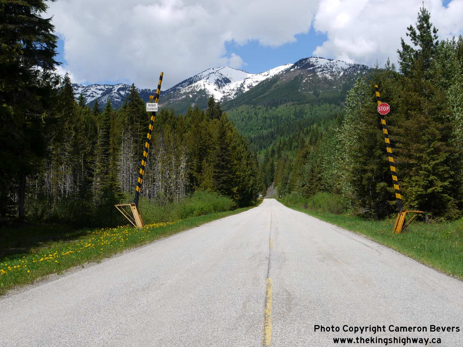

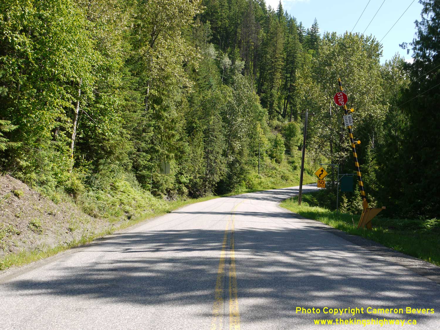
Left - Avalanche closure gates on Hwy 31A, about 1 km west of Retallack. See an
Enlarged Photo Here. (Photograph taken on June 5, 2017 - © Cameron Bevers) Right - Facing east along Hwy 31A from the Fish Lake Roadside Park, located about 29 km west of Kaslo. Hwy 31A quickly begins its descent from the pass summit towards Kaslo beyond the park. The highway drops about 1,600 feet in elevation before reaching Kaslo. See an Enlarged Photo Here. (Photograph taken on June 5, 2017 - © Cameron Bevers) 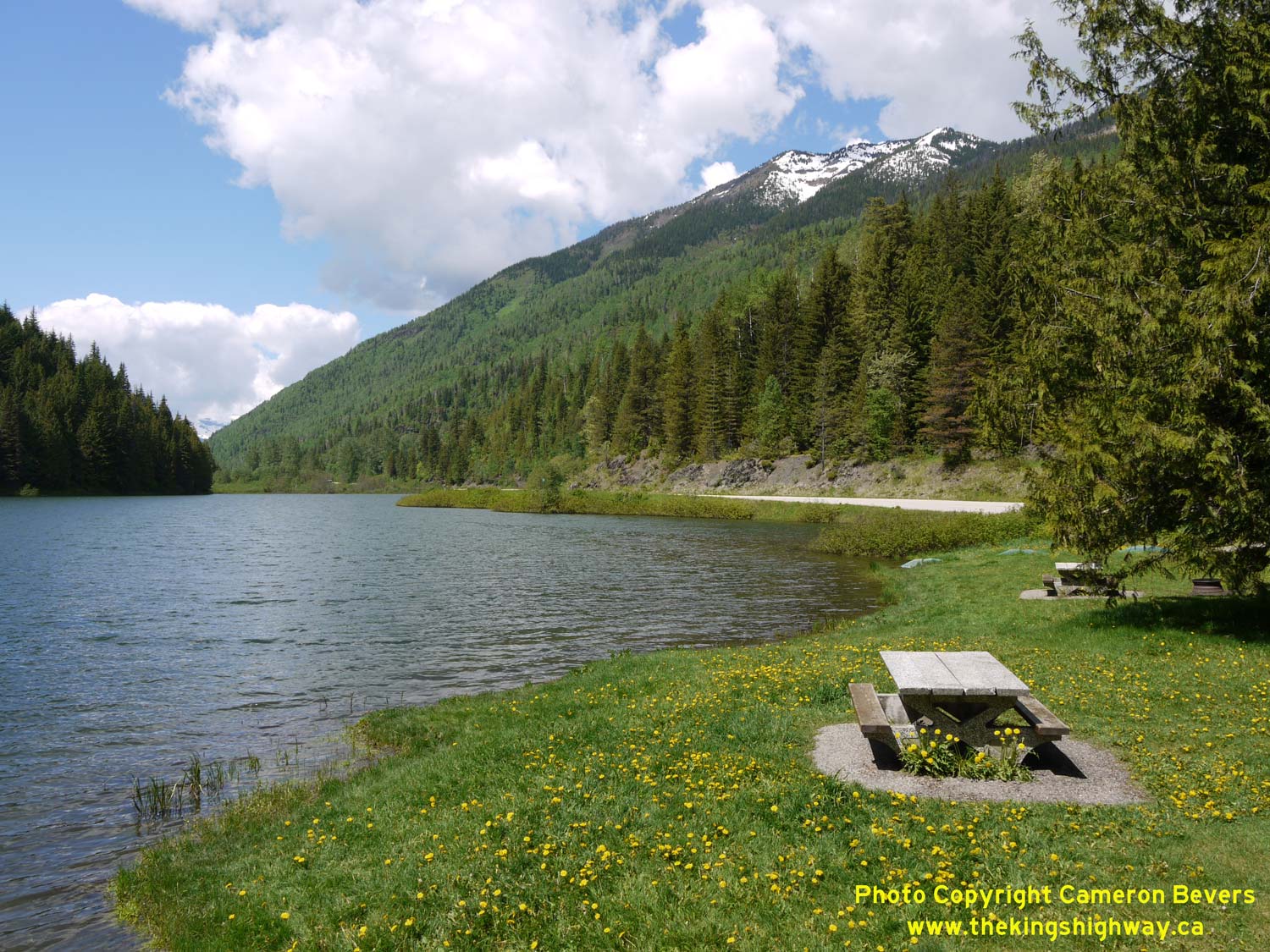

Left - View of Fish Lake from the roadside park beside Hwy 31A west of Kaslo. See an
Enlarged Photo Here. (Photograph taken on June 5, 2017 - © Cameron Bevers) Right - Facing east along Hwy 31A towards Kaslo at the Fish Lake Roadside Park. See an Enlarged Photo Here. (Photograph taken on June 5, 2017 - © Cameron Bevers) 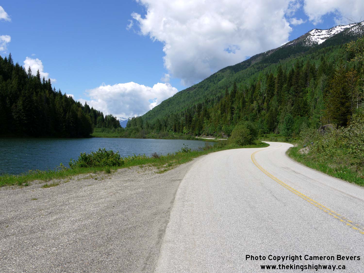
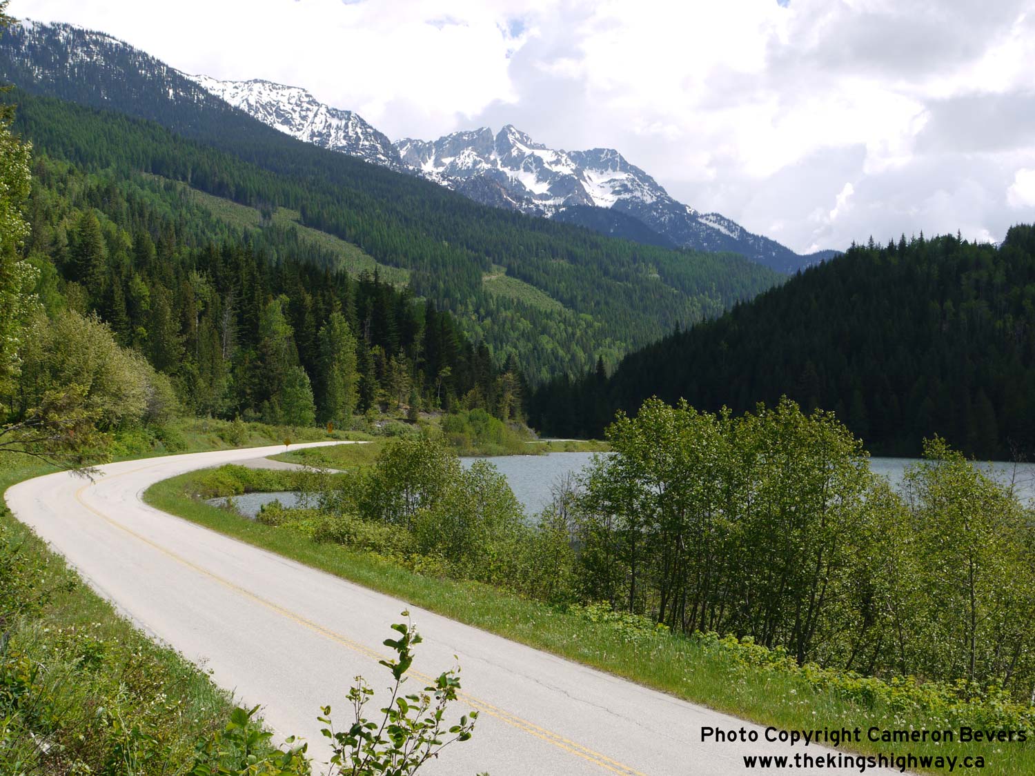
Left - Fish Lake is one of two small alpine lakes located beside Hwy 31A at the summit west of Kaslo. The other, Bear Lake, lies about 1 km ahead. See an
Enlarged Photo Here. (Photograph taken on June 5, 2017 - © Cameron Bevers) Right - Facing east along Hwy 31A towards Kaslo at Fish Lake. Mount Brennan can be seen in the distance. See an Enlarged Photo Here. (Photograph taken on June 5, 2017 - © Cameron Bevers) 
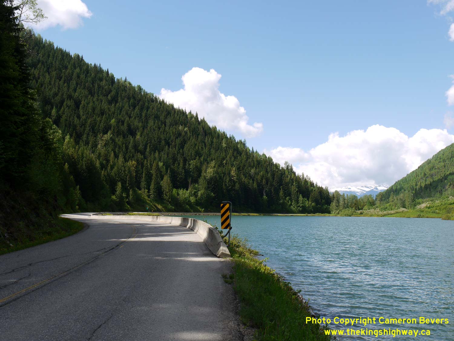
Left - Facing east along Hwy 31A towards Kaslo from the eastern end of Bear Lake. See an
Enlarged Photo Here. (Photograph taken on June 5, 2017 - © Cameron Bevers) Right - Hwy 31A rounds Bear Lake at the summit between New Denver and Kaslo. See an Enlarged Photo Here. (Photograph taken on June 5, 2017 - © Cameron Bevers) 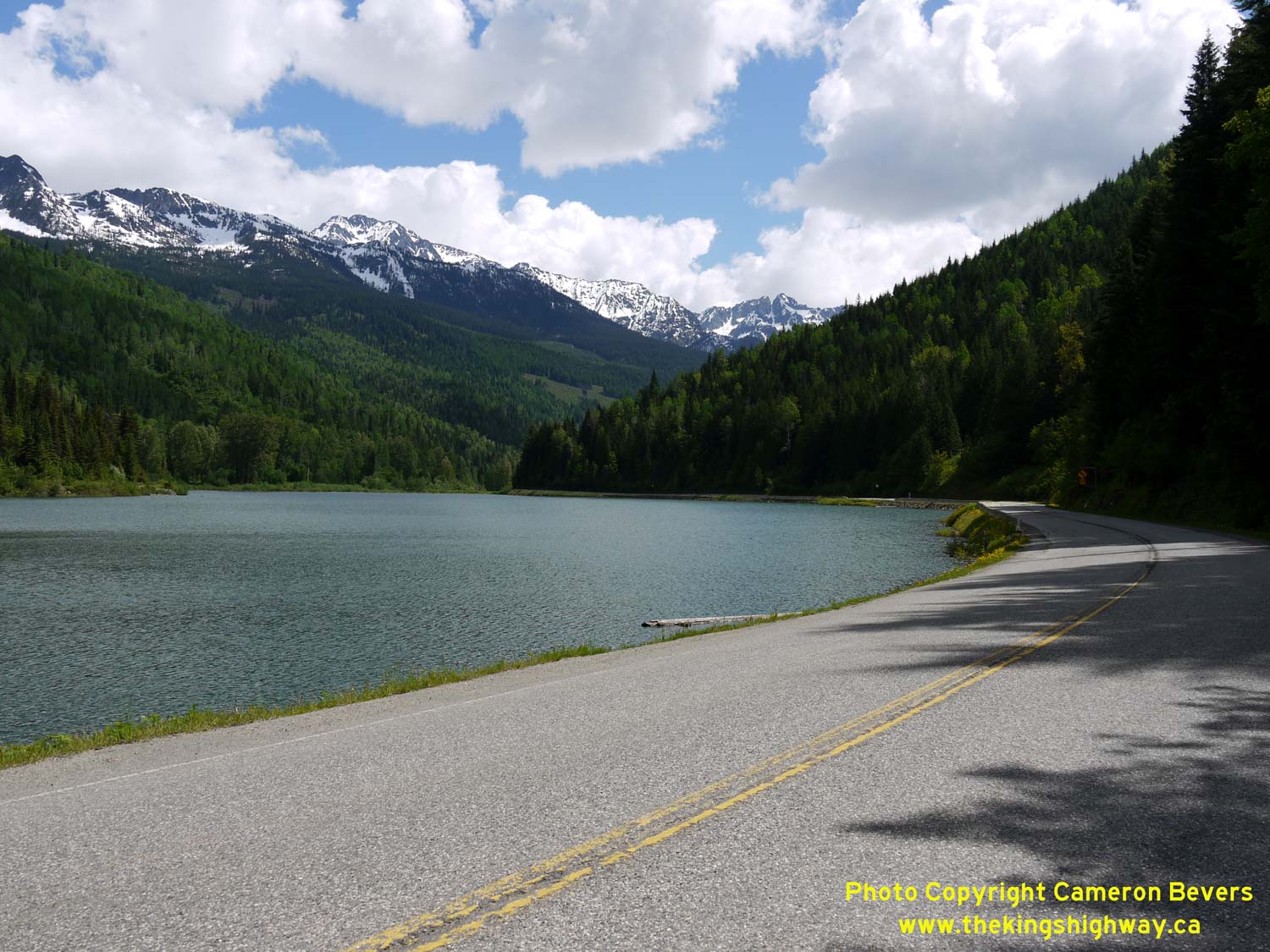
Left - Facing east along Hwy 31A along the shores of Bear Lake. See an
Enlarged Photo Here. (Photograph taken on June 5, 2017 - © Cameron Bevers) Right - As Hwy 31A crests through the pass between New Denver and Kaslo, Whitewater Mountain and Mount Brennan both appear on the horizon. See an Enlarged Photo Here. (Photograph taken on June 5, 2017 - © Cameron Bevers) 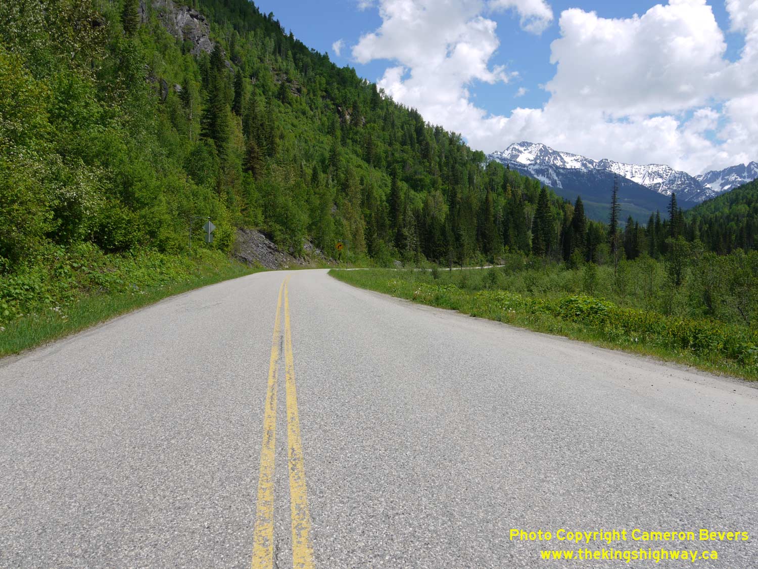
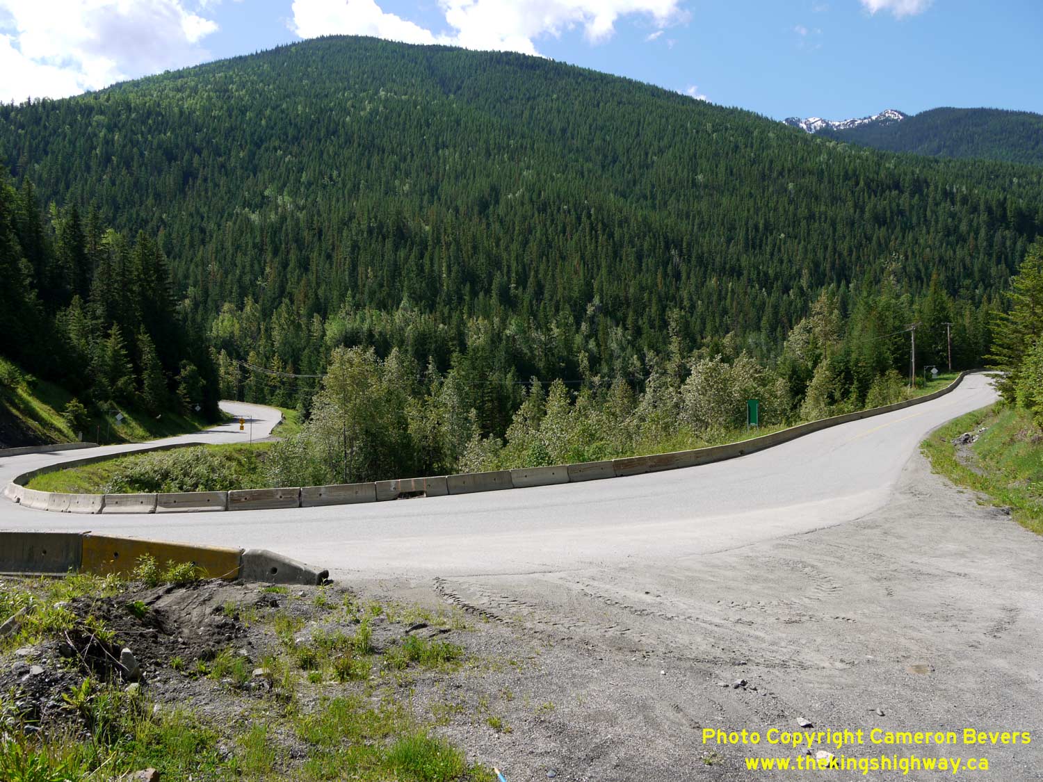
Left - Approaching the summit between New Denver and Kaslo, facing east. The Hwy 31A summit lies at approximately 1,085 metres (3,560 feet) above Sea Level.
See an Enlarged Photo Here. (Photograph taken on June 5, 2017 - © Cameron Bevers) Right - Hwy 31A winds its way quickly down from pass, about 13 km east of New Denver. See an Enlarged Photo Here. (Photograph taken on June 5, 2017 - © Cameron Bevers) 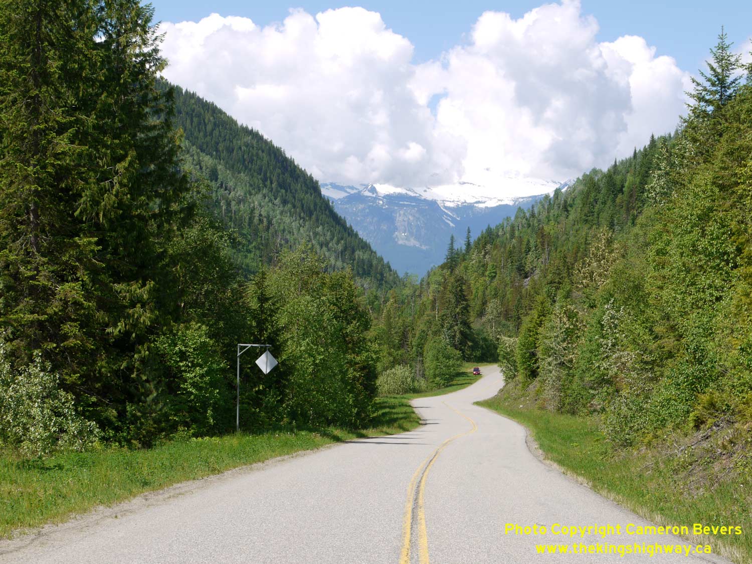

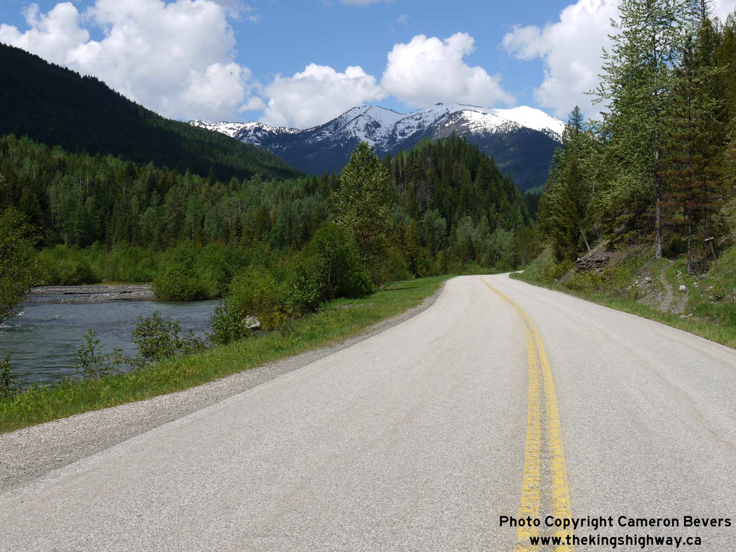
Left - Facing west along Hwy 31A towards New Denver, about 35 km west of Kaslo. See an
Enlarged Photo Here. (Photograph taken on June 5, 2017 - © Cameron Bevers) Right - Facing east along Hwy 31A towards Kaslo, about 12 km east of New Denver. See an Enlarged Photo Here. (Photograph taken on June 5, 2017 - © Cameron Bevers) 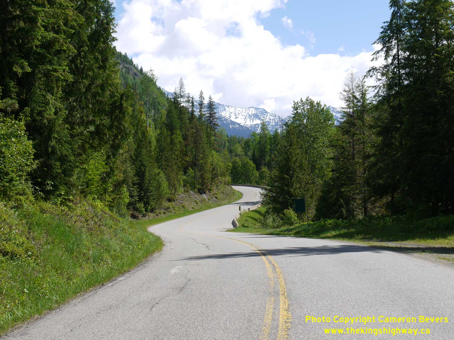

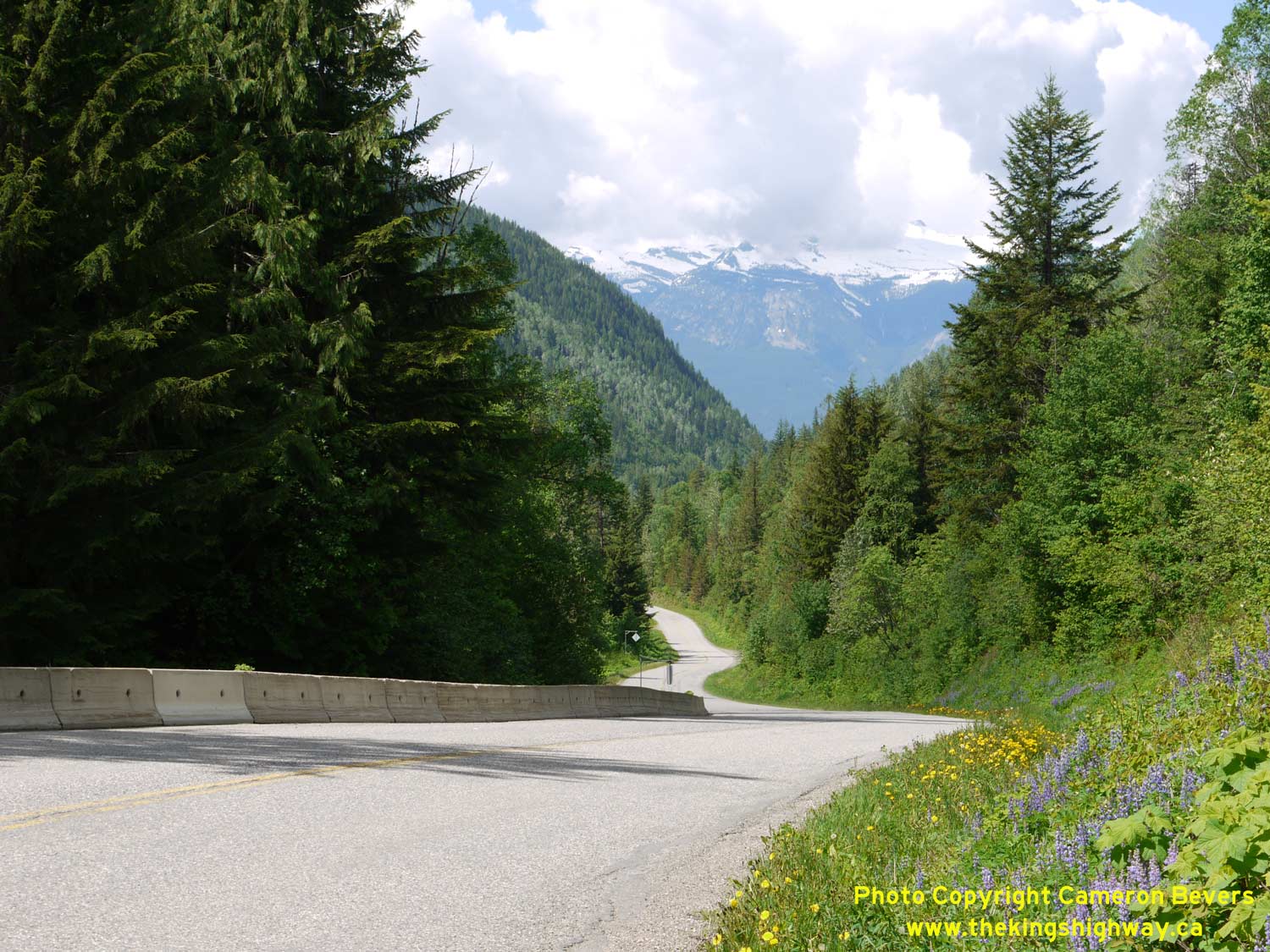
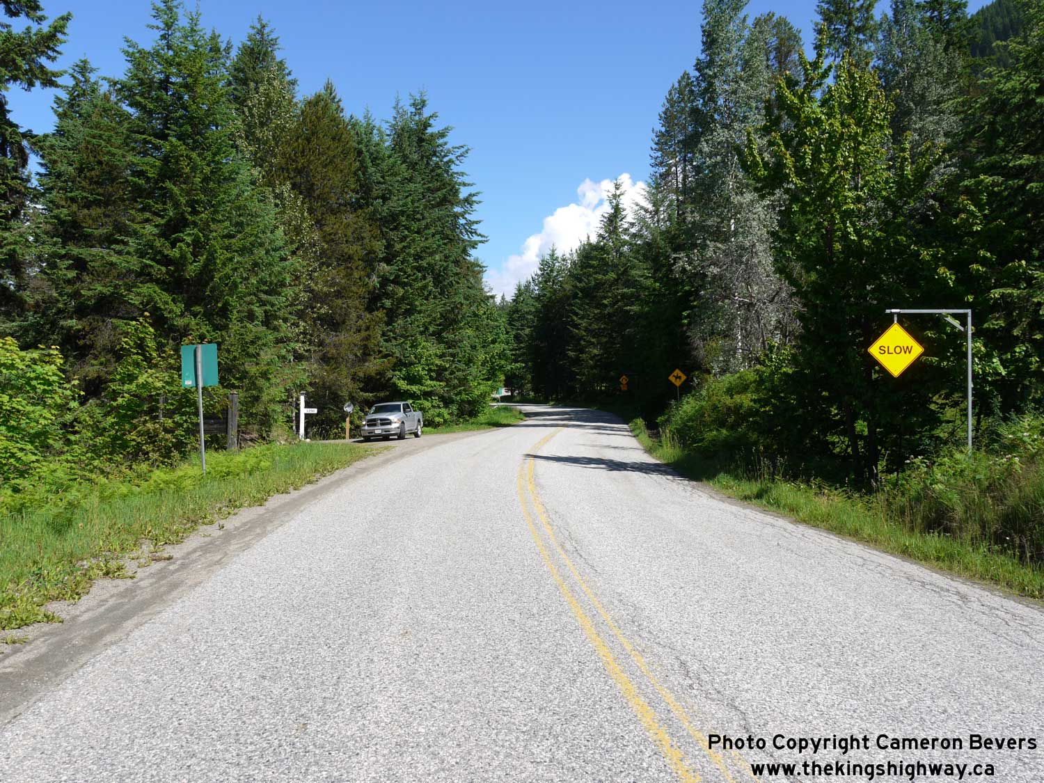
Left - Another winding section of Hwy 31A, about 11 km east of New Denver. Although it is only about 50 km between Kaslo and New Denver, it is not a quick
journey. Motorists should allow 1 hour driving time to fully traverse the route. See an
Enlarged Photo Here. (Photograph taken on June 5, 2017 - © Cameron Bevers) Right - Avalanche closure gates on Hwy 31A, about 9 km east of New Denver. See an Enlarged Photo Here. (Photograph taken on June 5, 2017 - © Cameron Bevers) 

Left - Facing west along Hwy 31A approaching Sandon Road, about 8 km east of New Denver. See an
Enlarged Photo Here. (Photograph taken on June 5, 2017 - © Cameron Bevers) Right - Facing west along Hwy 31A towards New Denver from Sandon Road. Sandon is located south of Hwy 31A. The community has many old buildings which date from the mining era of the 1890s. In the background, Hwy 31A can be seen winding its way west towards New Denver. See an Enlarged Photo Here. (Photograph taken on June 5, 2017 - © Cameron Bevers) 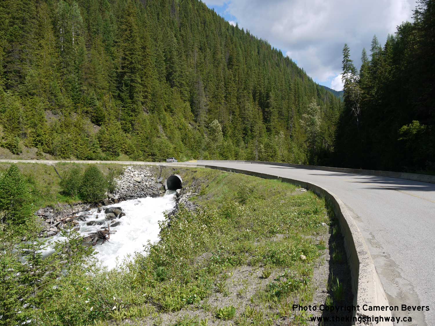
Left - A tributary to Carpenter Creek passes through a large culvert below Hwy 31A east of New Denver. See an
Enlarged Photo Here. (Photograph taken on June 5, 2017 - © Cameron Bevers) Right - Hairpin turn on Hwy 31A, about 7 km east of New Denver. See an Enlarged Photo Here. (Photograph taken on June 5, 2017 - © Cameron Bevers) 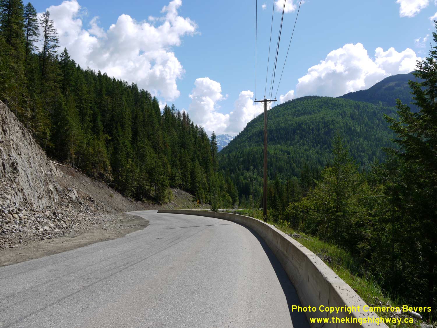
Left - The snow-capped peaks of the Goat Range begin to appear in the distance as Hwy 31A winds its way east towards Kaslo. See an
Enlarged Photo Here. (Photograph taken on June 5, 2017 - © Cameron Bevers) Right - Avalanche closure gate on Hwy 31A, about 3 km east of New Denver. See an Enlarged Photo Here. (Photograph taken on June 5, 2017 - © Cameron Bevers) 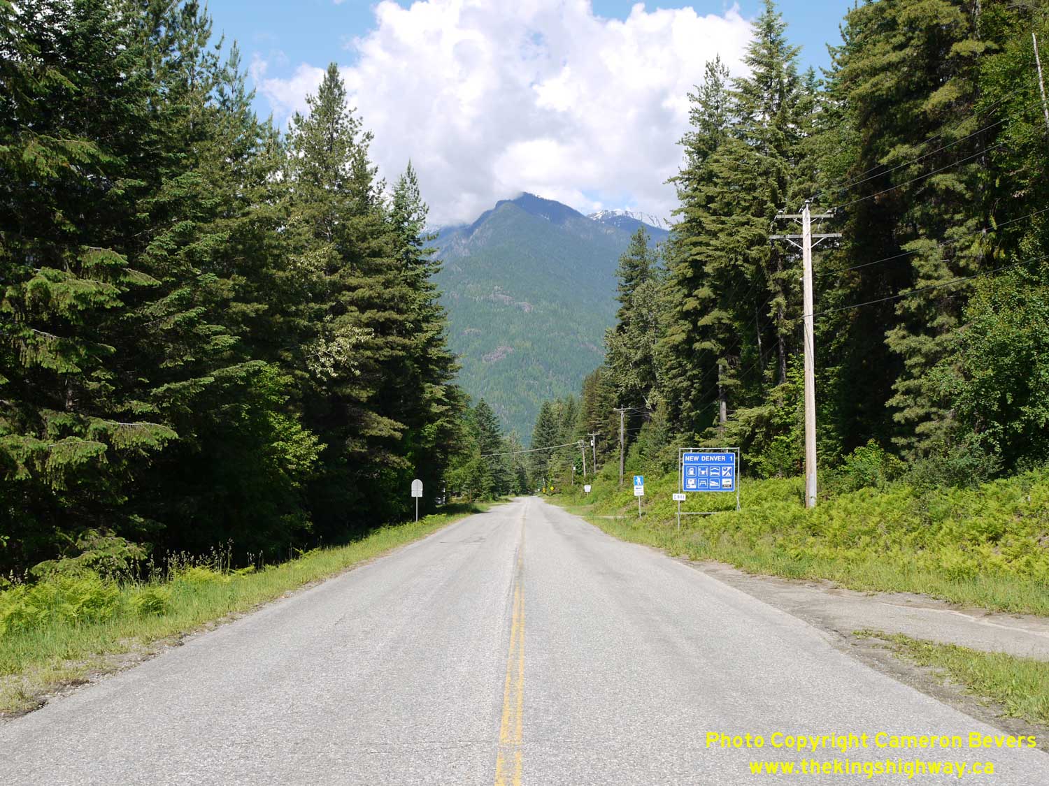
Left - Approaching New Denver on Hwy 31A, facing west. See an
Enlarged Photo Here. (Photograph taken on June 5, 2017 - © Cameron Bevers) Right - Hwy 31A climbs quickly into the mountains as it departs from New Denver. See an Enlarged Photo Here. (Photograph taken on June 5, 2017 - © Cameron Bevers) 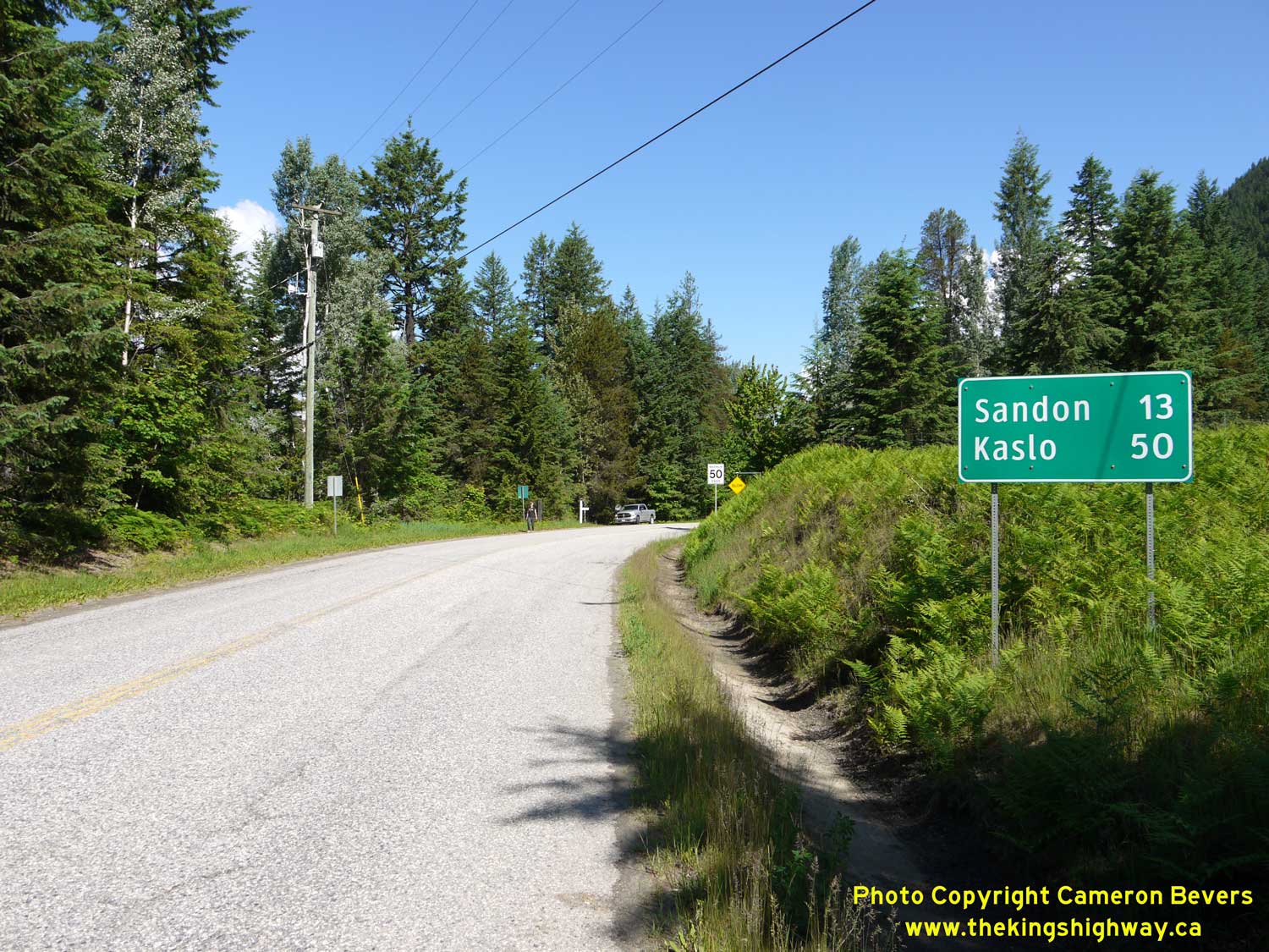
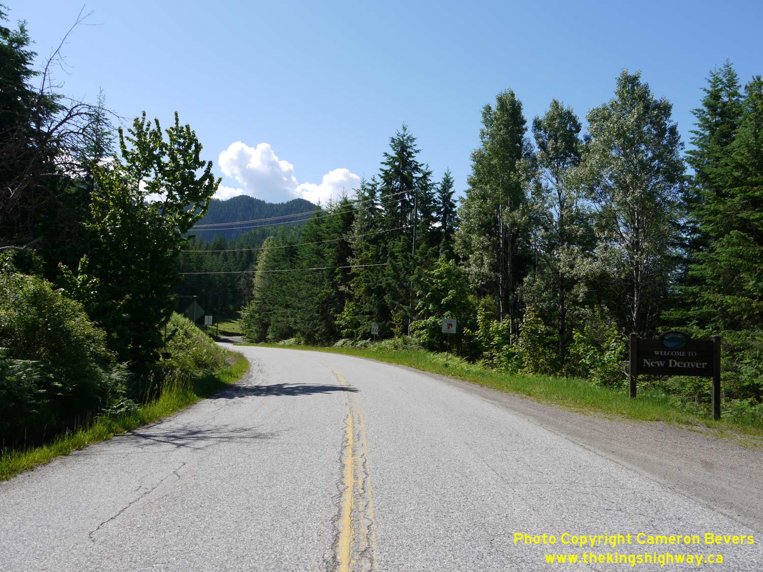
Left - Distance guide sign on eastbound Hwy 31A departing New Denver. See an
Enlarged Photo Here. (Photograph taken on June 5, 2017 - © Cameron Bevers) Right - Sign marking the entrance to New Denver on westbound Hwy 31A. See an Enlarged Photo Here. (Photograph taken on June 5, 2017 - © Cameron Bevers) 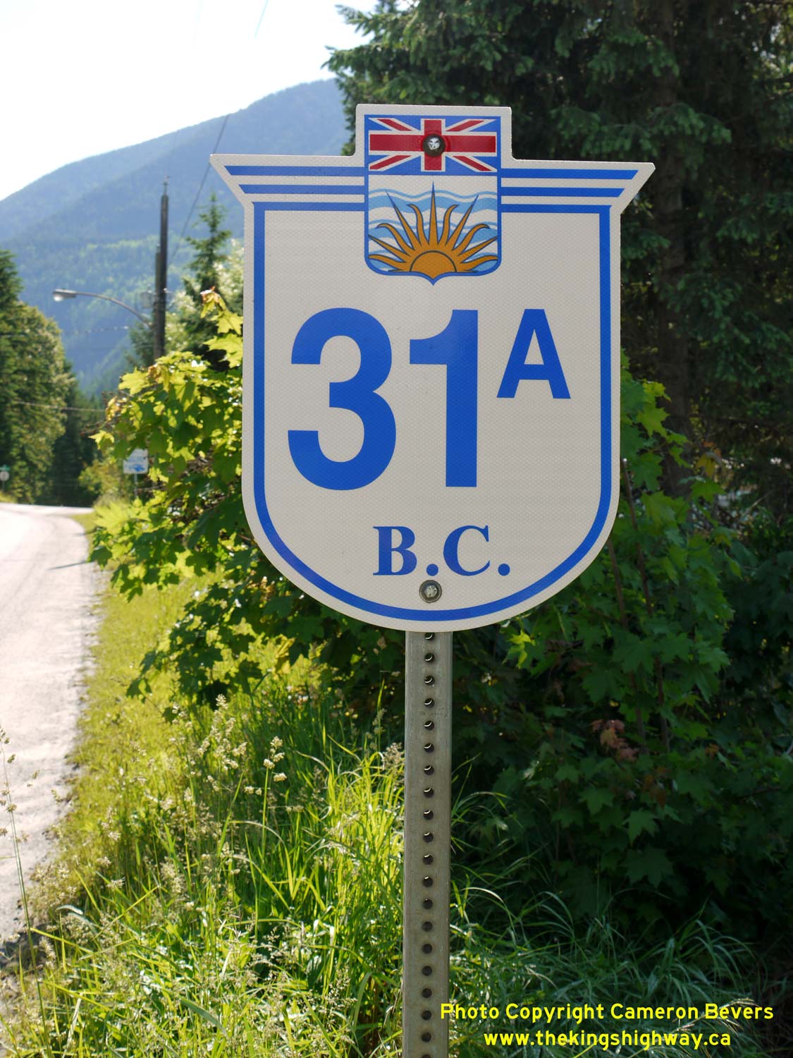
Above - A newer British Columbia Hwy 31A route marker in New Denver. See an
Enlarged Photo Here. (Photograph taken on June 5, 2017 - © Cameron Bevers) 

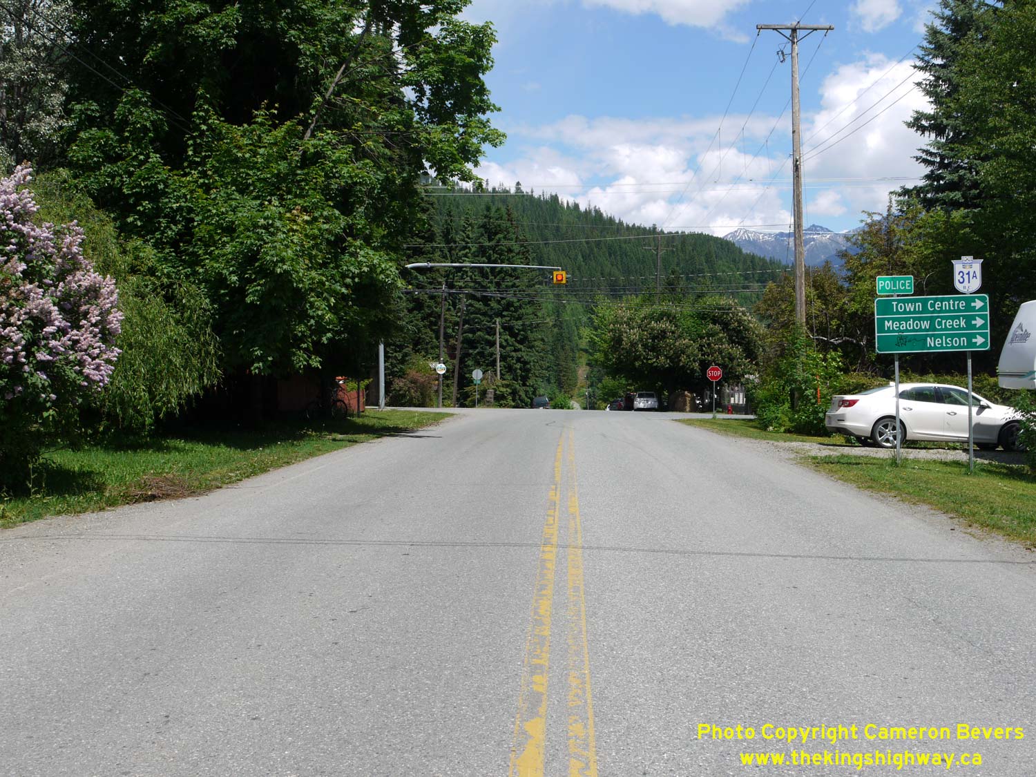
Left - Facing south along Hwy 6 towards Nelson from the Hwy 31A Junction in New Denver. See an
Enlarged Photo Here. (Photograph taken on June 5, 2017 - © Cameron Bevers) Right - Approaching the Hwy 31A Junction on Hwy 6 in New Denver, facing north. Hwy 31A crosses over the Goat Range and connects to Hwy 31 in Kaslo, on the other side of the mountains. Hwy 31A is an essential alternate route to Hwy 31 in the winter months, as a significant section of Hwy 31 is not kept open between Kaslo and Galena Bay. See an Enlarged Photo Here. (Photograph taken on June 5, 2017 - © Cameron Bevers) 

Left - Facing north along Hwy 6 towards the Hwy 31A Junction in New Denver. See an
Enlarged Photo Here. (Photograph taken on June 5, 2017 - © Cameron Bevers) Right - Hwy 6 & Hwy 31A route marker assembly in New Denver, facing northbound traffic. The Historic Mining Route follows Hwy 31A up into the Goat Range, where it passes the sites of several historical mining towns. A significant mining boom took place in the New Denver and Kaslo areas during the 1890s. See an Enlarged Photo Here. (Photograph taken on June 5, 2017 - © Cameron Bevers) 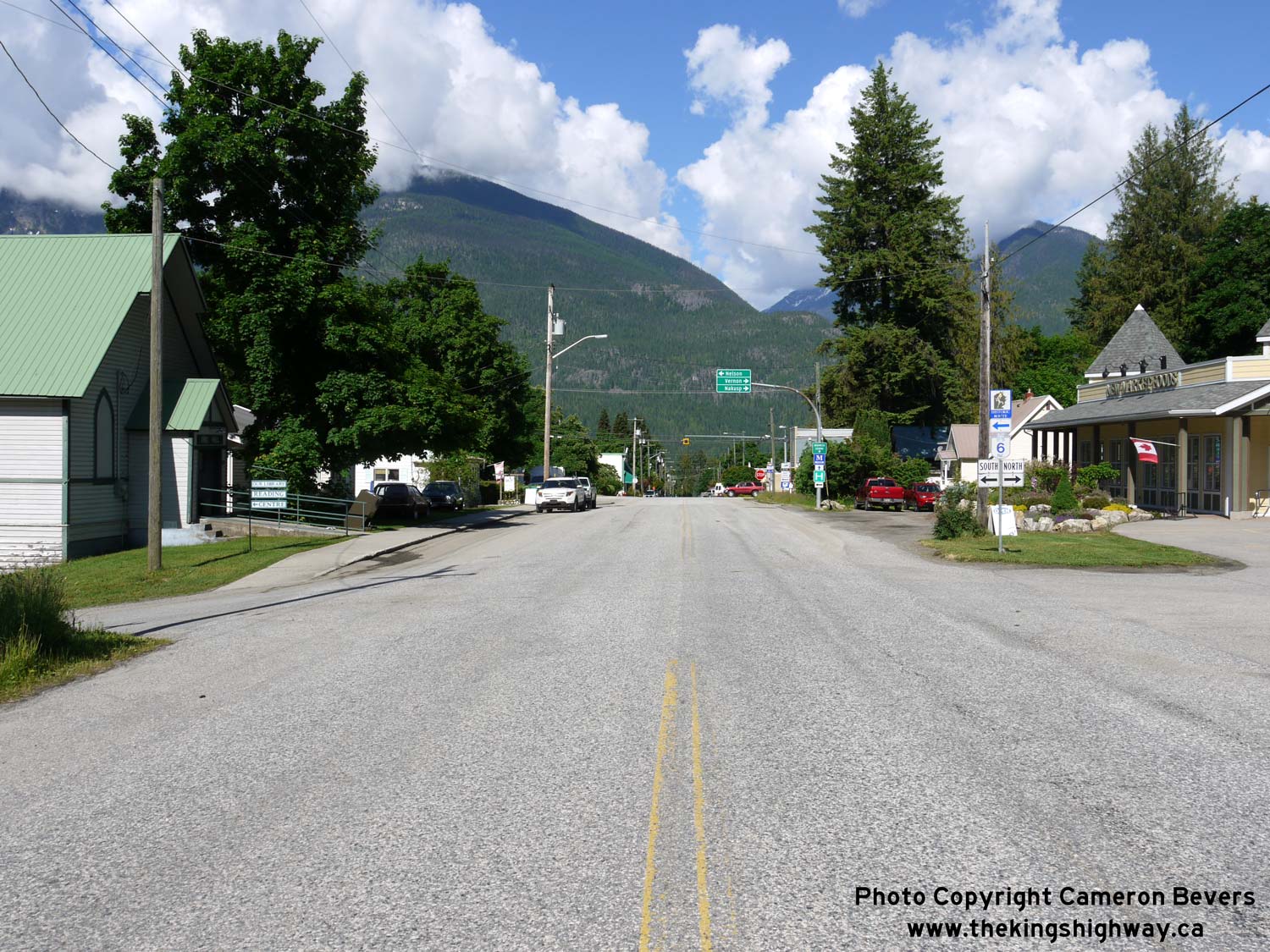

Left - Approaching the western terminus of Hwy 31A at the Hwy 6 Junction in New Denver. Traffic can either turn right along Hwy 6 North towards Nakusp or Hwy 6
South towards Nelson, or continue west for a few blocks via 6th Avenue into the historic New Denver Town Centre. See an
Enlarged Photo Here. (Photograph taken on June 5, 2017 - © Cameron Bevers) Right - Facing east along Hwy 31A towards Kaslo from the Hwy 6 Junction in New Denver. See an Enlarged Photo Here. (Photograph taken on June 5, 2017 - © Cameron Bevers) 

Left - Facing south along Hwy 6 towards the Hwy 31A Junction in New Denver. See an
Enlarged Photo Here. (Photograph taken on June 5, 2017 - © Cameron Bevers) Right - Facing north along Hwy 6 towards Nakusp from the Hwy 31A Junction in New Denver. See an Enlarged Photo Here. (Photograph taken on June 5, 2017 - © Cameron Bevers) |
|---|
Links to Adjacent BC Highway Photograph Pages:
Back to BC Highway 31 Photos /
British Columbia Highways Photo Index /
On to BC Highway 33 Photos
Ontario Highway History - Main Menu / Vacation Highway Photos - Main Menu Website contents, photos & text © 2002-2026, Cameron
Bevers (Webmaster) - All Rights Reserved / Contact Me
|
|---|