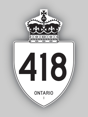
History of King's Highway 418:
This new freeway connects Highway 401 to Highway 407 (Toll) in Clarington. After being referred to as the "East Durham Link" for
many years during planning, the Ontario Ministry of Transportation formally announced their decision to number the new freeway as Highway 418 on February 5, 2015.
Unlike the Highway 407 Express Toll Route (ETR), Highway 418 will be a publicly-owned toll highway. Highway 418 forms a north-south link between Highway 401 and
Highway 407 (Toll) between Oshawa and Clarington. Construction work began on Highway 418 in 2016. The completed highway was officially opened to traffic between
Highway 401 and Highway 407 (Toll) on December 9, 2019, although the ramp connections from Taunton Road to Highway 407 (Toll) had been opened to traffic as an
interim measure in 2017. The new freeway is about 10 km in length. Tolls were permanently discontinued on Highway 418 effective April 5, 2022.
|