| 
| |
|
|
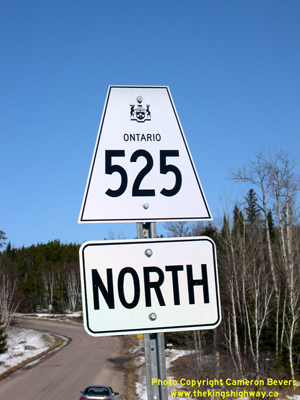
History of Secondary Highway 525 (#2):
Another Secondary Highway 525 was established in the early 1980s in the District of Kenora. This highway was created out of a route renumbering, when an existing
section of Highway 596 northwest of Minaki was renumbered as Highway 525. The new Highway 525 route number
came into effect on April 1, 1981. The highway is gravel-surfaced for its entire length. Unless posted otherwise, the speed limit on Highway 525 is 80 km/h (50 mph).
A different, unrelated Highway 525 existed in the Gravenhurst area between 1956 and 1972.
|
|---|
Links to Adjacent Secondary Highway Pages: Website contents, photos & text © 2002-2025, Cameron
Bevers (Webmaster) - All Rights Reserved / Contact Me |
|---|