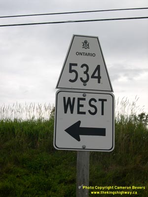
History of Secondary Highway 534:
Secondary Highway 534 is a local highway that links Restoule Provincial Park and the small community of Restoule to Highway 11 in Powassan. Highway 534 was first
depicted on a Preliminary Route Plan dated May 1956, and was designated by an Order-in-Council dated May 9, 1956. The new highway was originally 20 miles (32 km) in
length. The route began at Restoule and headed easterly to Highway 11. The vast majority of the route of Highway 534 was originally gravel-surfaced. Only the first
two miles of the highway from Highway 11 westerly were paved at the time of the route's designation in 1956. Paving operations began on additional sections of
Highway 534 during the 1960s and by the late 1970s, the entire highway was paved.
Initially, Highway 534 and Highway 11 joined together in Downtown Powassan. The eastern terminus of Highway 534 was ultimately relocated to the new route of
Highway 11 a few years after the Powassan Bypass opened to traffic. The old route of Highway 534 via Clark Street between the original route of Highway 11 and the
Powassan Bypass was transferred to the Town of Powassan on April 1, 1962. Other minor revisions were made to the route of Highway 534 over the years in a few
locations. During the late 1970s, the route of Highway 534 was extended westerly from Restoule to the Restoule Provincial Park entrance gate. The extension added
approximately 9 km to the length of Highway 534. A Preliminary Assumption Plan was prepared by the Ministry of Transportation & Communications (MTC) on August 29,
1978, indicating the intention to assume the existing township road to Restoule Provincial Park as part of Highway 534. The plan was registered on October 2, 1978,
and the extension of Highway 534 was formally designated as a Secondary Highway by an Order-in-Council, effective November 29, 1978. Unless posted otherwise, the
speed limit on Highway 534 is 80 km/h (50 mph). Services are available in Restoule, at the Highway 654 Junction and in Powassan.
|