History of Secondary Highway 542A:
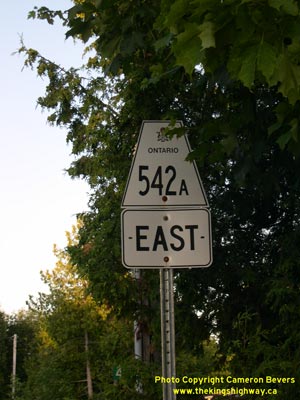
Secondary Highway 542A is a local highway that connects Tehkummah to Highway 542 on Manitoulin Island. The road which ultimately became Secondary Highway 542A was
first designated by an Order-in-Council dated May 9, 1956. However, it is believed that this short spur was originally signed as Highway 542, not Highway 542A. The
highway was given its own suffixed route number at some point after 1956, but the exact year is not known. The route number of Highway 542A first appeared on the 1963
edition of the Official Ontario Road Map. The highway was gravel-surfaced right up until the 1980s, when the highway was paved. Unless posted otherwise, the speed
limit on Highway 542A is 80 km/h (50 mph). Services are available in Tehkummah.
|