| 
| |
|
|
History of Secondary Highway 547 (#2):
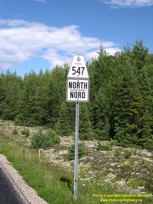
A different Secondary Highway 547 was established in the Wawa area in 1964. This second route of Highway 547 was a local highway that served as an access road
from Highway 101 to Hawk Junction, east of Wawa. The new highway to Hawk Junction was officially designated by an Order-in-Council dated February 27, 1964.
Highway 547 first opened to traffic in 1964, along with a section of Highway 101 which connected Highway 547 to nearby Wawa. The entire length of Highway 547 was
paved in 1965. The route has not changed since it was first constructed in the 1960s. Unless posted otherwise, the speed limit on Highway 547 is 80 km/h (50 mph).
There are no services available on this highway. A different, unrelated Highway 547 existed in the Sudbury
area between 1956 and 1960.
|
|---|
Links to Adjacent Secondary Highway Pages: Website contents, photos & text © 2002-2025, Cameron
Bevers (Webmaster) - All Rights Reserved / Contact Me |
|---|