History of Secondary Highway 554:
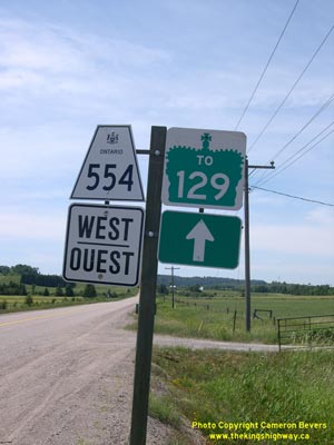
Secondary Highway 554 is a local highway that provides a connection between Highway 546 and Highway 129 in the District of Algoma. Highway 554 was first designated by
an Order-in-Council dated May 9, 1956. The new highway was originally 10.4 miles (17 km) in length. The route began at Highway 546 north of Iron Bridge and headed
northwesterly to join with Highway 129 between Thessalon and Aubrey Falls. The highway was gravel-surfaced at the time of designation in 1956, but the route was
paved in sections between 1974 and 1980. Apart from some minor revisions to the route of Highway 554 in a few locations, the highway has not changed significantly
since 1956. Unless posted otherwise, the speed limit on Highway 554 is 80 km/h (50 mph). There are no services available on this highway.
|