History of Secondary Highway 560A:
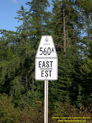
Secondary Highway 560A is a local highway in the District of Sudbury that provides access from Highway 560 to the small community of Westree. Highway 560A was first
depicted on a Preliminary Assumption Plan prepared by the Department of Highways of Ontario (DHO) in July 1957. The route was designated through Garvey Township by
an Order-in-Council dated August 14, 1957 and through Garibaldi Township by an Order-in-Council dated August 21, 1957. Highway 560A has remained more or less the same
ever since the highway was established in 1957. The highway is gravel-surfaced for its entire length. Unless posted otherwise, the speed limit on Highway 560A is
80 km/h (50 mph). There are no services available on this highway.
|