History of Secondary Highway 573:
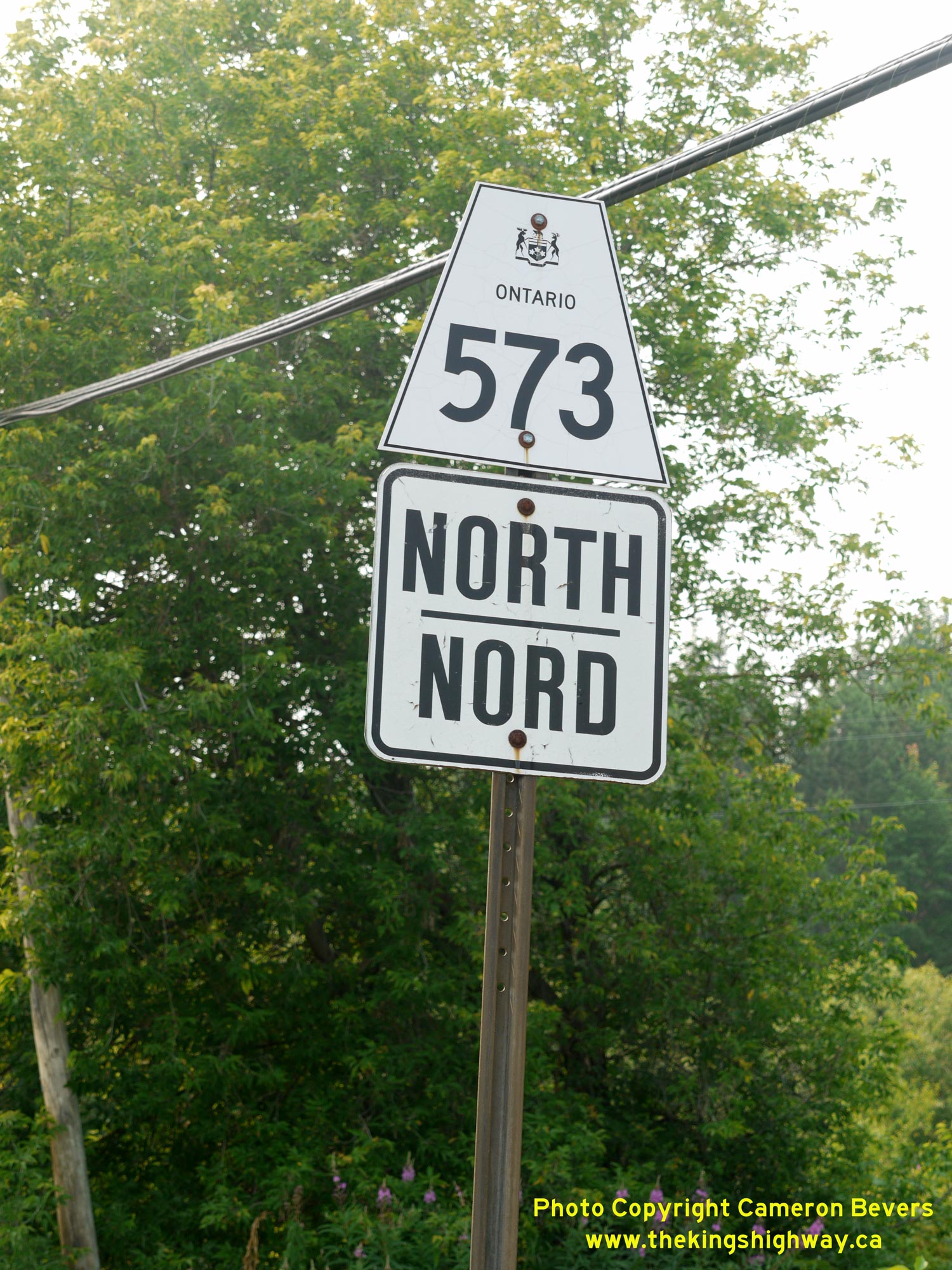
Secondary Highway 573 is a local highway in the District of Timiskaming that provides access between Highway 560 and Highway 11, via Charlton. Highway 573 was first
designated by an Order-in-Council dated May 9, 1956. The route was first depicted on a Preliminary Route Plan prepared by the Department of Highways of Ontario (DHO)
in June 1956. The new highway was 12.0 miles (19.3 km) in length. The highway was gravel-surfaced at the time of designation in 1956, but a bituminous surface
treatment was applied along the entire length of Highway 573 during 1957. The route of Highway 573 remained more or less unchanged until 1990, when a new bypass was
constructed around the Town of Charlton. Up until 1990, Highway 560 followed a rather circuitous route through Charlton, via Main Street, Church Street, Robert Street,
Bay Street, Richard Street and Concession Street. The new diversion allowed through traffic on Highway 560 to bypass Charlton altogether. When the new Highway 560
Bypass opened to traffic, Highway 573 was extended east along Bay Street from its former junction with Highway 560 in the town centre out to the new Highway 560
Bypass. Highway 573 is paved for its entire length. Unless posted otherwise, the speed limit on Highway 573 is 80 km/h (50 mph). Services are available in
Charlton.
|