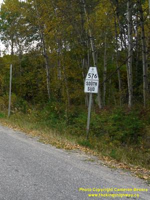
History of Secondary Highway 576:
Secondary Highway 576 was a local highway in the District of Cochrane that provided access to the Kam-Kotia Mine lying to the northwest of Timmins. Highway 576 was
first designated by an Order-in-Council dated May 9, 1956. The route was first depicted on a Preliminary Route Plan prepared by the Department of Highways of Ontario
(DHO) in June 1956. The new highway was originally 2 miles (3.2 km) in length. Initially, Highway 576 began at the Highway 101 Junction west of Timmins and headed
northwesterly where it ended at the Waterhen Creek Bridge. The highway was gravel-surfaced at the time of designation in 1956.
A significant extension was made to the route of Highway 576 during the 1960s. On June 4, 1964, a Preliminary Assumption Plan was prepared by the DHO which showed the
proposed assumption of the Kamiskotia Road, which extended northwest for approximately 13 miles from the end of Highway 576 at Waterhen Creek to the Kam-Kotia Mine.
The plan was registered on June 30, 1964 and the extension was formally designated as Highway 576 by an Order-in-Council, effective August 20, 1964. Highway 576 was
paved in its entirety in 1967. Apart from some minor revisions to the route of Highway 576 in a few locations, the highway did not change significantly again until
the late 1990s. On March 31, 1997, ownership of Highway 576 was transferred from the province to the City of Timmins. Since 1997, Former Highway 576 has been known as
Kamiskotia Road. Unless posted otherwise, the speed limit on Highway 576 is 80 km/h (50 mph). There are no services available along Highway 576, but services are
available on Highway 101 in nearby Timmins.
|