History of Secondary Highway 609:
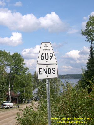
Secondary Highway 609 is a local highway in the District of Kenora that provides access from Highway 105 to Clay Lake and the small community of Quibell, located
northeast of Kenora. Highway 609 was first depicted on a Preliminary Route Plan prepared by the Department of Highways of Ontario (DHO) in May 1956, and was
designated by an Order-in-Council dated May 9, 1956. The new highway extended northwest from Highway 105 along the Quibell and Clay Lake Road for approximately 10
miles (16 km) to Clay Lake. Highway 609 was originally gravel-surfaced for its entire length, but the highway was paved from Highway 105 to a point about 1 km north
of Quibell in 1978. The balance of the highway is still gravel-surfaced today. The route of Highway 609 has remained more or less unchanged since the route was first
established in the 1950s. Unless posted otherwise, the speed limit on Highway 609 is 80 km/h (50 mph). There are no services available on this highway.
|