| 
| |
|
|
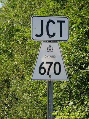
History of Secondary Highway 670:
Secondary Highway 670 is a local highway in the District of Algoma that connects the tiny community of Dunns Valley to Highway 638 at Ophir, located east of Sault
Ste. Marie. Highway 670 was created out of a route renumbering in 1989. Up until 1989, Highway 638 formed one continuous route between Echo Bay and Dunns Valley, via
Ophir. The Ministry of Transportation of Ontario (MTO) decided to renumber Highway 561 between Ophir and
Bruce Mines as Highway 638. The bypassed section of former Highway 638 that ran between Ophir and Dunns Valley was renumbered as Highway 670. The highway is paved
from Ophir easterly for about 5 km to Bussineau Road, while the balance of the highway to Dunns Valley is gravel-surfaced. Unless posted otherwise, the speed limit on
Highway 670 is 80 km/h (50 mph). There are no services available on this highway.
|
|---|
Links to Adjacent Secondary Highway Pages: Website contents, photos & text © 2002-2025, Cameron
Bevers (Webmaster) - All Rights Reserved / Contact Me |
|---|