| 
| |
|
|
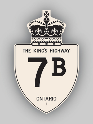
History of King's Highway 7B (Kitchener):
This very short-lived business route was created in 1973 when a new Highway 7 corridor was completed between Fischer Road in Kitchener and Baden. The old routing of
Highway 7 along Courtland Avenue, Queen Street, Highland Road, Snyder's Road and Gingerich Road became Highway 7B. The route ran concurrently with
Highway 8B for its entire length. The route lasted only two years, and was decommissioned during
1975. Urban sections of the route were already under jurisdiction of the City of Kitchener, as these sections of the highway were not assumed by the province.
However, the balance of the highway from Fischer Road westerly to Baden were transferred to the Regional Municipality of Waterloo, effective October 7, 1975. 
 |
|---|
Links to Adjacent King's Highway Pages: 


Website contents, photos & text © 2002-2025, Cameron
Bevers (Webmaster) - All Rights Reserved / Contact Me |
|---|