Hwy 7B Hwy 7B Madoc Hwy 7B   

Ontario Highway 7B (Madoc) Quick Facts:
  • Years in Existence: 1967-1970
  • Current Status: Decommissioned
  • Current Names: St. Lawrence Street
  • Location: Central Ontario
  • Counties Served: Hastings
  • Towns Served: Madoc
  • Western Terminus: Hwy 7 - Madoc
  • Eastern Terminus: Hwy 7 - Madoc
  • Length: Unknown
HWY 7B - © Cameron Bevers
King's Highway 7B Sign © Cameron Bevers

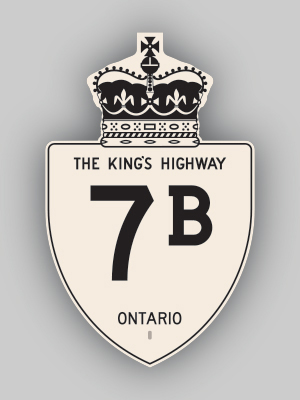
History of King's Highway 7B (Madoc):

This short Business Route was established in 1967, when a new Highway 7 Bypass was opened just to the north of Madoc. The old alignment through downtown via St. Lawrence Street became Highway 7B. The entire route was decommissioned in 1970.


HWY 7B MADOC ROUTE MAP - © Cameron Bevers             HWY 7B MADOC PHOTOGRAPHS - © Cameron Bevers


Additional Information About King's Highway 7B:

Learn More About King's Highway 7B  (My Upcoming Publications)


BACK TO HWY 7B THORNHILL - © Cameron Bevers             BACK TO MAIN MENU - © Cameron Bevers             ON TO HWY 7B KITCHENER - © Cameron Bevers


Website contents, photos & text © 2002-2012, Cameron Bevers (Webmaster) - All Rights Reserved  /  Contact Me


Valid HTML 4.01!   Valid CSS!