
| 
| |
|
|
This page contains present day photos (Year 2000 to date) of Ontario's King's Highway 12, arranged by location from Beaverton
northerly to Orillia. All photographs displayed on this page were taken by the Webmaster (Cameron Bevers), unless specifically noted otherwise. Click on any
thumbnail to see a larger image!
Please note that all photographs displayed on this
website are protected by copyright. These photographs must not be reproduced, published,
electronically stored or copied, distributed, or posted onto other websites without
my written permission. If you want to use photos from this website, please
email me first for permission. Thank-you!
|
|---|
|
Page 6: Present Day King's Highway 12 Photographs (Beaverton to Orillia)


Left - Facing south along Hwy 12 & Hwy 48 from the Beaver River Bridge in Beaverton. Note the long queue of northbound traffic approaching the traffic
signals at nearby Durham Road 15. This highway does experience congestion on summer weekends, as it is a popular "cottage country" route which serves the eastern side
of Lake Simcoe. This section of the highway is part of the Beaverton Bypass, which was completed and officially opened to traffic between the present day Hwy 48 South
Junction and the intersection at Durham Road 23 (Mara Road) on November 4, 1966. Until recently, Hwy 12 & Hwy 48 shared a well-signed, overlapped route along the
Beaverton Bypass. All references to Hwy 48 were removed from the highway in 2004, so it is now signed as Hwy 12 only. See an
Enlarged Photo Here. (Photograph taken on August 4, 2006 - © Cameron Bevers) Right - Beaver River Bridge on Hwy 12 & Hwy 48, facing south towards Whitby. See an Enlarged Photo Here. (Photograph taken on August 4, 2006 - © Cameron Bevers) 

Left - Western side of the Beaver River Bridge on Hwy 12 & Hwy 48 in Beaverton. This three-span post-tensioned concrete bridge was completed in 1965. The
introduction of post-tensioned concrete bridges in Ontario during the 1960s allowed designers to make use of very shallow bridge decks, when compared to conventional
concrete girder bridges. See an Enlarged Photo Here. (Photograph taken on August 4, 2006 - © Cameron Bevers) Right - Structure identification number and date stamp (1965) on the Beaver River Bridge on Hwy 12 & Hwy 48. See an Enlarged Photo Here. (Photograph taken on August 4, 2006 - © Cameron Bevers) 

Left - Facing north along Hwy 12 & Hwy 48 at the Beaver River Bridge in Beaverton. The signalized intersection with Durham Road 15 can be seen in the
background. See an Enlarged Photo Here. (Photograph taken on August 4, 2006 - © Cameron Bevers) Right - The Beaver River Bridge was replaced in 2006-2007, in order to accommodate intersection capacity improvements at Durham Road 15. See an Enlarged Photo Here. (Photograph taken on August 4, 2006 - © Cameron Bevers) 

Left - Facing north along Hwy 12 & Hwy 48 towards the Durham Road 15 Intersection in Beaverton. Prior to the intersection's reconstruction, there was a
channelized right turn lane with a short acceleration taper from eastbound Durham Road 15 to southbound Hwy 12 & Hwy 48. This right turn channelization was
removed as a result of the intersection reconstruction, in an effort to improve traffic operations. Without a full acceleration lane, a right turn channel can
actually impede traffic flow on the main highway, as slow traffic entering the highway is forced to quickly merge into the adjacent through lane. As originally
designed, this intersection had two northbound and two southbound through lanes. One of the northbound through lanes was later converted to a right turn only lane,
which greatly impacted the capacity of this signalized intersection to serve northbound traffic (hence the long northbound queue seen in earlier photos). The
reconfigured intersection has separate left and right turn lanes and two through lanes in both directions, which has greatly improved traffic operations at the
intersection. See an Enlarged Photo Here. (Photograph taken on August 4, 2006 - © Cameron Bevers) Right - Facing north along Hwy 12 & Hwy 48 from the Durham Road 15 Intersection in Beaverton. As part of the intersection improvements, median islands were constructed approaching the intersection. Prior to reconstruction, the secondary traffic signal pole was located on the left-hand side of the highway, as seen in this photo. Median-mounted secondary signal poles are strongly preferred on wide highways with more than four lanes, as the signal heads are placed directly in front of the motorist rather than off to the left side of the highway where they are far less conspicuous. See an Enlarged Photo Here. (Photograph taken on August 4, 2006 - © Cameron Bevers) 

Left - Older 1960s-era traffic signal pole on southbound Hwy 12 & Hwy 48 at Durham Road 15. The traffic signal head has a 12 inch (30 cm) red
display lens and 8 inch (20 cm) amber and green display lenses. During reconstruction of the intersection, new traffic signal heads were installed with 12 inch
(30 cm) display lenses for all three signal indications. See an Enlarged Photo Here. (Photograph taken on August 4, 2006 - © Cameron Bevers) Right - Facing south along Hwy 12 & Hwy 48 from the White's Creek Bridge between Beaverton and Gamebridge. The "platooning" effect that the traffic signals in Beaverton have on traffic flow along Hwy 12 & Hwy 48 is quite evident in this photo. After the traffic signals turn green, dozens of vehicles are discharged from the intersection and suddenly fill an empty void in the highway downstream of the signals. Traffic platooning such as this can be either beneficial or problematic for traffic waiting to enter the highway downstream of the traffic signals. Motorists waiting at side entrances and intersections may have trouble finding adequate gaps to enter the highway if a platoon of vehicles is approaching or passing by. See an Enlarged Photo Here. (Photograph taken on August 4, 2006 - © Cameron Bevers) 

Left - Western side of the White's Creek Bridge on Hwy 12 & Hwy 48 north of Beaverton. This three-span post-tensioned concrete bridge was completed in
1965. See an Enlarged Photo Here. (Photograph taken on August 4, 2006 - © Cameron Bevers) Right - Facing north along Hwy 12 & Hwy 48 towards Brechin at the White's Creek Bridge north of Beaverton. See an Enlarged Photo Here. (Photograph taken on August 4, 2006 - © Cameron Bevers) 

Left - Structure identification number and date stamp (1965) on the White's Creek Bridge on Hwy 12 & Hwy 48. See an
Enlarged Photo Here. (Photograph taken on August 4, 2006 - © Cameron Bevers) Right - Facing south along Hwy 12 & Hwy 48 towards Beaverton at the White's Creek Bridge. See an Enlarged Photo Here. (Photograph taken on August 4, 2006 - © Cameron Bevers) 
Above - Eastern side of the White's Creek Bridge on Hwy 12 & Hwy 48 north of Beaverton. The White's Creek Bridge was also replaced in 2006-2007. See an
Enlarged Photo Here. (Photograph taken on August 4, 2006 - © Cameron Bevers) 

Left - Approaching the Beaverton Bypass Junction on Old Hwy 12 & Old Hwy 48 (Mara Road), facing east. The Beaverton Bypass comes to an end at this
junction, where the relocated route of Hwy 12 & Hwy 48 ties back into the original route of the highway. At left, a slight clearing in the trees indicates that
another curved diversion once existed here. The pavement was removed from the old curved diversion during construction of the Beaverton Bypass in the 1960s. Today,
the old highway's route around the curve is quite overgrown. See an
Enlarged Photo Here. (Photograph taken on September 22, 2023 - © Cameron Bevers) Right - Facing east along Mara Road (Old Hwy 12 & Old Hwy 48) from the Beaverton Bypass. The old highway route curves south about 1 km ahead as it approaches Beaverton. The curved diversion which used to carry through traffic on Hwy 12 & Hwy 48 many years ago connected just ahead at right, at the edge of the woodlot. See an Enlarged Photo Here. (Photograph taken on September 22, 2023 - © Cameron Bevers) 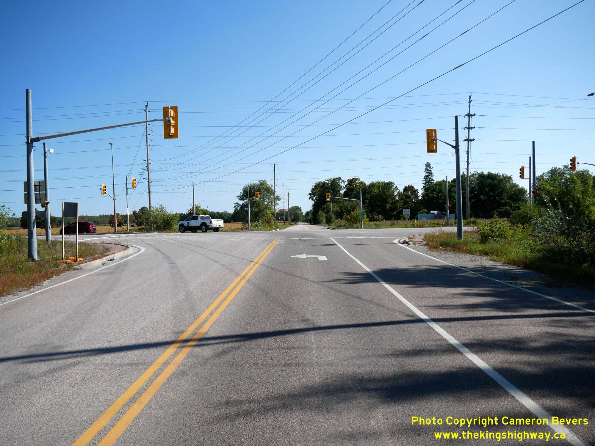
Left - Junction of the Beaverton Bypass (Hwy 12 & Hwy 48) at Mara Road (Old Hwy 12 & Old Hwy 48), facing east. During the construction of the Beaverton Bypass in the mid-1960s, the old 1930s
curved diversion at these corners was closed and the pavement removed. This was done so that the two highways intersected at a right angle. See an
Enlarged Photo Here. (Photograph taken on September 22, 2023 - © Cameron Bevers) Right - Distance guide sign on Hwy 12 & Hwy 48, facing south at Mara Road. It is interesting to note that distance guide signs are still in place on Hwy 12 & Hwy 48 at this former highway junction, even though provincial jurisdiction over the old highway route though Beaverton ceased in 1978. Typically, distance guide signs such as these are only posted downstream of a provincial highway junction or departing from an urbanized area. See an Enlarged Photo Here. (Photograph taken on September 22, 2023 - © Cameron Bevers) 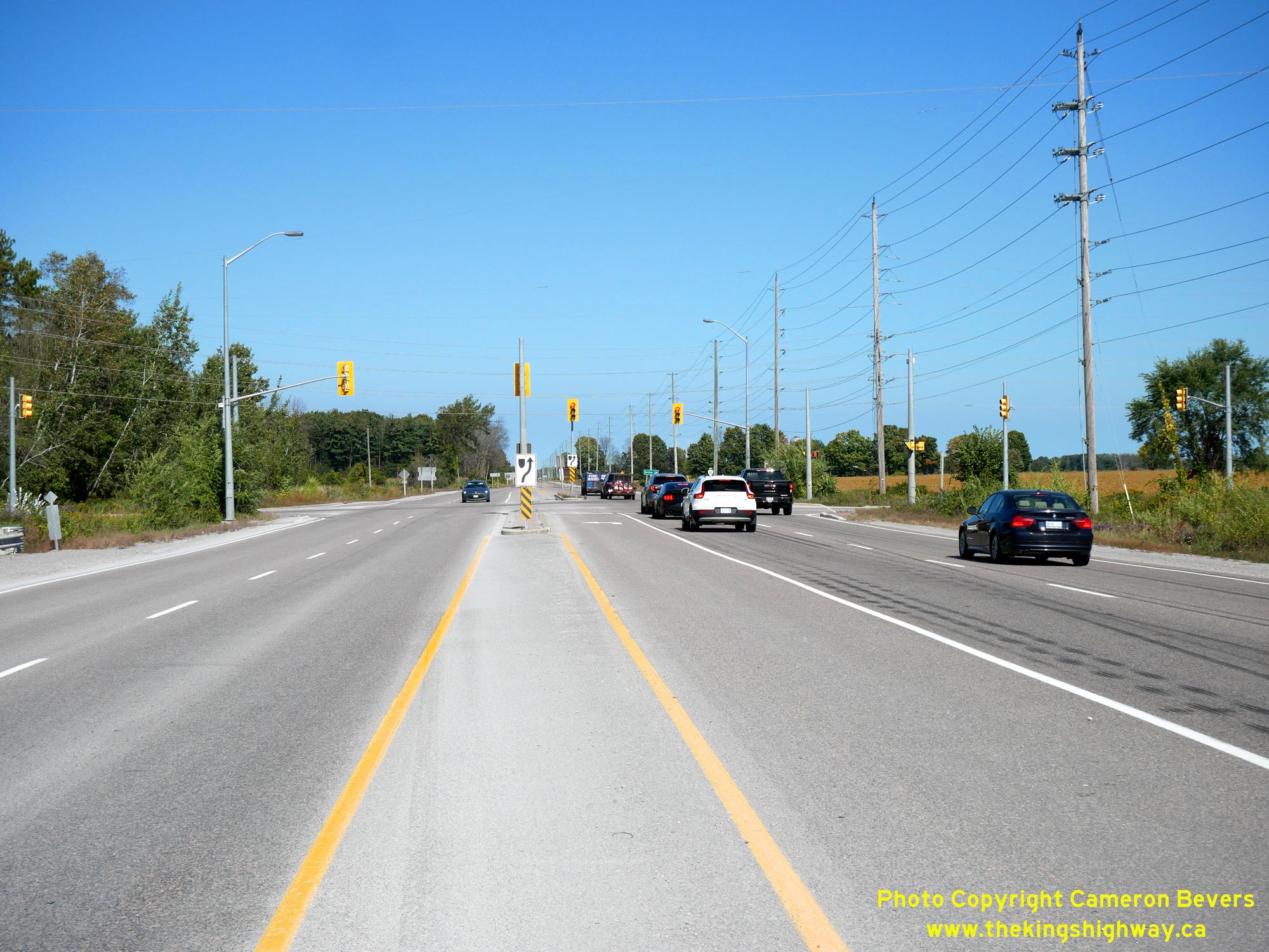

Left - Facing north along the Beaverton Bypass (Hwy 12 & Hwy 48) at Mara Road (Old Hwy 12 & Old Hwy 48). This intersection marks the northern end of
the Beaverton Bypass, which was originally constructed under Contract #1964-139. The old route of Hwy 12 & Hwy 48 tied into the Beaverton Bypass at the end of a
curved diversion situated immediately north of this intersection. When the Beaverton Bypass first opened to traffic in 1966, Mara Road was an un-signalized
Stop-controlled intersection. Traffic signals were installed at this junction in 2002. For many years, Hwy 12 & Hwy 48 shared a concurrent overlapped route along
the bypass east of Beaverton, but the overlapped route was discontinued in 2004. Today, the Beaverton Bypass is signed as Hwy 12 only. See an
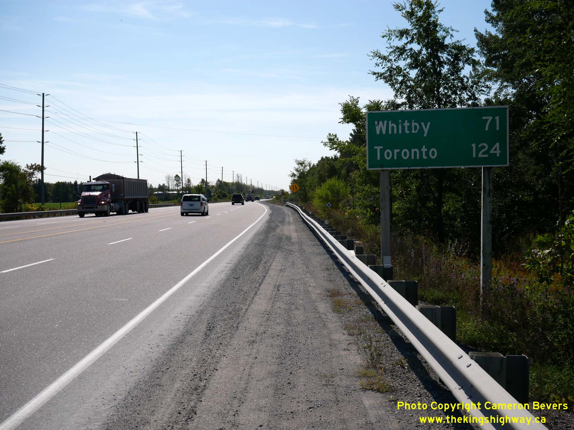
Enlarged Photo Here. (Photograph taken on September 22, 2023 - © Cameron Bevers) Right - View of the Beaverton Bypass (Hwy 12 & Hwy 48) at Mara Road, facing south towards Whitby. During reconstruction of this intersection under Contract #2002-2006, Hwy 12 was expanded to four lanes offset exclusively on the western side of the highway. When the Beaverton Bypass was originally designed in the 1960s, an extra wide right-of-way was acquired to accommodate the construction of a future four-lane divided highway. The widened route of Hwy 12 seen here was constructed where the future southbound carriageway would have been built, had the bypass been constructed as a divided highway as originally envisioned. Most of the Beaverton Bypass was constructed along the route of an old county road (County Road 13), which was previously under the jurisdiction of the former County of Ontario. In April 1964, the DHO assumed jurisdiction and control over Ontario County Road 13 as part of the proposed route of the Beaverton Bypass. See an Enlarged Photo Here. (Photograph taken on September 22, 2023 - © Cameron Bevers) 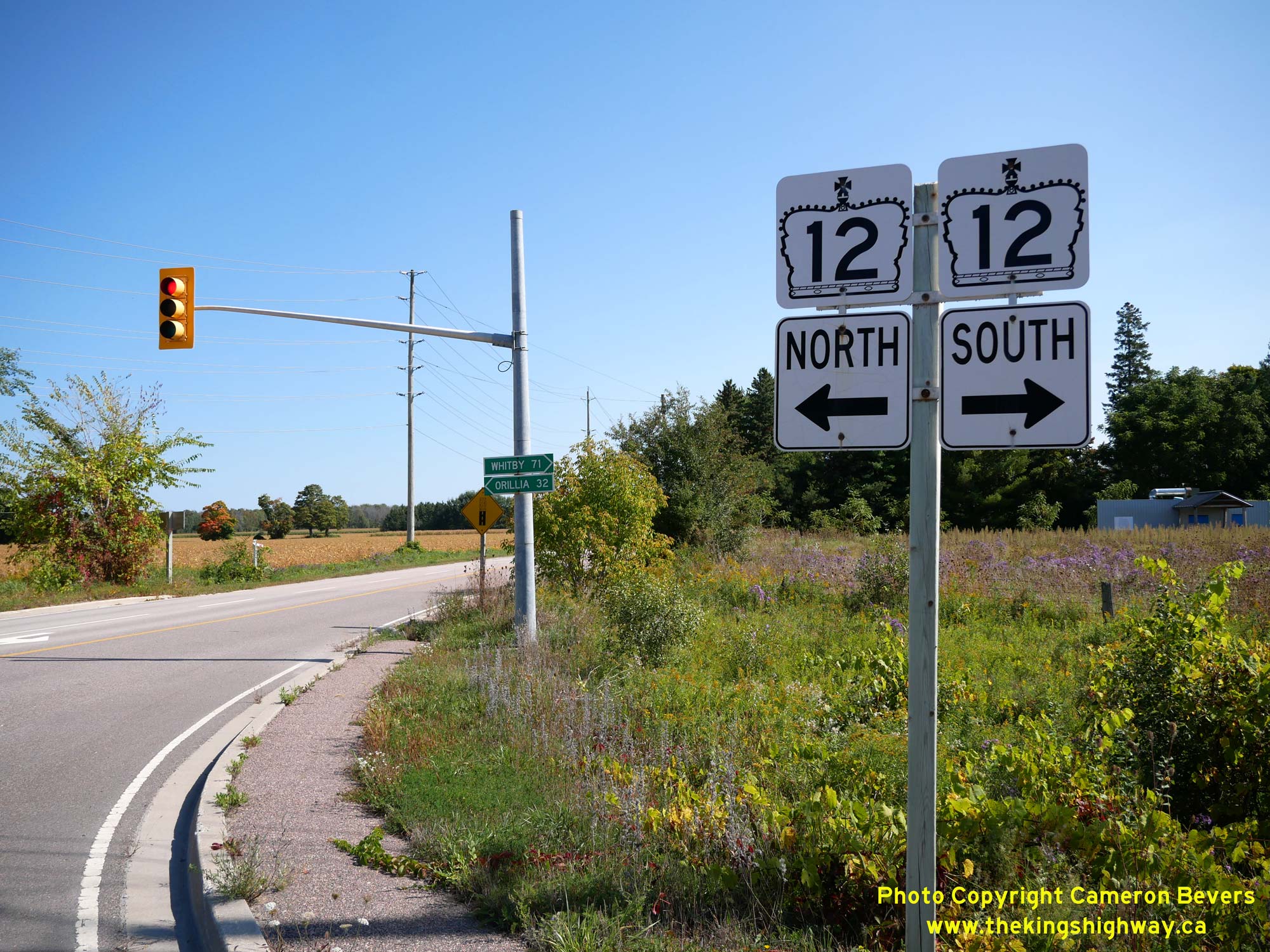
Left - Junction sign assembly and fingerboard destination signs facing Mara Road (Old Hwy 12 & Old Hwy 48). Up until 2004, the Beaverton Bypass was signed
as an overlapped, concurrent route of Hwy 12 & Hwy 48. However, all references to Hwy 48 have since been removed. This change in signing was necessary since
Hwy 48 was no longer a provincial highway between Hwy 12 at Gamebridge and Hwy 35 at Coboconk. This northeastern leg of Hwy 48 was one of many King's Highways in
Central Ontario lost to provincial service downloading to the municipal tier during the 1990s. See an
Enlarged Photo Here. (Photograph taken on September 22, 2023 - © Cameron Bevers) Right - Facing north along Hwy 12 & Hwy 48 from Mara Road (Old Hwy 12 & Old Hwy 48). The former curved diversion coming from Beaverton once joined in at left, just beyond the woodlot. The completion of the Beaverton Bypass in 1966 reduced the highway distance between Whitby and Orillia by about 2 1/2 miles (4 km). See an Enlarged Photo Here. (Photograph taken on September 22, 2023 - © Cameron Bevers) 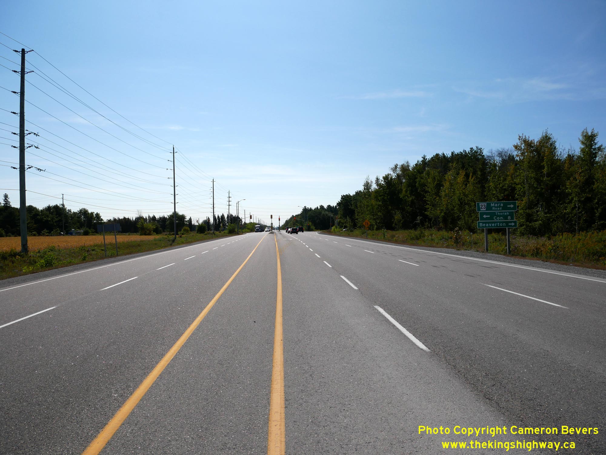
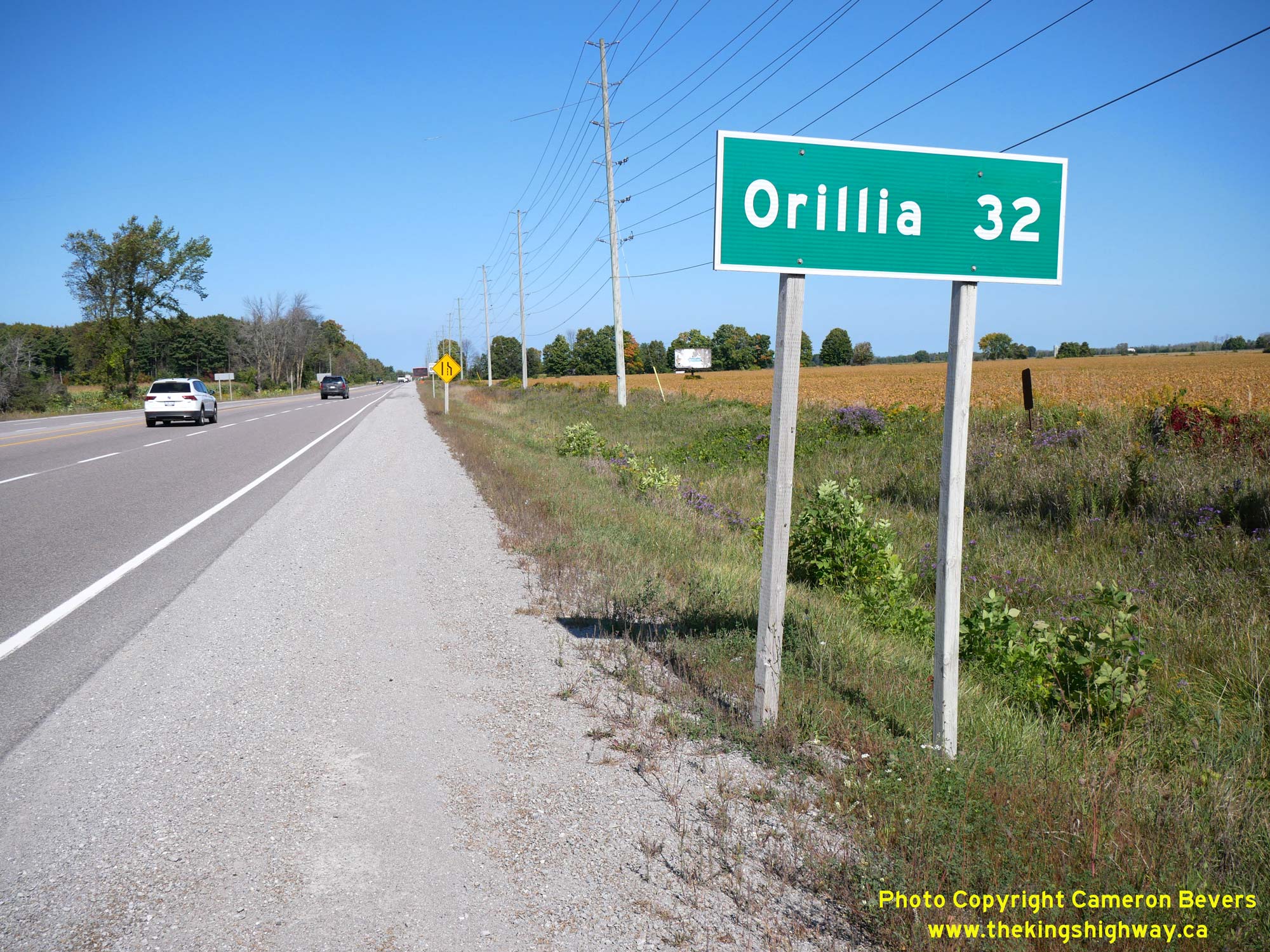
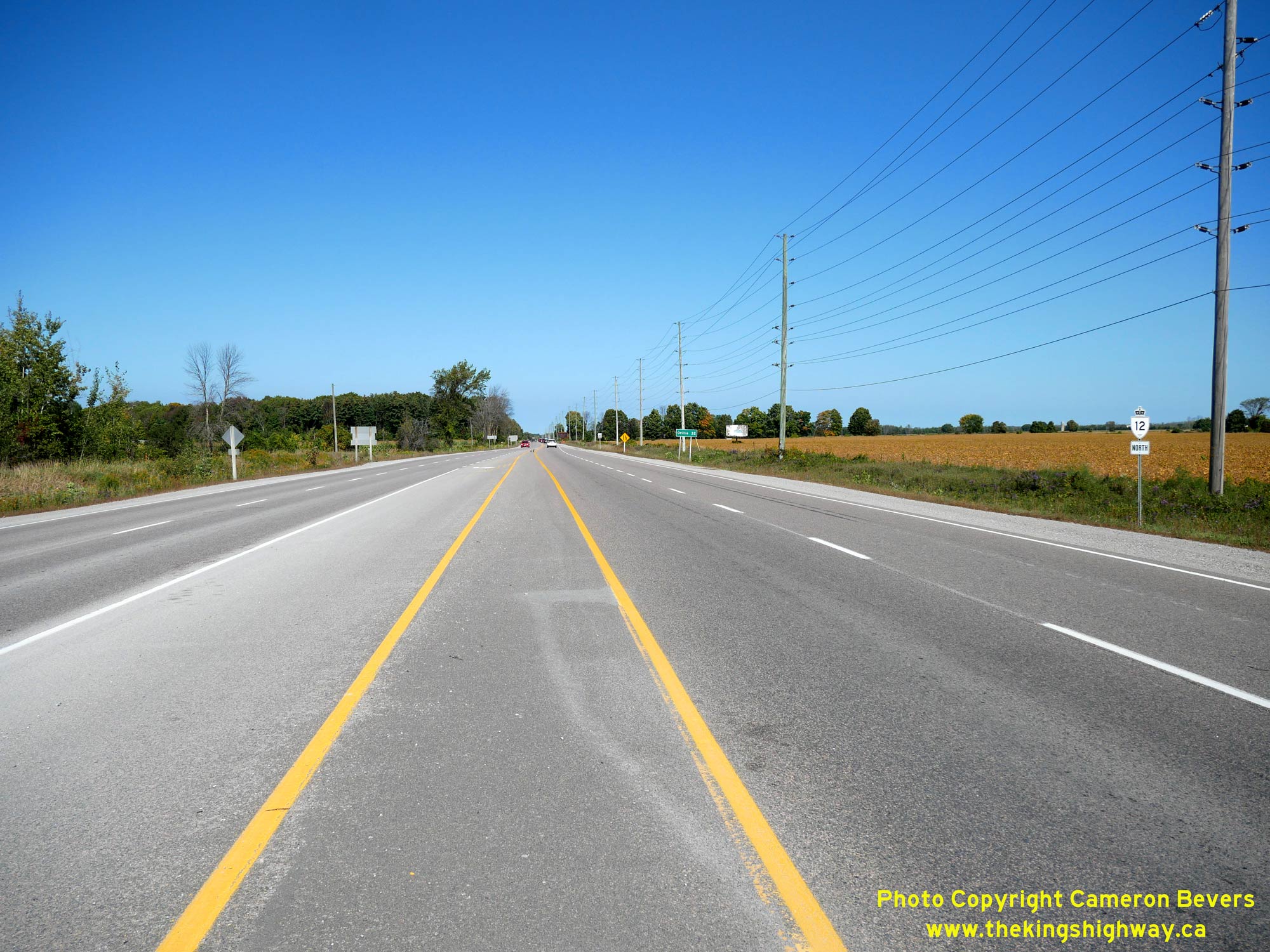
Left - Facing south along Hwy 12 & Hwy 48 approaching Durham Road 23 (Mara Road). Even today, traffic is directed to enter Beaverton via the old route of
Hwy 12 & Hwy 48 (Mara Road). See an Enlarged Photo Here. (Photograph taken on September 22, 2023 - © Cameron Bevers) Right - Distance guide sign on northbound Hwy 12 & Hwy 48 at Mara Road. See an Enlarged Photo Here. (Photograph taken on September 22, 2023 - © Cameron Bevers) 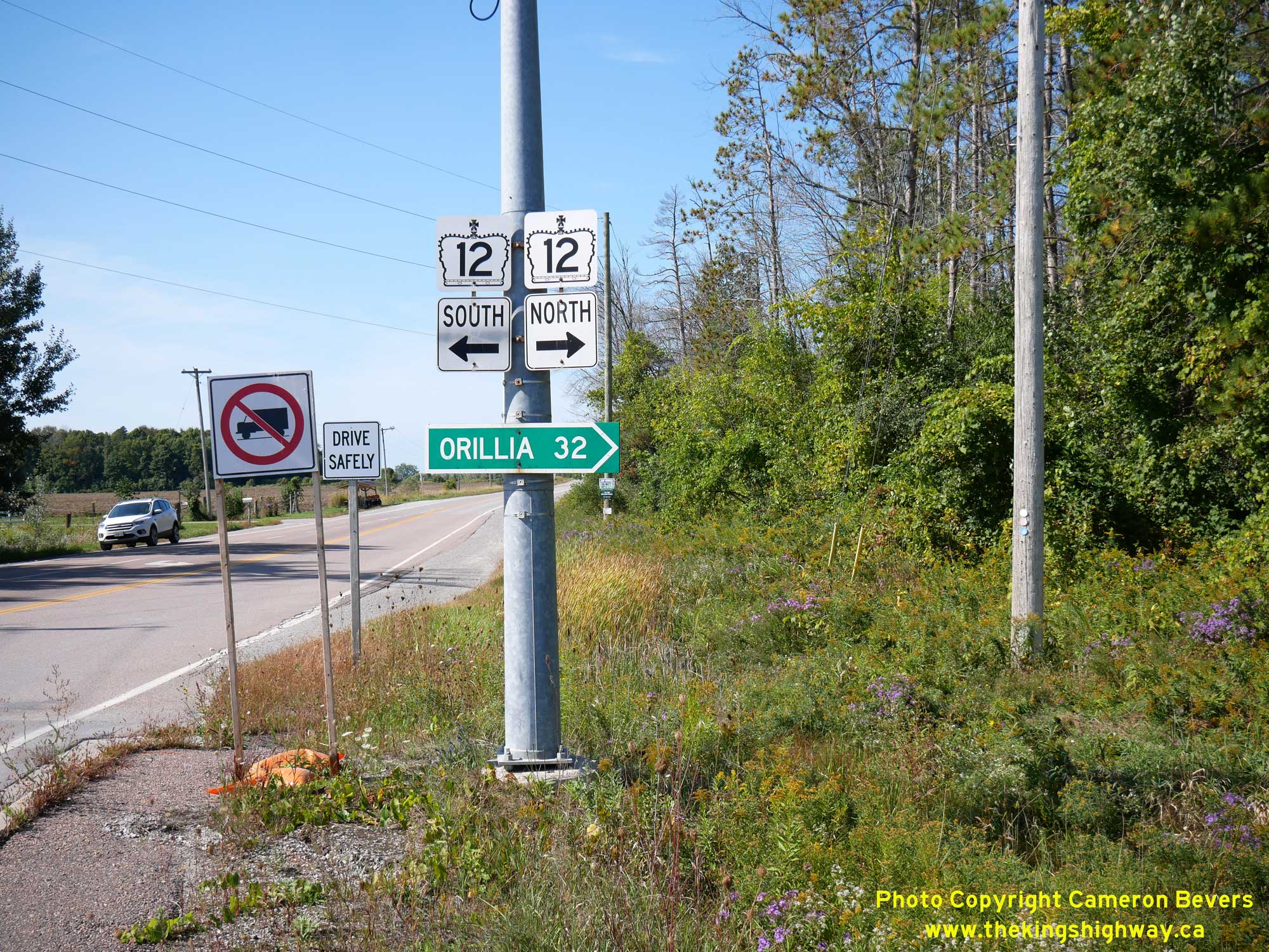
Above - Junction sign assembly and fingerboard destination sign for Orillia facing Concession Road 8. This road continues straight ahead towards Beaverton as
Mara Road (Old Hwy 12 & Old Hwy 48). Durham Road 23 is part of a signed Emergency Diversion Route (EDR), whereby traffic can follow an alternate route if Hwy 12
is closed due an emergency. Note the opening "Drive Safely" sign in the background, which can be opened by emergency responders to show a route marker which directs
traffic back to Hwy 12 downstream of the highway closure. See an Enlarged Photo Here. (Photograph taken on September 22, 2023 - © Cameron Bevers) 
Above - Facing north along Old Hwy 12 in Gamebridge, approaching the Talbot River Bridge. See an
Enlarged Photo Here. (Photograph taken on September 17, 2017 - © Cameron Bevers) 

Left - Talbot River Bridge on Old Hwy 12 in Gamebridge. This concrete bowstring arch bridge was built by the Department of Public Highways of Ontario (DPHO) in
1930. See an Enlarged Photo Here. (Photograph taken on September 17, 2017 - © Cameron Bevers) Right - Facing south across the Talbot River Bridge on Old Hwy 12 in Gamebridge. Like many DPHO-built bridges of this vintage, the Talbot River Bridge has a sidewalk cantilevered out from one side of the concrete truss. Some bowstring bridges built on provincial highways in rural areas of the province had no sidewalk at all, while ones built in urban areas typically had cantilevered sidewalks on both sides. See an Enlarged Photo Here. (Photograph taken on September 17, 2017 - © Cameron Bevers) 

Left - The Talbot River Bridge on Old Hwy 12 is a typical example of a concrete bowstring truss bridge. The Province of Ontario built dozens of these
attractive structures along the provincial highway system in the second half of the 1920s and early 1930s. Counties and townships also built large numbers of these
structures up until the 1930s. As Ontario's highways became busier, many of these bowstring arch bridges had to be replaced because they were too narrow to
accommodate fast, heavy traffic. Only a handful of these bridges still survive today, mostly located on bypassed highway alignments such as this example in
Gamebridge. See an Enlarged Photo Here. (Photograph taken on September 17, 2017 - © Cameron Bevers) Right - Eastern side of the Talbot River Bridge on Old Hwy 12 in Gamebridge. This bowstring bridge has a total span length of 71 feet, 6 inches. It was nearly identical in design to the White's Creek Bridge on Old Hwy 12 & Old Hwy 48 north of Beaverton, which was also built in 1930. The White's Creek Bridge north of Beaverton was replaced with a new structure in the early 1980s. See an Enlarged Photo Here. (Photograph taken on September 17, 2017 - © Cameron Bevers) 

Left - Sadly, the aging Talbot River Bridge was closed to traffic permanently in October 2018. It was subsequently demolished and replaced with a new structure
in 2019. See an Enlarged Photo Here. (Photograph taken on September 17, 2017 - © Cameron Bevers) Right - Approaching the Talbot River Bridge on Old Hwy 12 in Gamebridge, facing south. See an Enlarged Photo Here. (Photograph taken on September 17, 2017 - © Cameron Bevers) 

Left - Facing north along Old Hwy 12 towards the Hwy 12 Junction in Gamebridge. For a number of years during the 1960s, Old Hwy 12 through Gamebridge was
signed as Hwy 12B. Jurisdiction over Hwy 12B through Gamebridge was transferred from the province to the Townships of Thorah and Mara in 1967. See an
Enlarged Photo Here. (Photograph taken on September 17, 2017 - © Cameron Bevers) Right - Facing north along Hwy 12 about 2 km north of Brechin. The Hwy 169 Junction can be seen in the distance. See an Enlarged Photo Here. (Photograph taken on July 23, 2016 - © Cameron Bevers) 

Left - Facing south along Hwy 12 towards Brechin near the Hwy 169 Junction. See an
Enlarged Photo Here. (Photograph taken on July 23, 2016 - © Cameron Bevers) Right - Green guide sign for Hwy 169 on northbound Hwy 12 near Brechin. Until the late 1990s, Hwy 169 was a King's Highway which extended from Hwy 12 north of Brechin to MacTier, via Washago and Gravenhurst. Jurisdiction over the southern leg of Hwy 169 from Brechin to Washago was transferred to the County of Simcoe in 1998. This section of Hwy 169 is now officially known as Simcoe Road 169. The northern leg of Hwy 169 from Gravenhurst to MacTier is now officially known as Muskoka Road 169. See an Enlarged Photo Here. (Photograph taken on July 23, 2016 - © Cameron Bevers) 

Left - Distance guide sign on southbound Hwy 12 at the Hwy 169 Junction near Brechin. See an
Enlarged Photo Here. (Photograph taken on July 23, 2016 - © Cameron Bevers) Right - Junction assembly and fingerboard destination signs at the Hwy 12 & Hwy 169 Junction between Brechin and Orillia. See an Enlarged Photo Here. (Photograph taken on July 23, 2016 - © Cameron Bevers) 

Left - Facing south along Hwy 12 from the Hwy 169 Junction near Brechin. The community of Brechin lies about 3 km to the south of the Hwy 169 Junction. See an
Enlarged Photo Here. (Photograph taken on July 23, 2016 - © Cameron Bevers) Right - A channelized right turn lane carries traffic from northbound Hwy 12 to northbound Hwy 169. See an Enlarged Photo Here. (Photograph taken on July 23, 2016 - © Cameron Bevers) 

Left - Southern terminus of Hwy 169 at the Hwy 12 Junction north of Brechin. These two highways have met at this rural highway junction ever since the new
Brechin-Washago route of Hwy 69 (later known as Hwy 169) was first established in 1952. Prior to 1952, Hwy 12 & Hwy 69 joined together immediately east of the
Atherley Narrows Bridge near Orillia. See an Enlarged Photo Here. (Photograph taken on July 23, 2016 - © Cameron Bevers) Right - Facing north along Hwy 169 towards Washago from the Hwy 12 Junction. See an Enlarged Photo Here. (Photograph taken on July 23, 2016 - © Cameron Bevers) 

Left - Facing north along Hwy 12 from the Hwy 169 Junction north of Brechin. See an
Enlarged Photo Here. (Photograph taken on July 23, 2016 - © Cameron Bevers) Right - Approaching the Hwy 169 Junction on Hwy 12, facing south towards Brechin. The Ministry of Transportation of Ontario (MTO) plans to convert this stop-controlled intersection to a roundabout in the coming years, in order to more effectively deal with both existing and future traffic demand at this highway junction. See an Enlarged Photo Here. (Photograph taken on July 23, 2016 - © Cameron Bevers) 

Left - Distance guide sign on northbound Hwy 12 at the Hwy 169 Junction near Brechin. See an
Enlarged Photo Here. (Photograph taken on July 23, 2016 - © Cameron Bevers) Right - Green guide sign marking the upcoming Hwy 169 Junction on southbound Hwy 12. See an Enlarged Photo Here. (Photograph taken on July 23, 2016 - © Cameron Bevers)
Continue on to King's Highway 12 Present Day Photos: Orillia to Waubaushene
|
|---|
Links to Adjacent King's Highway Photograph Pages:
Back to King's Highway 11 Photos /
King's Highway 12 History /
On to King's Highway 14 Photos
Ontario Highway History - Main Menu / Back to List of Highways Website contents, photos & text © 2002-2026, Cameron
Bevers (Webmaster) - All Rights Reserved / Contact Me
|
|---|