
| 
|  |
|
|
This page contains present day photos (Year 2000 to date) of Ontario's King's Highway 17, arranged by location from Ignace
westerly to Dryden. All photographs displayed on this page were taken by the Webmaster (Cameron Bevers), unless specifically noted otherwise. Click on any
thumbnail to see a larger image!
Please note that all photographs displayed on this
website are protected by copyright. These photographs must not be reproduced, published,
electronically stored or copied, distributed, or posted onto other websites without
my written permission. If you want to use photos from this website, please
email me first for permission. Thank-you!
|
|---|
|
Page 37: Present Day King's Highway 17 Photographs (Ignace to Dryden)
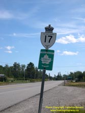
Above - "Voyageur Route" Trans-Canada Highway marker on Hwy 17. The "Voyageur Route" markers are very scarce today, as most of these
signs have been replaced with the more generic "Northern Ontario Route" markers or plain Trans-Canada Highway markers. Evidently, the MTO is
discouraging the use of more specific Trans-Canada Highway route names today. (Photograph taken on August 31, 2006 - © Cameron Bevers) 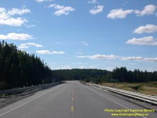
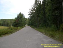
Left - View of Hwy 17 at the Revell River Bridge, facing west towards the Hwy 622 Junction. See an
Enlarged Photo Here. (Photograph taken on September 1, 2004 - © Cameron Bevers) Right - This former Hwy 17 alignment west of Ignace serves as an access road to the Raleigh Falls Roadside Park. (Photograph taken on August 31, 2006 - © Cameron Bevers) 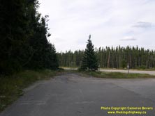
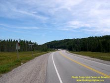
Left - Former Hwy 17 alignment at the Raleigh Falls Roadside Park west of Ignace. (Photograph taken on August 31, 2006 - © Cameron Bevers) Right - Facing east along Hwy 17 near the Raleigh Falls Roadside Park west of Ignace. (Photograph taken on August 31, 2006 - © Cameron Bevers) 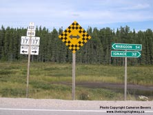
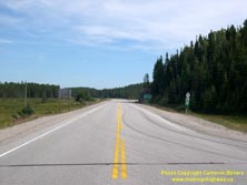
Left - Junction and distance signs at the northern terminus of Hwy 622 at Hwy 17. (Photograph taken on August 31, 2006 - © Cameron Bevers) Right - Facing east towards Ignace along Hwy 17 from the Hwy 622 Junction. See an Enlarged Photo Here. (Photograph taken on August 31, 2006 - © Cameron Bevers) 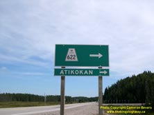
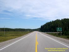
Left - Green guide sign marking the Hwy 622 Junction on Hwy 17 west of Ignace. (Photograph taken on August 31, 2006 - © Cameron Bevers) Right - Facing east along Hwy 17 towards the Hwy 622 Junction west of Ignace. See an Enlarged Photo Here. (Photograph taken on August 31, 2006 - © Cameron Bevers) 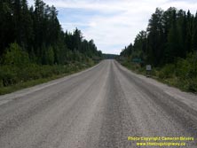
Above - Facing south along Hwy 622 towards Atikokan from the Hwy 17 Junction west of Ignace. See an
Enlarged Photo Here. (Photograph taken on August 31, 2006 - © Cameron Bevers) 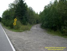
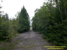
Left - This banked curve was once a portion of Hwy 17 near Aaron Provincial Park near Dryden (Photograph taken on August 23, 2003 - © Cameron Bevers) Right - This forgotten Hwy 17 alignment east of Dryden rejoins the current highway beyond the hill (Photograph taken on August 23, 2003 - © Cameron Bevers) 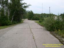
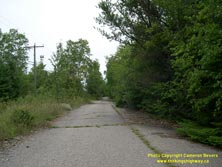
Left - Abandoned Hwy 17 alignment east of Dryden. This road now serves as a driveway to a house. (Photograph taken on August 23, 2003 - © Cameron Bevers) Right - The advancing forest will one day reclaim this abandoned portion of Hwy 17 east of Dryden (Photograph taken on August 23, 2003 - © Cameron Bevers) 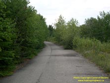
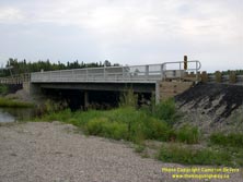
Left - Abandoned Hwy 17 alignment east of Dryden (Photograph taken on August 23, 2003 - © Cameron Bevers) Right - A recently-rehabilitated timber trestle bridge in Wabigoon (Photograph taken on August 23, 2003 - © Cameron Bevers) 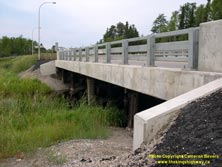
Left - The old timber trestle at Wabigoon is still visible underneath the new concrete beams (Photograph taken on August 23, 2003 - © Cameron Bevers)
Continue on to King's Highway 17 Photos: Dryden to Vermilion Bay
|
|---|
Links to Adjacent King's Highway Photograph Pages:
Back to King's Highway 16 Photos /
King's Highway 17 History /
On to King's Highway 18 Photos
Ontario Highway History - Main Menu / Back to List of Highways Website contents, photos & text © 2002-2025, Cameron
Bevers (Webmaster) - All Rights Reserved / Contact Me |
|---|