History of Secondary Highway 538:
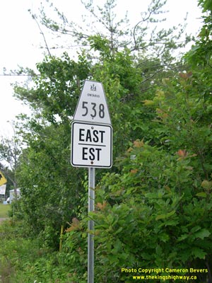
Secondary Highway 538 is a local highway that serves the small lakeside community of Algoma Mills, east of Blind River. The route of Highway 538 was first designated
by an Order-in-Council dated May 9, 1956. Highway 538 runs parallel to Highway 17 for its entire route. The route of Highway 538 was extended slightly in the
mid-1960s, when a former alignment of Highway 17 through Algoma Mills was redesignated as a new portion of Highway 538. The extension of Highway 538 was designated
on October 8, 1964. The extension added another 0.6 miles (1 km) extension to the route of the highway. This newly-added section of Highway 538 was ultimately
decommissioned during the 1970s, leaving only the original 5.6 km route that we see today. The decommissioned section of Highway 538 through Algoma Mills is now known
as Centre Street. Highway 538 was gravel-surfaced until the mid-1980s, when it was paved. There are no services available on this highway.
|