History of Secondary Highway 562:
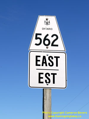
Secondary Highway 562 is a local highway that provides access to the small community of Thornloe from Highway 11 and Highway 65 in the District of Timiskaming.
Highway 562 was first designated by an Order-in-Council dated May 9, 1956. The route was first depicted on a Preliminary Route Plan prepared by the Department of
Highways of Ontario (DHO) in June 1956. The new highway was 9.0 miles (14.5 km) in length. The route began at Highway 11 between New Liskeard and Earlton and headed
west to Thornloe. From Thornloe, Highway 562 turned southwesterly and connected with Highway 65 between New Liskeard and Elk Lake. At the time of designation in 1956,
only the short section of Highway 562 between Thornloe and the Highway 11 Junction was paved. The balance of Highway 562 was gravel-surfaced. Highway 562 was paved
from the Highway 65 Junction to the Highway 571 Junction in 1963 and from the Highway 571 Junction to Thornloe in 1966. The highway's route has not changed since
1956. Unless posted otherwise, the speed limit on Highway 562 is 80 km/h (50 mph). Services are only available at the Highway 11 Junction east of Thornloe.
|