Hwy 563 Sign Graphic Hwy 563 Title Graphic Hwy 563 Sign Graphic   

Ontario Highway 563 Quick Facts:
  • Years in Existence: 1956-Present
  • Current Status: In Service
  • Location: Northeastern Ontario
  • District Served: Algoma
  • Towns Served: Batchawana Bay
  • Eastern Terminus: Hwy 17 - North of Sault Ste. Marie
  • Western Terminus: Batchawana Bay Government Dock
  • Current Length: 5.5 km / 3.4 miles
HWY 563 ROUTE MARKER - © Cameron Bevers
Secondary Highway 563 Sign © Cameron Bevers

History of Secondary Highway 563:

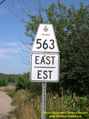
Secondary Highway 563 is a local highway that provides access to the small lakeside community of Batchawana Bay from Highway 17 in the District of Algoma. Highway 563 was first designated by an Order-in-Council dated May 9, 1956. The route began at Highway 17 north of Sault Ste. Marie and ended at the Batchawana Bay Government Dock. The highway was gravel-surfaced at the time of designation in 1956, but a primed bituminous surface was constructed along the entire length of Highway 563 during 1957. The highway's route has not changed since 1956. Unless posted otherwise, the speed limit on Highway 563 is 80 km/h (50 mph). There are no services available on this highway.

Links to Adjacent Secondary Highway Pages:


Back to Hwy 562   /    On to Hwy 564

Ontario Highway History - Main Menu   /    Back to List of Highways


Website contents, photos & text © 2002-2025, Cameron Bevers (Webmaster) - All Rights Reserved  /  Contact Me


Valid HTML 4.01!   Valid CSS!