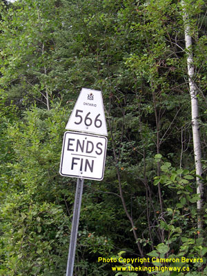
History of Secondary Highway 566:
Secondary Highway 566 is a local highway that extends west from Matachewan to the Ashley Mine site in the District of Timiskaming. Highway 566 was first designated
by an Order-in-Council dated May 9, 1956. The route was first depicted on a Preliminary Route Plan prepared by the Department of Highways of Ontario (DHO) in June
1956. The 15.6-mile (25.1 km) route began at the western end of Highway 66 at the Montreal River Bridge in Matachewan and headed west to Ashley Mine, located south of
Timmins. The highway was gravel-surfaced at the time of designation in 1956, but the highway was paved from Matachewan to the Young-Davidson Mine entrance in
1958. The balance of the highway remained gravel-surfaced. Apart from a few realignments, the highway's route has not changed significantly since 1956. Unless posted
otherwise, the speed limit on Highway 566 is 80 km/h (50 mph). Services are only available in Matachewan.
|