History of Secondary Highway 568:
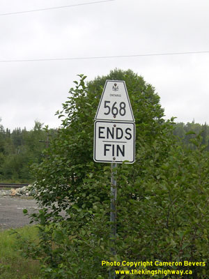
Secondary Highway 568 is a local highway in the District of Timiskaming that provides access from Highway 11 to Kenogami Lake Station, west of Kirkland Lake.
Highway 568 was first designated by an Order-in-Council dated May 9, 1956. The route was first depicted on a Preliminary Route Plan prepared by the Department of
Highways of Ontario (DHO) in June, 1956. The new highway was 1.5 miles (2.5 km) in length. At the time of designation in 1956, the entire length of Highway 568 was
gravel-surfaced. Highway 568 was paved in the mid-1980s. The highway's route has not changed since 1956. Unless posted otherwise, the speed limit on Highway 568 is
80 km/h (50 mph). Services are only available at the Highway 11 Junction in Kenogami Lake.
|