History of Secondary Highway 605:
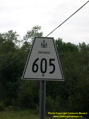
Secondary Highway 605 is a local highway in the District of Kenora that provides access to the small rural community of Eton-Rugby, located northwest of Dryden.
Highway 605 was first designated by an Order-in-Council dated May 9, 1956. The route was first depicted on a Preliminary Route Plan prepared by the Department of
Highways of Ontario (DHO) in May 1956. Highway 605 has remained more or less the same ever since the route was first established in 1956. The highway was
gravel-surfaced at first, but a primed bituminous surface was constructed along the highway in the mid-1970s. Unless posted otherwise, the speed limit on Highway 605
is 80 km/h (50 mph). There are no services available on this highway.
|