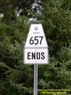
History of Secondary Highway 657:
Secondary Highway 657 is a local highway in the District of Kenora that serves as an access road from Highway 105 to Goldpines Camp south of Red Lake. The Department
of Highways of Ontario (DHO) assumed jurisdiction and control over the Goldpines Road in two sections during the 1960s. A Preliminary Assumption Plan was prepared
dated October 13, 1966, which showed the proposed acquisition of the Goldpines Road between Highway 105 and the Canadian National Railway crossing as a new provincial
highway. The plan was registered on October 31, 1966, which gave DHO jurisdiction and control over that part of the Goldpines Road. Highway 657 was formally
designated as a Secondary Highway by an Order-in-Council, effective November 17, 1966. A second eastern section of the Goldpines Road was shown on a Preliminary
Assumption Plan dated July 11, 1967, which showed the proposed acquisition of the Goldpines Road between the Canadian National Railway crossing and the intersection
of a proposed street (Margaret Street) near the Goldpines Camp entrance as a new provincial highway. The plan was registered on July 26, 1967. This eastern section of
Highway 657 was formally designated as a Secondary Highway by an Order-in-Council, effective August 10, 1967. Highway 657 was first shown with a paved surface on the
1971 edition of the Ontario Official Road Map. The route of Highway 657 has not changed substantially since that time.
|