
| 
| |
|
|
This page contains historical and present day photos of Ontario's King's Highway 108 (#2), which ran from Highway 17 northerly
to Quirke Lake Mine in the Elliot Lake area. All photographs displayed on this page were taken by the Webmaster (Cameron Bevers), unless specifically noted otherwise.
Historical photographs are arranged in approximate chronological order, while present day photographs (Year 2000 to date) are arranged by location from south to
north. Click on any thumbnail to see a larger image!
Please note that all photographs displayed on this
website are protected by copyright. These photographs must not be reproduced, published,
electronically stored or copied, distributed, or posted onto other websites without
my written permission. If you want to use photos from this website, please
email me first for permission. Thank-you!
|
|---|
|
Present Day King's Highway 108 (#2) Photographs

Above - Blue guide sign on westbound Hwy 17 directing Elliot Lake-bound traffic to use Hwy 108. See an
Enlarged Photo Here. (Photograph taken on August 28, 2011 - © Cameron Bevers) 

Left - Approaching the Hwy 108 Junction on Hwy 17 at Serpent River, facing west. See an
Enlarged Photo Here. (Photograph taken on August 28, 2011 - © Cameron Bevers) Right - Green guide sign on westbound Hwy 17 at the Hwy 108 Junction at Serpent River. Elliot Lake is a sizeable city situated about 30 km north of the Hwy 17 & Hwy 108 Junction. The Elliot Lake Highway was initially known as Secondary Highway 612 in the mid-1950s. It was re-designated as King's Highway 108 in 1957. See an Enlarged Photo Here. (Photograph taken on July 16, 2007 - © Cameron Bevers) 

Left - An older "JCT" junction sign approaching the Hwy 108 Junction on eastbound Hwy 17. See
an Enlarged Photo Here. (Photograph taken on August 31, 2003 - © Cameron Bevers) Right - Junction sign assembly at the southern terminus of Hwy 108 at the Hwy 17 Junction. See an Enlarged Photo Here. (Photograph taken on August 28, 2011 - © Cameron Bevers) 

Left - Distance guide sign on eastbound Hwy 17 at the Hwy 108 Junction at Serpent River. See an
Enlarged Photo Here. (Photograph taken on August 28, 2011 - © Cameron Bevers) Right - Facing west along Hwy 17 towards Blind River at the Hwy 108 Junction at Serpent River. See an Enlarged Photo Here. (Photograph taken on August 28, 2011 - © Cameron Bevers) 

Left - Facing east along Hwy 17 towards Cutler from the Hwy 108 Junction at Serpent River. See an
Enlarged Photo Here. (Photograph taken on July 3, 2005 - © Cameron Bevers) Right - Junction of Hwy 17 & Hwy 108, facing north towards Elliot Lake from the Serpent River Truck Scales. Only three King's Highways head north from Hwy 17 between Sudbury and Sault Ste. Marie - Hwy 144, Hwy 108 and Hwy 129. Of these three highways, Hwy 108 is the only one which does not connect to any other King's Highways at the northern terminus. Rather, Hwy 108's only outlet is via Secondary Highways (Hwy 639 and Hwy 546), which form a rather scenic but long loop back to Hwy 17 at Iron Bridge. See an Enlarged Photo Here. (Photograph taken on July 3, 2005 - © Cameron Bevers) 

Left - The channelized right-turn ramp from westbound Hwy 17 to northbound Hwy 108 becomes a passing lane north of Serpent River. See an
Enlarged Photo Here. (Photograph taken on August 28, 2011 - © Cameron Bevers) Right - Distance guide sign on northbound Hwy 108 near the Hwy 17 Junction. Although it is a fairly large urban centre, Elliot Lake is the only settlement situated along Hwy 108. North of Elliot Lake, Hwy 108 becomes Hwy 639 which continues north to connect with Hwy 546 in a rather remote area. See an Enlarged Photo Here. (Photograph taken on August 28, 2011 - © Cameron Bevers) 

Left - Approaching the southern terminus of Hwy 108 at the Hwy 17 Junction at Serpent River. Hwy 108 descends a long grade approaching the highway junction. See
an Enlarged Photo Here. (Photograph taken on August 28, 2011 - © Cameron Bevers) Right - View of the junction of Hwy 17 & Hwy 108 at Serpent River, facing south. See an Enlarged Photo Here. (Photograph taken on August 28, 2011 - © Cameron Bevers) 

Left - Facing west along Hwy 17 towards Blind River from the Hwy 108 Junction at Serpent River. See an
Enlarged Photo Here. (Photograph taken on August 28, 2011 - © Cameron Bevers) Right - Approaching the Hwy 108 Junction on Hwy 17, facing east towards Spanish. See an Enlarged Photo Here. (Photograph taken on August 28, 2011 - © Cameron Bevers) 

Left - Junction sign assembly departing from the Serpent River Truck Scales at the Hwy 17 & Hwy 108 Junction. See an
Enlarged Photo Here. (Photograph taken on August 28, 2011 - © Cameron Bevers) Right - Distance guide sign on westbound Hwy 17 at the Hwy 108 Junction. See an Enlarged Photo Here. (Photograph taken on August 28, 2011 - © Cameron Bevers) 

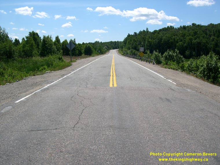
Left - View of Hwy 108 north of Elliot Lake facing north. See an
Enlarged Photo here. (Photograph taken on July 3, 2005 - © Cameron Bevers) Right - Facing north along Hwy 108 approaching Hwy 639 Junction. See an Enlarged Photo here. (Photograph taken on July 3, 2005 - © Cameron Bevers) 

Left - Older Deer Trail tourist route sign from the 1980s near Hwy 639 Junction. See an
Enlarged Photo here. (Photograph taken on July 3, 2005 - © Cameron Bevers) Right - Highway junction signs at Hwy 108 and Hwy 639 north of Elliot Lake. The two highways actually form one continuous through road at this junction. See an Enlarged Photo here. (Photograph taken on July 3, 2005 - © Cameron Bevers) 

Left - Odd warning sign indicating the end of the centre line marking on Hwy 108. See an
Enlarged Photo here. (Photograph taken on July 3, 2005 - © Cameron Bevers) Right - Facing south towards Elliot Lake along Hwy 108 from Hwy 639 Junction. See an Enlarged Photo here. (Photograph taken on July 3, 2005 - © Cameron Bevers) 
Left - End of the centre line marking on Hwy 108 at Hwy 639 Junction. See an
Enlarged Photo here. (Photograph taken on July 3, 2005 - © Cameron Bevers) Right - The starting point of Hwy 108 and end point of Hwy 639 is quite evident. See an Enlarged Photo here. (Photograph taken on July 3, 2005 - © Cameron Bevers) 
Above - Facing south along Hwy 639 towards Hwy 108 Junction. See an
Enlarged Photo here. (Photograph taken on July 3, 2005 - © Cameron Bevers)
More King's Highway 108 (#2) Photographs Coming Soon!
|
|---|
Links to Adjacent King's Highway Photograph Pages:
Back to King's Highway 108 (#1) Photos /
King's Highway 108 (#2) History /
On to King's Highway 109 (#1) Photos
Ontario Highway History - Main Menu / Back to List of Highways Website contents, photos & text © 2002-2026, Cameron
Bevers (Webmaster) - All Rights Reserved / Contact Me
|
|---|