
| 
|  |
|
|
This page contains present day photos (Year 2000 to date) of Ontario's King's Highway 17, arranged by location from Selim Hill
northerly to Cavers Hill. All photographs displayed on this page were taken by the Webmaster (Cameron Bevers), unless specifically noted otherwise. Click on any
thumbnail to see a larger image!
Please note that all photographs displayed on this
website are protected by copyright. These photographs must not be reproduced, published,
electronically stored or copied, distributed, or posted onto other websites without
my written permission. If you want to use photos from this website, please
email me first for permission. Thank-you!
|
|---|
|
Page 27: Present Day King's Highway 17 Photographs (Selim Hill to Cavers Hill)
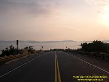

Left - View of Lake Superior from Selim Hill CP Railway Overhead near Rossport. (Photograph taken on September 3, 2004 - © Cameron Bevers) Right - Sunset over Hwy 17 at Selim Hill, between Schreiber and Rossport. (Photograph taken on September 3, 2004 - © Cameron Bevers) 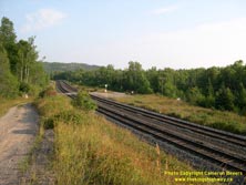

Left - Sunset over Hwy 17 at Selim Hill, between Schreiber and Rossport. (Photograph taken on September 3, 2004 - © Cameron Bevers) Right - Abandoned Hwy 17 alignment at Selim Hill, south of Rossport. (Photograph taken on September 3, 2004 - © Cameron Bevers) 
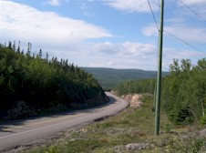
Left - Steep downhill grade at Nineteen Hill, between Rossport and Pays Plat on Hwy 17. (Photograph taken on August 29, 2003 - © Cameron Bevers) Right - Pass on Hwy 17 across the top of Nineteen Hill between Rossport and Pays Plat. (Photograph taken on August 29, 2003 - © Cameron Bevers) 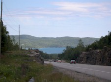

Left - Descending Pays Plat Hill on Hwy 17 heading south towards Rossport. (Photograph taken on August 29, 2003 - © Cameron Bevers) Right - View of Cavers Hill/Pays Plat Hill from the Nineteen Hill picnic area and lookout, six kilometres away. Note Hwy 17 ascending the mountain in the far distance, heading north to Nipigon (Photograph taken on August 29, 2003 - © Cameron Bevers) 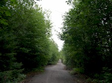
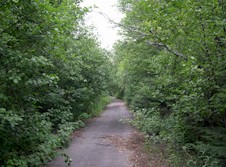
Left - Abandoned Hwy 17 alignment leading up Pays Plat Hill from south (Cavers Hill South section). (Photograph taken on August 29, 2003 - © Cameron Bevers) Right - Another view of abandoned Hwy 17 leading up to the top of Cavers Hill from Pays Plat. (Photograph taken on August 29, 2003 - © Cameron Bevers) 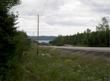

Left - View of steep descent from Cavers Hill at southern end looking towards Pays Plat. (Photograph taken on August 29, 2003 - © Cameron Bevers) Right - While the current Hwy 17 descent towards Pays Plat is steep, the old road was even steeper. (Photograph taken on August 29, 2003 - © Cameron Bevers) 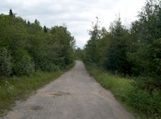

Left - Old Hwy 17 alignment across the top of Cavers Hill (South section). (Photograph taken on August 29, 2003 - © Cameron Bevers) Right - Abandoned Hwy 17 alignment leading up Pays Plat Hill (Cavers Hill South section). (Photograph taken on August 29, 2003 - © Cameron Bevers) 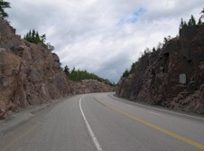

Left - Inside the South Cavers Hill rock cut, looking south along Hwy 17. Note the steep uphill grade! (Photograph taken on August 29, 2003 - © Cameron Bevers) Right - Looking north along Hwy 17, towards the North Cavers Hill rock cut from picnic area. (Photograph taken on August 29, 2003 - © Cameron Bevers) 
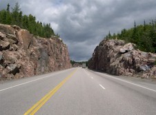
Left - North end of Cavers Hill showing double rest areas on each side of Hwy 17. Note the old 1930s alignment of Hwy 17 which emerges at the top of the rock cut beside the hydro pole. (Photograph taken on August 29, 2003 - © Cameron Bevers) Right - Beginning of the North Cavers Hill rock cut, looking south along Hwy 17. (Photograph taken on August 29, 2003 - © Cameron Bevers) 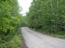
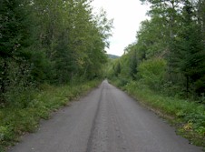
Left - This former Hwy 17 alignment now serves as an access road to CPR's Cavers Siding. (Photograph taken on August 29, 2003 - © Cameron Bevers) Right - Another section of the old Hwy 17 alignment at Cavers Hill (North section). (Photograph taken on August 29, 2003 - © Cameron Bevers) 

Left - Cavers Hill looms over the Cavers CPR siding. The railway engineers had experienced considerable difficulty in conquering Cavers Hill. Two
tunnels had to be bored through the mountain in the 1880s in order to complete the CPR. In the 1930s, the highway engineers building the North Shore
Highway (later known as Hwy 17) were forced to run the road across the top of Cavers Hill via a steep, winding 6 kilometre-long mountain pass. (Photograph taken on August 29, 2003 - © Cameron Bevers) Right - Abandoned Hwy 17 alignment at Cavers Hill (North section). (Photograph taken on August 29, 2003 - © Cameron Bevers)
Continue on to King's Highway 17 Photos: Cavers Hill to Nipigon
|
|---|
Links to Adjacent King's Highway Photograph Pages:
Back to King's Highway 16 Photos /
King's Highway 17 History /
On to King's Highway 18 Photos
Ontario Highway History - Main Menu / Back to List of Highways Website contents, photos & text © 2002-2025, Cameron
Bevers (Webmaster) - All Rights Reserved / Contact Me |
|---|