
| 
| |
|
|
This page contains present day photos (Year 2000 to date) of Ontario's King's Highway 23, arranged by location from Mitchell
northerly to Listowel. All photographs displayed on this page were taken by the Webmaster (Cameron Bevers), unless specifically noted otherwise. Click on any
thumbnail to see a larger image!
Please note that all photographs displayed on this
website are protected by copyright. These photographs must not be reproduced, published,
electronically stored or copied, distributed, or posted onto other websites without
my written permission. If you want to use photos from this website, please
email me first for permission. Thank-you!
|
|---|
|
Page 2: Present Day King's Highway 23 Photographs (Mitchell to Listowel)


Left - Western side of the Thames River Tributary Bridge on Hwy 23, located about 5 km north of Mitchell. See an
Enlarged Photo Here. (Photograph taken on October 18, 2008 - © Cameron Bevers) Right - Fingerboard sign marking the Thames River Tributary Bridge on Hwy 23 north of Mitchell. (Photograph taken on May 24, 2003 - © Cameron Bevers) 

Left - Eastern side of the Thames River Tributary Bridge on Hwy 23. This two-span concrete slab structure was completed in 1930. (Photograph taken on May 24, 2003 - © Cameron Bevers) Right - Facing south along Hwy 23 towards Mitchell at the Thames River Tributary Bridge. (Photograph taken on May 24, 2003 - © Cameron Bevers) 
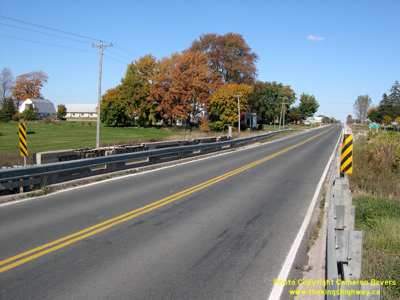
Left - Facing north along Hwy 23 towards Listowel at the Thames River Tributary Bridge north of Mitchell. See an
Enlarged Photo Here. (Photograph taken on October 18, 2008 - © Cameron Bevers) Right - A run of steel beam guide rail was recently installed across the Thames River Tributary Bridge on Hwy 23 in order to reinforce the spalled concrete handrail. See an Enlarged Photo Here. (Photograph taken on October 18, 2008 - © Cameron Bevers) 

Left - Close-up of the concrete handrail on the Thames River Tributary Bridge on Hwy 23. This was the typical handrail design used on nearly all concrete bridges built by the Department of Highways of Ontario (DHO) between 1924 and 1934. See an
Enlarged Photo Here. (Photograph taken on October 18, 2008 - © Cameron Bevers) Right - The old 1930 Thames River Tributary Bridge was replaced with a brand new structure in 2012. See an Enlarged Photo Here. (Photograph taken on October 18, 2008 - © Cameron Bevers) 
Above - End of the concrete handrail of the Thames River Tributary Bridge. Note the old Bell Telephone sign on the concrete handrail. See an
Enlarged Photo Here. (Photograph taken in October 2002 - © Cameron Bevers) 
Above - Close-up of the old porcelain Bell Telephone sign on the Thames River Tributary Bridge on Hwy 23. (Photograph taken on May 24, 2003 - © Cameron Bevers) 

Left - Traces of an old 1930s-era curve diversion can still be seen in a field beside Hwy 23 south of Monkton. See an
Enlarged Photo Here. (Photograph taken on October 18, 2008 - © Cameron Bevers) Right - Another view of the old Hwy 23 alignment south of Monkton. Although the pavement was removed decades ago, the grading for the superelevated curve is still quite apparent in this photo. The DHO constructed hundreds of these small corner diversions on the King's Highways during the 1930s and 1940s as highways were reconstructed to accommodate high-speed through traffic. The current highway lies just to the east. See an Enlarged Photo Here. (Photograph taken on October 18, 2008 - © Cameron Bevers) 

Left - Facing east along Maddison Street (Hwy 23) in Monkton. At the intersection, Hwy 23 turns left and resumes its route north towards Listowel. See an
Enlarged Photo Here. (Photograph taken on October 18, 2008 - © Cameron Bevers) Right - Facing west along Maddison Street (Hwy 23) from Winstanley Street in Monkton. Hwy 23 briefly heads west out of Monkton via Maddison Street, before bending to the south on its route towards Mitchell. See an Enlarged Photo Here. (Photograph taken on October 18, 2008 - © Cameron Bevers) 

Left - View of Winstanley Street (Hwy 23) in Monkton, facing north towards Listowel. Monkton lies about half-way between Mitchell and Listowel. See an
Enlarged Photo Here. (Photograph taken on October 18, 2008 - © Cameron Bevers) Right - Maitland River Tributary Bridge on Hwy 23, facing north towards Listowel. See an Enlarged Photo Here. (Photograph taken on October 18, 2008 - © Cameron Bevers) 

Left - Structure identification number and date stamp (1967) on the Maitland River Tributary Bridge on Hwy 23. See an
Enlarged Photo Here. (Photograph taken on October 18, 2008 - © Cameron Bevers) Right - Western side of the Maitland River Tributary Bridge on Hwy 23, located about 4 km north of Monkton. See an Enlarged Photo Here. (Photograph taken on October 18, 2008 - © Cameron Bevers) 

Left - Eastern side of the Maitland River Tributary Bridge on Hwy 23. This three-span continuous concrete girder structure was completed in 1967. See an
Enlarged Photo Here. (Photograph taken on October 18, 2008 - © Cameron Bevers) Right - Facing north along Hwy 23 towards Listowel from the Maitland River Tributary Bridge. See an Enlarged Photo Here. (Photograph taken on October 18, 2008 - © Cameron Bevers) 

Left - Eastern side of the Maitland River Bridge on Hwy 23 in Listowel. (Photograph taken on May 25, 2003 - © Cameron Bevers) Right - Western side of the Maitland River Bridge on Hwy 23 in Listowel. This single-span concrete rigid frame structure was completed in 1964. (Photograph taken on May 25, 2003 - © Cameron Bevers) 
Above - Facing south along Hwy 23 towards Mitchell at the Maitland River Bridge in Listowel. (Photograph taken on May 25, 2003 - © Cameron Bevers)
Continue on to King's Highway 23 Photos: Listowel to Harriston
|
|---|
Links to Adjacent King's Highway Photograph Pages:
Back to Hwy 23 - Historical Photos & Elginfield to Mitchell Photos
Hwy 23 Photo Index
On to Hwy 23 - Listowel to Harriston
Back to King's Highway 22 Photos /
King's Highway 23 History /
On to King's Highway 24 Photos
Ontario Highway History - Main Menu / Back to List of Highways Website contents, photos & text © 2002-2026, Cameron
Bevers (Webmaster) - All Rights Reserved / Contact Me
|
|---|