
| 
| |
|
|
This page contains historical and present day photos of Ontario's King's Highway 29. All photographs displayed on this page were taken by the Webmaster (Cameron
Bevers), unless specifically noted otherwise. Please note that King's Highway 29 once extended from Brockville northerly to Arnprior, but the northern section of the
highway from Smiths Falls to Arnprior was later renumbered as King's Highway 15. For the purposes of organization, all historical photos pertaining to King's Highway
29 are listed on this page regardless of location. Present day photos of the renumbered section of King's Highway 29 between Smiths Falls and Arnprior are located on
the King's Highway 15 Photos Page. Historical photographs are arranged in approximate chronological
order, while present day photographs (Year 2000 to date) are arranged by location from south to north. Click on any thumbnail to see a larger image!
Please note that all photographs displayed on this
website are protected by copyright. These photographs must not be reproduced, published,
electronically stored or copied, distributed, or posted onto other websites without
my written permission. If you want to use photos from this website, please
email me first for permission. Thank-you!
|
|---|
|
Historical King's Highway 29 Photographs


Left - Asphalt surface on Hwy 29 south of Smiths Falls (1943) (Photo courtesy of Ontario Ministry of Transportation - © King's Printer for Ontario, 1943) Right - Henninger Construction Company crew laying hot-mix asphalt pavement on Hwy 29 (now Hwy 15) between Smiths Falls and Franktown. Photo taken on September 25, 1946. (Photo courtesy of Ontario Ministry of Transportation - © King's Printer for Ontario, 1946) 

Left - Widening a rock cut on Hwy 29 (now Hwy 15) 3 miles north of Smiths Falls by Henninger Construction Company. Photo taken on September 25, 1946. (Photo courtesy of Ontario Ministry of Transportation - © King's Printer for Ontario, 1946) Right - Rolling hot-mix asphalt pavement on Hwy 29 (now Hwy 15) between Smiths Falls and Franktown. Photo taken on September 25, 1946. (Photo courtesy of Ontario Ministry of Transportation - © King's Printer for Ontario, 1946) 

Left - Completed hot-mix asphalt surface on Hwy 29 (now Hwy 15) between Smiths Falls and Franktown. Photo taken on September 25, 1946. (Photo courtesy of Ontario Ministry of Transportation - © King's Printer for Ontario, 1946) Right - Junction of Hwy 15 & Hwy 29 near Carleton Place, facing south towards Smiths Falls. Ottawa-bound traffic forked to the left via Hwy 15 (now Hwy 7), while Kingston-bound traffic continued straight ahead via Hwy 29 (now Hwy 15). Click here to see a Present Day Photo of this highway junction. Photo taken on September 28, 1946. (Photo courtesy of Ontario Ministry of Transportation - © King's Printer for Ontario, 1946) 
Above - Exterior view of the Regent Theatre on King Street (Hwy 2) at Perth Street in Downtown Brockville in 1947. Although the signs are unfortunately facing
the other way, the backs of three King's Highway shields (Hwy 2, Hwy 29 & Hwy 42) mark the former junction of these highways at the intersection of King Street
and Perth Street. Several years after this photo was taken, Hwy 29 & Hwy 42 were both rerouted through Brockville so that these highways passed through Courthouse
Square rather than follow Perth Street north out of the city centre. See an Enlarged Photo Here.
Photo taken in 1947. (Photo © Archives of Ontario - Series RG-56-11, Photo #I-0027263) 
Above - Entrance to the Department of Highways' Roadside Park at the Hwy 44 & Hwy 29 Junction (later Hwy 15) in Almonte in 1948. The Almonte DHO Roadside
Park had a 10-acre wooded campground, cooking stoves and washrooms for the convenience of motorists using area highways. Administration of the roadside park was
eventually transferred from the DHO to the Town of Almonte (now part of the Municipality of Mississippi Mills). The former Almonte DHO Roadside Park was situated
immediately adjacent to the Hwy 44 Junction in the northwest corner of the present-day Gemmill Park. Photo taken on September 11, 1948. (Photo courtesy of Ontario Ministry of Transportation - © King's Printer for Ontario, 1948) 
Above - Outdated railway subway on Hwy 29 (now Hwy 15) in Smiths Falls in 1958. Narrow, low clearance railway subways such as this one were quite common on
Ontario's highways until the 1960s. The Smiths Falls Subway was replaced with a new four-lane subway with an improved vertical clearance in 1969. See an
Enlarged Photo here. (Photo courtesy of Ontario Ministry of Transportation - © King's Printer for Ontario, 1958) 
Above - Circa 1960 postcard view of King Street (Hwy 2) in Downtown Brockville, facing east at Court House Avenue (Hwy 29 & Hwy 42). See an
Enlarged Photo Here. (Photo courtesy of Rideau Air Photos) 
Above - View of the Brockville Bypass (Hwy 401) facing west towards Kingston from the Hwy 29 & Hwy 42 (Stewart Boulevard) Interchange in Brockville in
1960. This photo was taken shortly after the north (westbound) carriageway of Hwy 401 was completed and opened to traffic on September 16, 1960. Previously, both
directions of traffic used the south (eastbound) carriageway. See an Enlarged Photo Here.
Photo taken in 1960. (Photo courtesy of Ontario Ministry of Transportation - © King's Printer for Ontario, 1960) 
Above - Resurfacing operations on Hwy 15 & Hwy 29 south of Carleton Place (1963) (Photo courtesy of Ontario Ministry of Transportation - © King's Printer for Ontario, 1963) 
Above - Circa 1965 postcard view of King Street (Hwy 2) in Downtown Brockville, facing east towards the Hwy 29 & Hwy 42 Junction. See an
Enlarged Photo Here. Photo taken circa 1965. (Photo courtesy of the Gananoque Reporter) 

Left - Circa 1968 postcard view of Bridge Street (Hwy 7B & Hwy 29, later known as Hwy 15) in Downtown Carleton Place. See an
Enlarged Photo Here. (Photograph courtesy of Len Leiffer) Right - Circa 1968 postcard view of the Mississippi River in Carleton Place, as seen from Bridge Street (Hwy 7B & Hwy 29, later known as Hwy 15). See an Enlarged Photo Here. (Photograph courtesy of Len Leiffer) |
|---|
|
Present Day King's Highway 29 Photographs


Left - Culvert on Old Hwy 29 alignment at Toledo - "ONTARIO PROVINCIAL HIGHWAY 1928". See an
Enlarged Photo here. (Photograph taken on May 21, 2005 - © Cameron Bevers) Right - An abandoned curve on Hwy 29 disappears into a wood lot near Toledo. See an Enlarged Photo here. (Photograph taken on May 21, 2005 - © Cameron Bevers) 

Left - View of Hwy 29 north of Forthton. Note the abandoned highway alignment at right. See an
Enlarged Photo here. (Photograph taken on May 21, 2005 - © Cameron Bevers) Right - Close-up of the abandoned curve on Hwy 29 north of Forthton. See an Enlarged Photo here. (Photograph taken on May 21, 2005 - © Cameron Bevers) 

Left - Abandoned Hwy 29 alignment north of Forthton. Note the narrow lane widths. See an
Enlarged Photo here. (Photograph taken on May 21, 2005 - © Cameron Bevers) Right - Green guide sign for Hwy 29 at the end of Hwy 42 at Forthton. See an Enlarged Photo here. (Photograph taken on May 21, 2005 - © Cameron Bevers) 
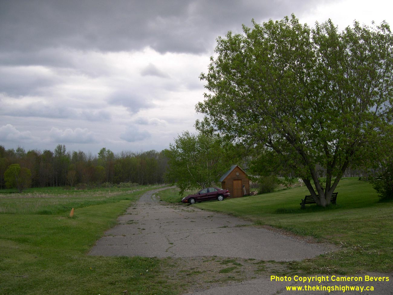
Left - Abandoned Hwy 29 alignment near Forthton. Many sections of Hwy 29 between Brockville and Smiths Falls have been relocated over the years in an effort to
improve the highway's alignment. See an Enlarged Photo here. (Photograph taken on May 21, 2005 - © Cameron Bevers) Right - This abandoned section of Hwy 29 between Spring Valley and Forthton is now a private driveway. See an Enlarged Photo here. (Photograph taken on May 21, 2005 - © Cameron Bevers) 

Left - Facing south towards Brockville along the abandoned Hwy 29 alignment near Spring Valley. See an
Enlarged Photo here. (Photograph taken on May 21, 2005 - © Cameron Bevers) Right - The Golden Creek Diversion near Spring Valley was one of the lengthier sections of Hwy 29 to be bypassed. The abandoned section of Hwy 29 at right was bypassed by a new highway alignment, which was built at a higher elevation to reduce the risk of Hwy 29 flooding in the valley. See an Enlarged Photo here. (Photograph taken on May 21, 2005 - © Cameron Bevers) 

Left - Date stamp (1928) on a culvert on the abandoned Hwy 29 alignment at Spring Valley. See an
Enlarged Photo here. (Photograph taken on May 21, 2005 - © Cameron Bevers) Right - The abandoned section of Hwy 29 near Spring Valley emerges from the forest at Golden Creek. See an Enlarged Photo here. (Photograph taken on May 21, 2005 - © Cameron Bevers) 

Left - Golden Creek Culvert on the abandoned section of Hwy 29 near Spring Valley - "THE KINGS HIGHWAY 1930". See an
Enlarged Photo here. (Photograph taken on May 21, 2005 - © Cameron Bevers) Right - Abandoned section of Hwy 29 near Spring Valley, facing south towards Brockville. See an Enlarged Photo here. (Photograph taken on May 21, 2005 - © Cameron Bevers) 

Left - Hwy 29 Overpass on Hwy 401 at Brockville. Structure completed in 1958. (Photograph taken on July 31, 2005 - © Cameron Bevers) Right - Western side of the Hwy 29 Overpass on Hwy 401 at Brockville. (Photograph taken on July 31, 2005 - © Cameron Bevers) 

Left - Facing west along Hwy 401 towards Gananoque from the Hwy 29 Overpass. (Photograph taken on July 31, 2005 - © Cameron Bevers) Right - Facing east along Hwy 401 towards Cornwall from the Hwy 29 Overpass. (Photograph taken on July 31, 2005 - © Cameron Bevers) 
Above - Old "TO 401" trailblazer marker on Hwy 29 in Brockville. (Photograph taken on July 31, 2005 - © Cameron Bevers)
More King's Highway 29 Photographs Coming Soon!
|
|---|
Links to Adjacent King's Highway Photograph Pages:
Back to King's Highway 28 Photos /
King's Highway 29 History /
On to King's Highway 30 Photos
Ontario Highway History - Main Menu / Back to List of Highways Website contents, photos & text © 2002-2026, Cameron
Bevers (Webmaster) - All Rights Reserved / Contact Me
|
|---|