
| 
| |
|
|
This page contains present day photos (Year 2005 to date) of Ontario's King's Highway 2, arranged by location from
Brockville easterly to Iroquois. All photographs displayed on this page were taken by the Webmaster (Cameron Bevers), unless specifically noted otherwise. Click on
any thumbnail to see a larger image!
Please note that all photographs displayed on this
website are protected by copyright. These photographs must not be reproduced, published,
electronically stored or copied, distributed, or posted onto other websites without
my written permission. If you want to use photos from this website, please
email me first for permission. Thank-you!
|
|---|
|
Page 20: Present Day King's Highway 2 Photographs (Brockville to Iroquois)
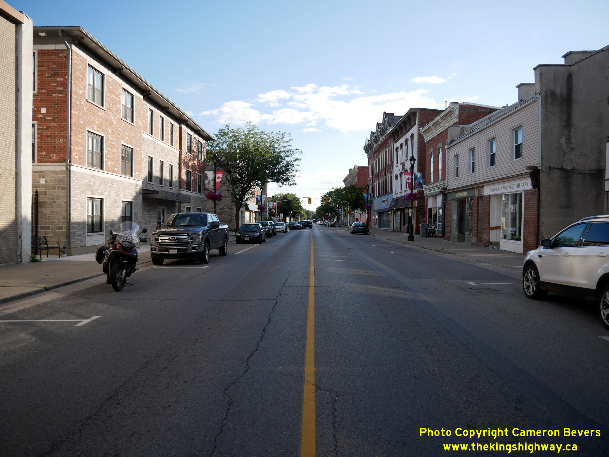
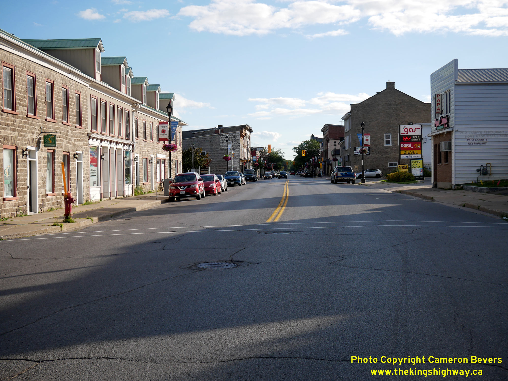
Left - Facing west along King Street (Hwy 2) towards Centre Street in Downtown Prescott. At one time, a ferry service connected Ontario to New York State
across the St. Lawrence River. Until the completion of the nearby Ogdensburg-Prescott International Bridge in 1960, traffic heading south to the United States from
Prescott had to rely on this ferry service. The old ferry dock was located at the end of Centre Street. The only nearby alternatives to the ferry involved a
substantial detour to reach the Thousand Islands-Ivy Lea International Bridge or cross the St. Lawrence River in Cornwall. See an
Enlarged Photo Here. (Photograph taken on July 30, 2022 - © Cameron Bevers) Right - View of King Street (Hwy 2) in Downtown Prescott, facing east towards Edward Street. See an Enlarged Photo Here. (Photograph taken on July 30, 2022 - © Cameron Bevers) 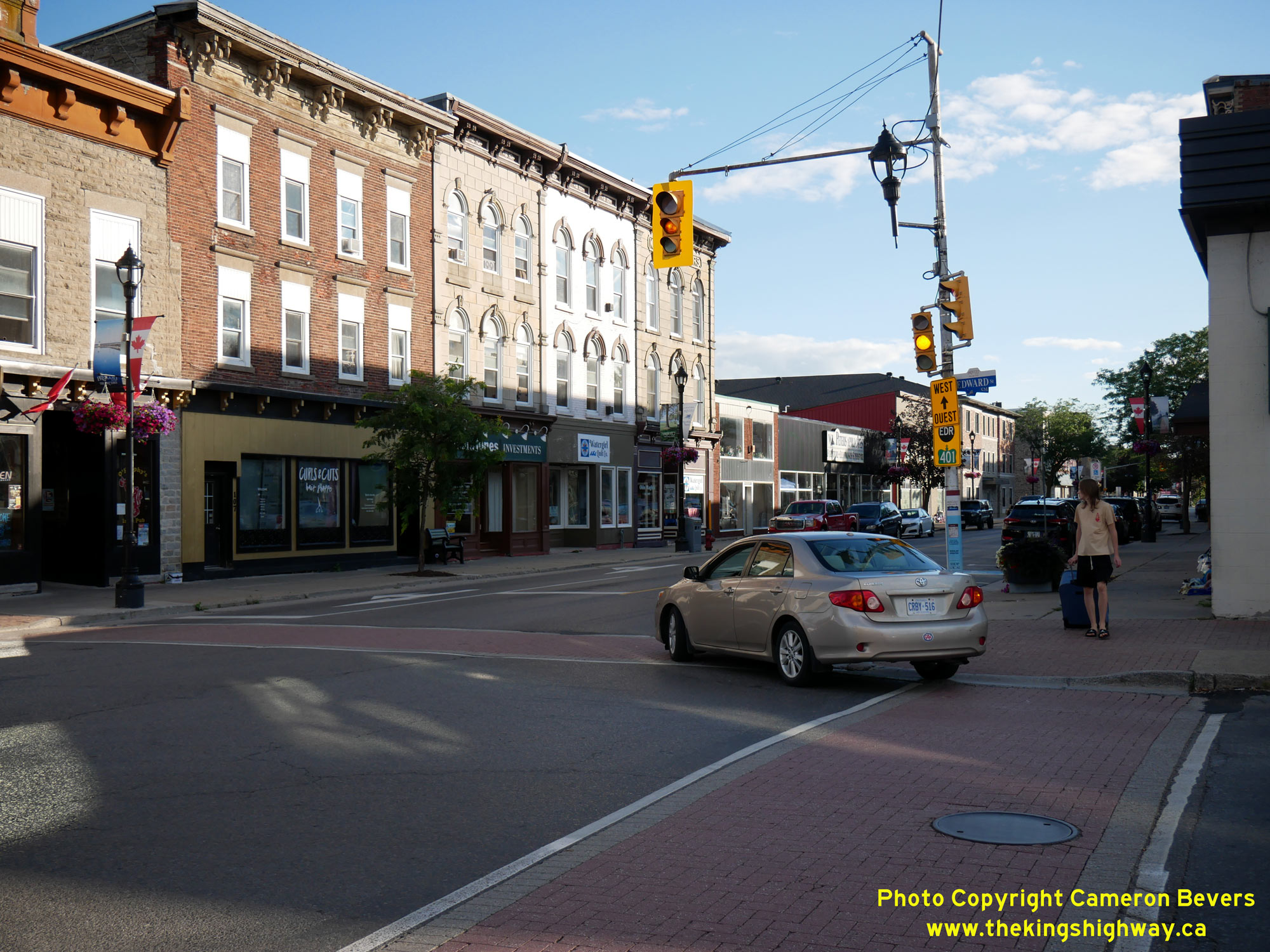
Left - A very old set of traffic signals still stands on King Street (Hwy 2) at Edward Street in Prescott. Today, all traffic signals in Ontario must have two
traffic signal heads facing each direction of traffic. However, at one time, this wasn't a legal requirement. While traffic signals on provincial highways have always
had a minimum of two traffic signal heads, many municipalities originally built their traffic signals with only one traffic signal head. When the requirement came
about to install a second traffic signal head, some road authorities went about it by simply installing the "secondary" signal head on the same pole as the "primary"
signal head. The secondary signal head seen here was almost certainly a retrofit. See an
Enlarged Photo Here. (Photograph taken on July 30, 2022 - © Cameron Bevers) Right - The "cable-stayed" traffic signal mast arm seen at the Edward Street Intersection on King Street (Hwy 2) in Prescott likely dates from the 1940s. By the 1950s, newer traffic signal mast arm designs were introduced, with a steel bracket to stabilize the mast arm through a direct connection to the support pole. See an Enlarged Photo Here. (Photograph taken on July 30, 2022 - © Cameron Bevers) 
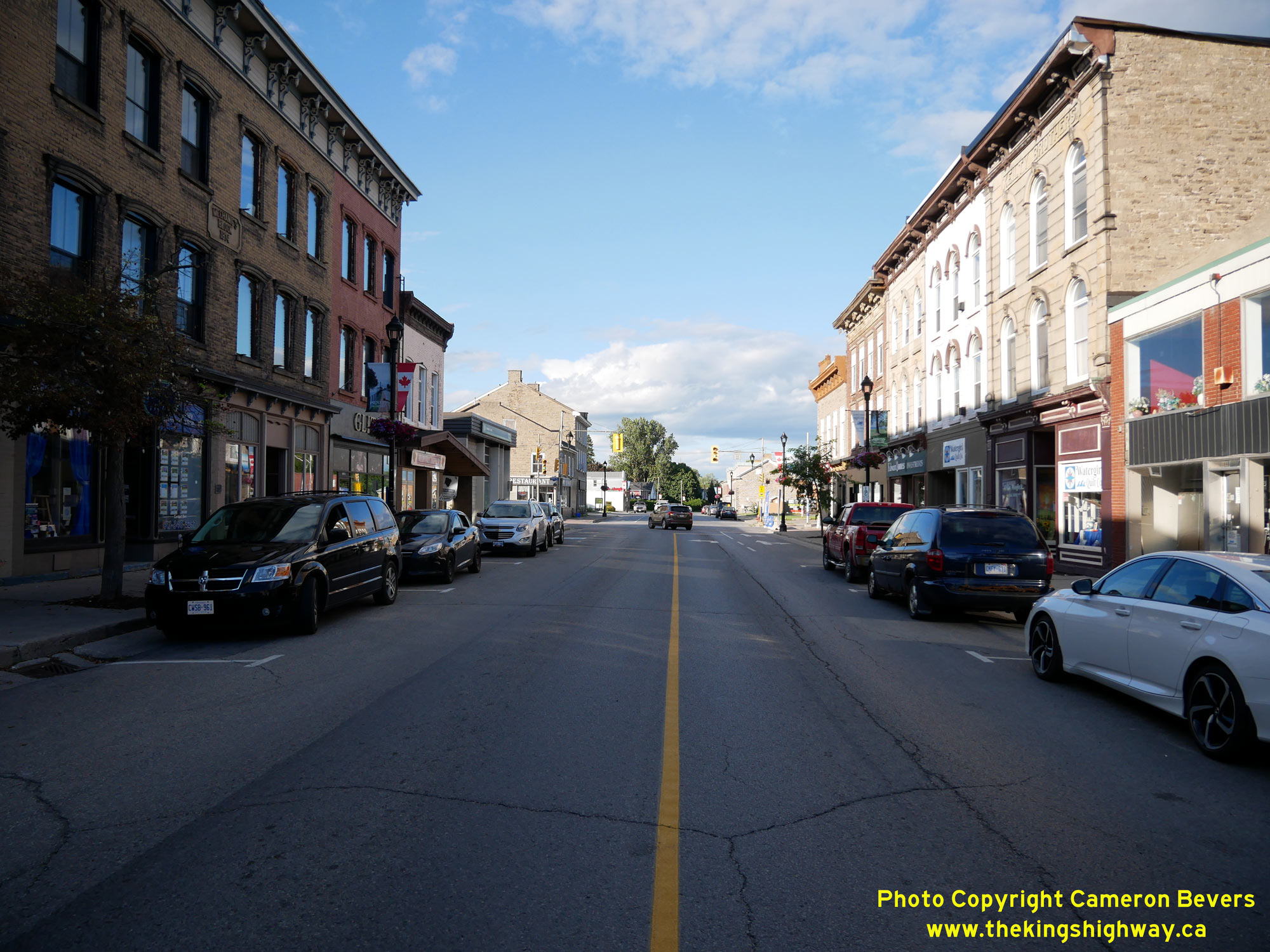
Left - Facing west along King Street (Hwy 2) at the intersection of Edward Street in Downtown Prescott. See an
Enlarged Photo Here. (Photograph taken on July 30, 2022 - © Cameron Bevers) Right - View of King Street (Hwy 2) at East Street in Prescott, facing west towards Edward Street. See an Enlarged Photo Here. (Photograph taken on July 30, 2022 - © Cameron Bevers) 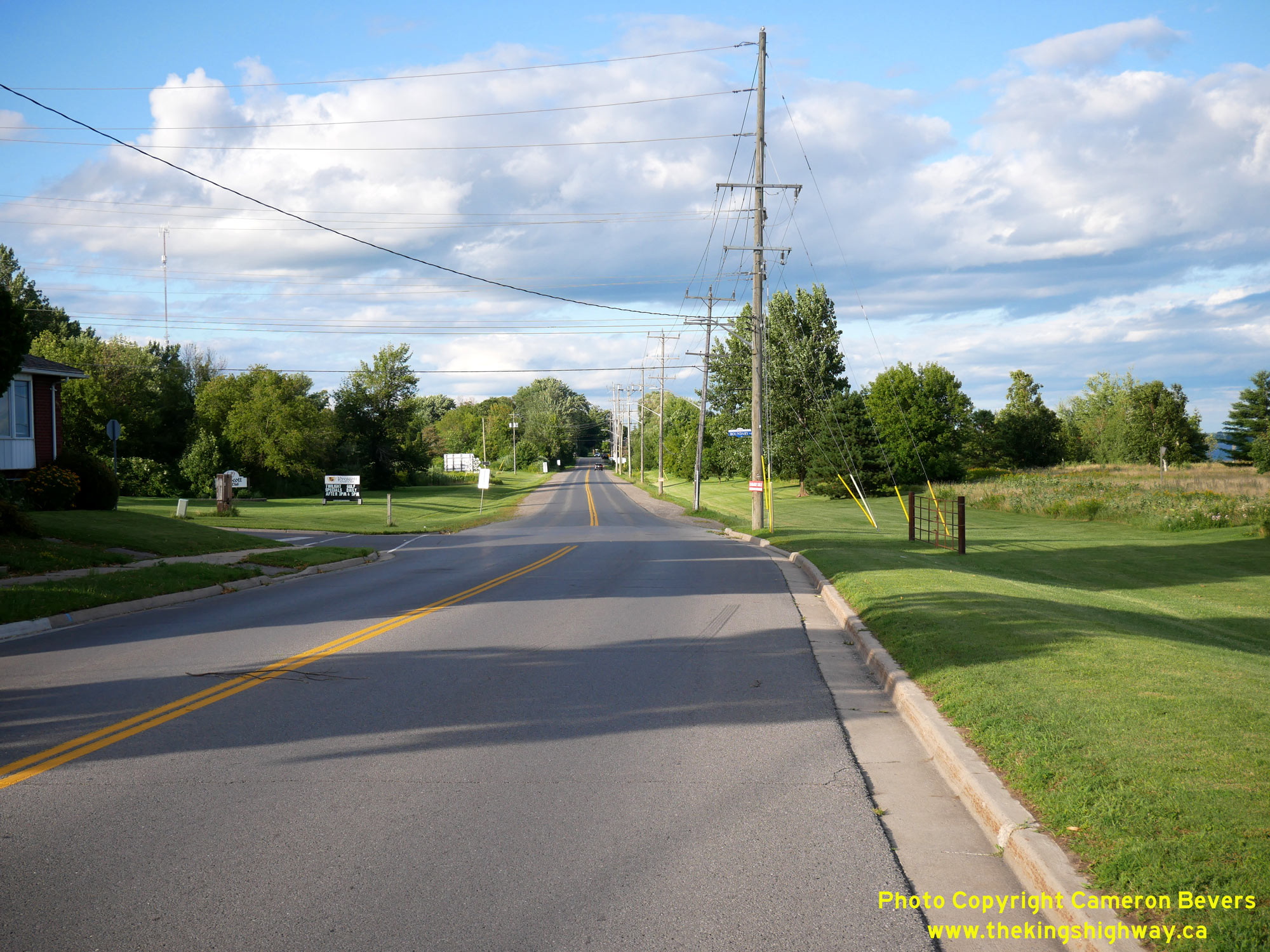
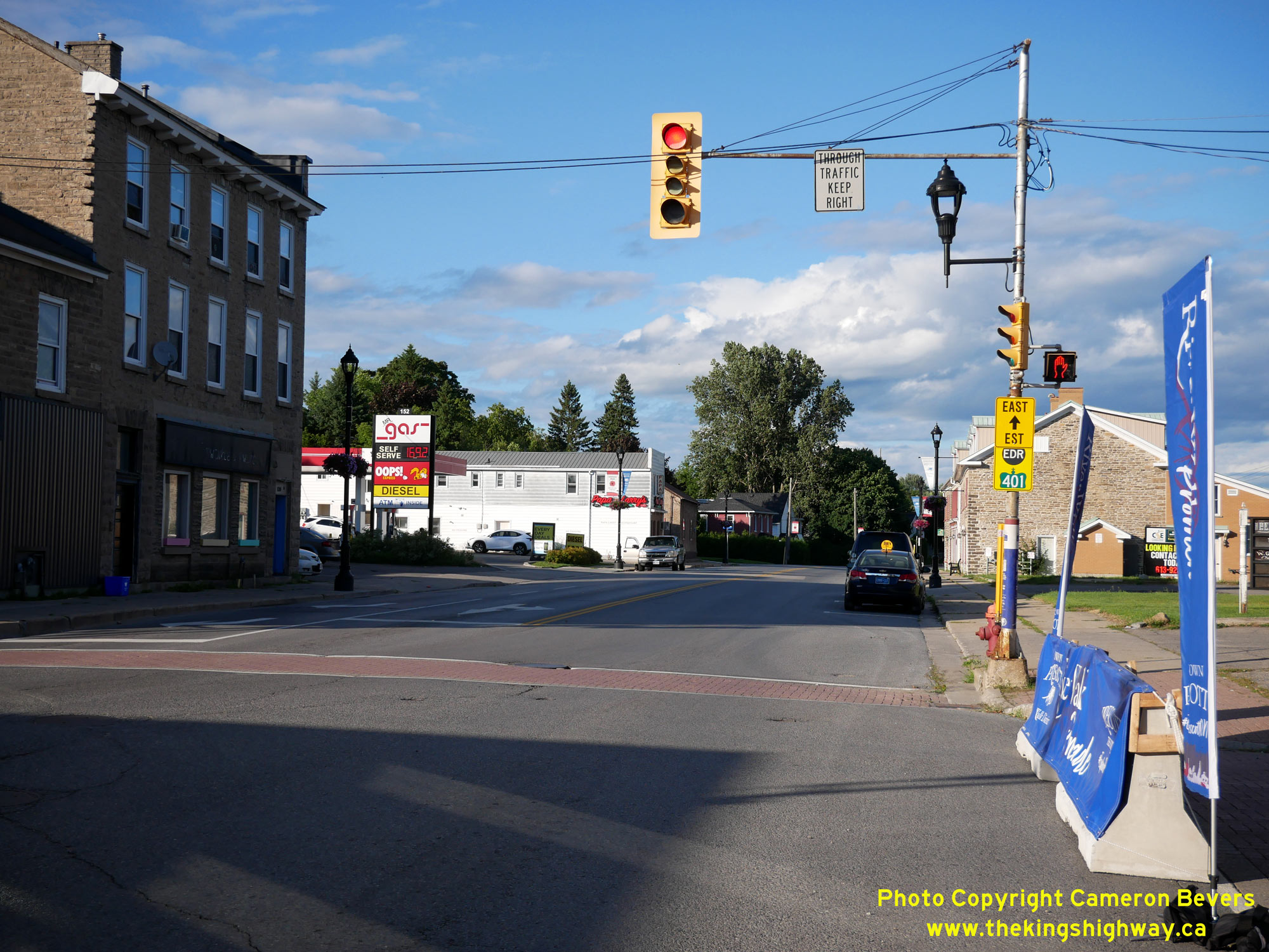
Left - Facing east along Hwy 2 from Boundary Street in Prescott. Although it was demolished decades ago, there was once a railway subway at the eastern
entrance to Prescott, which carried a spur line of the Canadian Pacific Railway (CPR) across Hwy 2 to Prescott's harbour. This structure had a very restrictive
vertical clearance of only 10 feet, 6 inches (3.2 metres), which proved to be a major impediment to truck traffic along Hwy 2. See an
Enlarged Photo Here. (Photograph taken on July 30, 2022 - © Cameron Bevers) Right - View of Hwy 2 at the eastern entrance to Prescott. This was once the site of the Old Prescott CPR Subway, with its restrictive 3.2-metre vertical clearance. The subway was built at a time when motor vehicles were uncommon on the roads. The vertical clearance of the subway was set to accommodate the vehicle dimensions of the day. However, as vehicles became larger, the subway proved to be a serious barrier for transport trucks, which had to detour onto other local roads to bypass it. The problem of truck detouring became so severe by the 1940s, that the Department of Highways of Ontario (DHO) actually accelerated construction of the Prescott Bypass section of Hwy 401. Construction began on the four-lane bypass highway in 1947, many years before the adjacent sections of Hwy 401 were built. The Prescott Bypass was completed between Edward Street and the Hwy 16 Junction north of Johnstown in 1948, initially as a gravel-surfaced highway with only the south carriageway opened. By 1955, about 1,400 vehicles per day were using the Prescott Bypass - most of them heavy trucks, in order to get around this low clearance railway subway. See an Enlarged Photo Here. (Photograph taken on July 30, 2022 - © Cameron Bevers) 
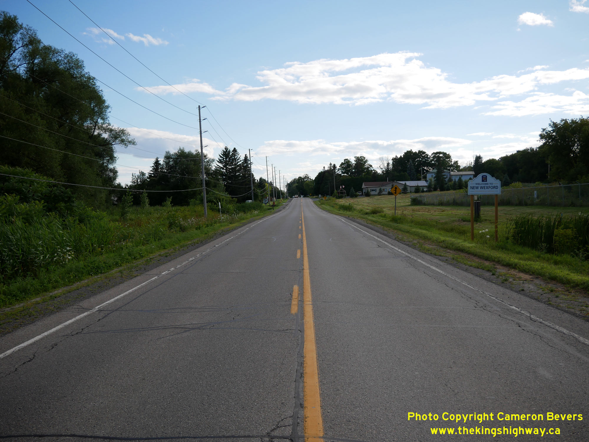
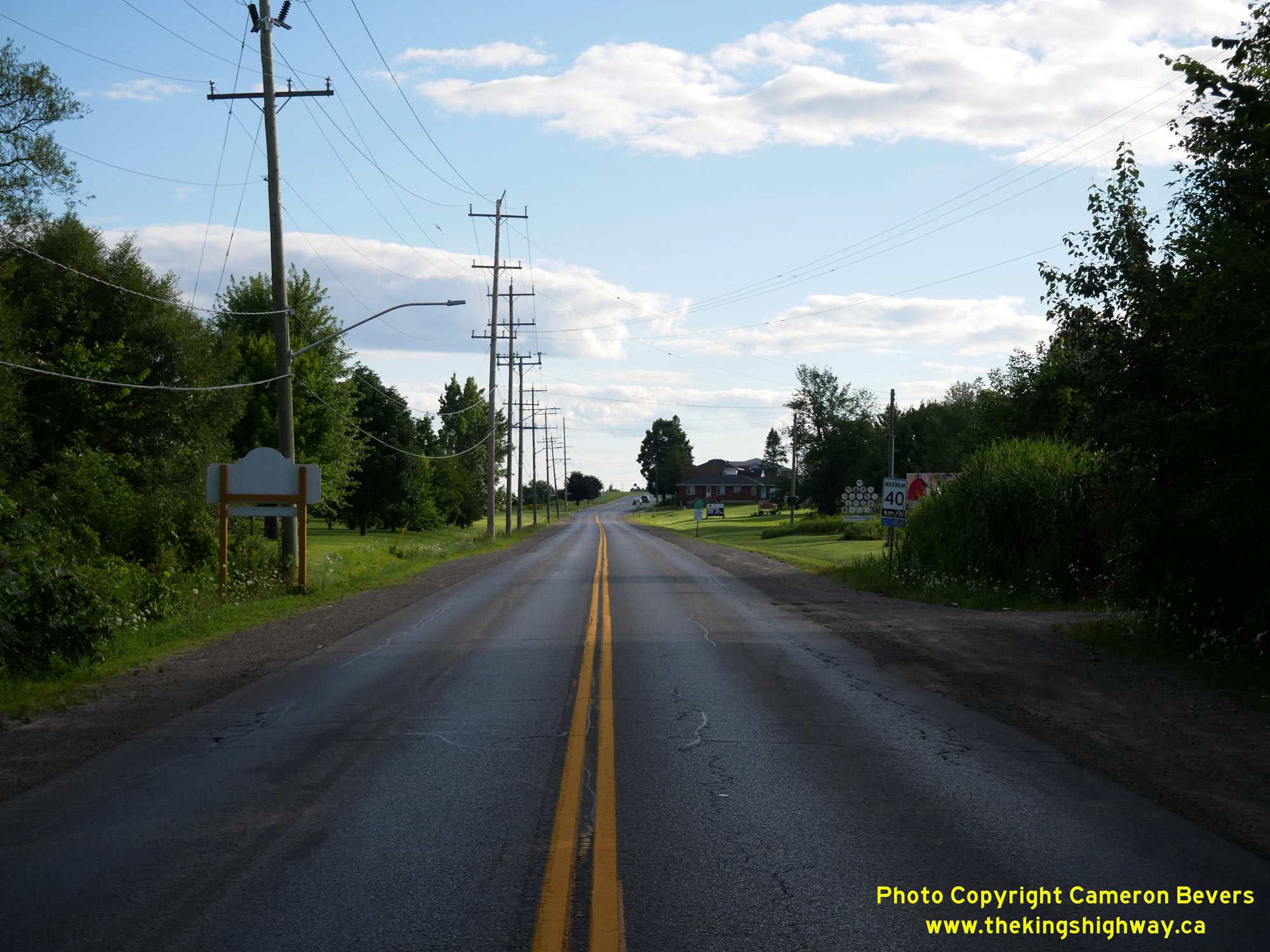
Left - Facing east along Hwy 2 at the eastern entrance to Prescott. Immediately east of Prescott, Hwy 2 passes through the small community of New Wexford. The
section of Hwy 2 between Prescott and Johnstown was the second-earliest section of Hwy 2 to be established. During the closing months of World War I, the province
assumed jurisdiction and control over the Ottawa-Prescott Road as a new provincial highway. The Department of Public Highways of Ontario (DPHO) took over this section
of Hwy 2 on August 15, 1918. See an Enlarged Photo Here. (Photograph taken on July 30, 2022 - © Cameron Bevers) Right - View of Hwy 2 at the eastern entrance to New Wexford, facing west towards Prescott. See an Enlarged Photo Here. (Photograph taken on July 30, 2022 - © Cameron Bevers) 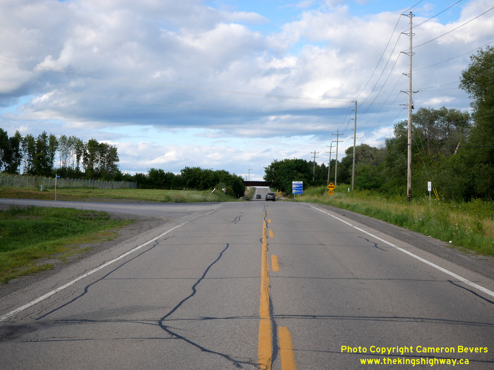
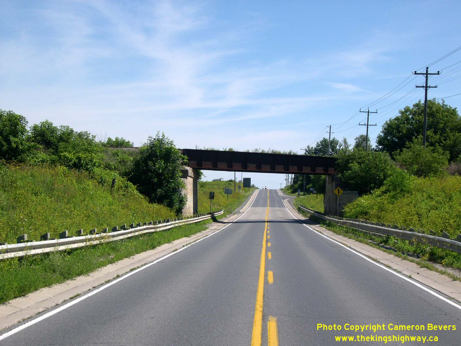
Left - Facing east along Hwy 2 from New Wexford. About 1 km east Prescott, Hwy 2 passes through a railway subway. See an
Enlarged Photo Here. (Photograph taken on July 30, 2022 - © Cameron Bevers) Right - Facing east along Hwy 2 through the Canadian National Railway (CNR) Subway between Prescott and Johnstown. This single-span steel plate girder structure was completed in 1930 along a diversion of Hwy 2. About 1 km of Hwy 2 was bypassed by the new diversion, which provided a shorter cut-off route across Windmill Point. See an Enlarged Photo Here. (Photograph taken on July 31, 2005 - © Cameron Bevers) 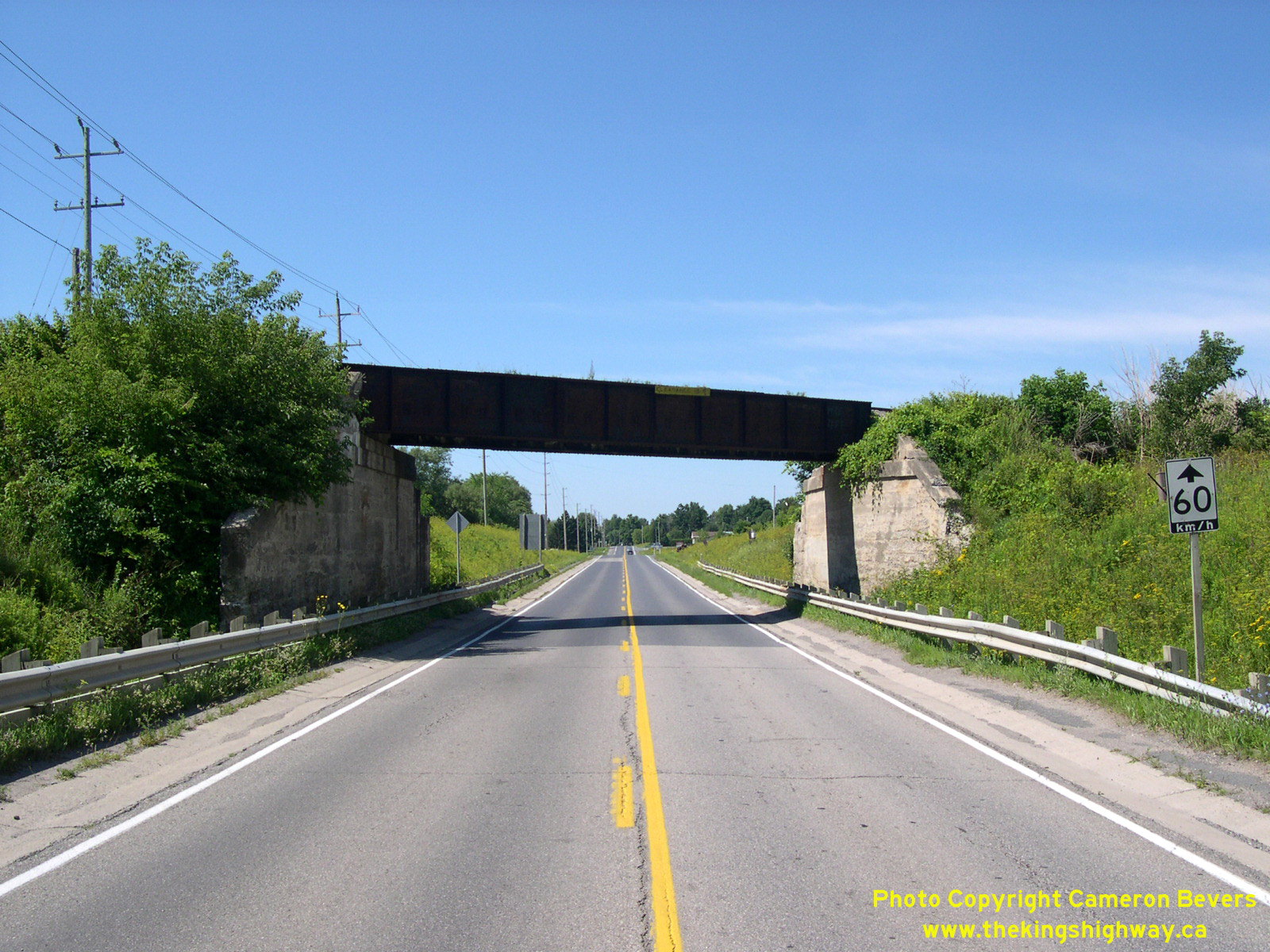

Left - Prescott CNR Subway (Site #16-133) on Hwy 2, facing west towards Prescott. See an
Enlarged Photo Here. (Photograph taken on July 31, 2005 - © Cameron Bevers) Right - Facing east along Hwy 2 towards Iroquois at the Johnstown Creek Bridge (Site #16-134). See an Enlarged Photo Here. (Photograph taken on July 30, 2022 - © Cameron Bevers) 

Left - Northern side of the Johnstown Creek Bridge on Hwy 2. This single-span pre-stressed concrete girder structure was completed in 1964. See an
Enlarged Photo Here. (Photograph taken on July 30, 2022 - © Cameron Bevers) Right - Facing west across the Johnstown Creek Bridge towards Prescott. Constructed under Contract #1964-34, this concrete bridge replaced a small steel beam structure built by the DPHO back in 1920. The completion of Hwy 401 through Eastern Ontario provided an opportunity to replace many narrow and obsolete bridges along Hwy 2, which had been built during the earliest years of the provincial highway system and had become functionally obsolete due to changing traffic patterns. Vehicles had become larger and heavier over the decades, and many older bridges were simply not designed to accommodate heavy traffic volumes. See an Enlarged Photo Here. (Photograph taken on July 30, 2022 - © Cameron Bevers) 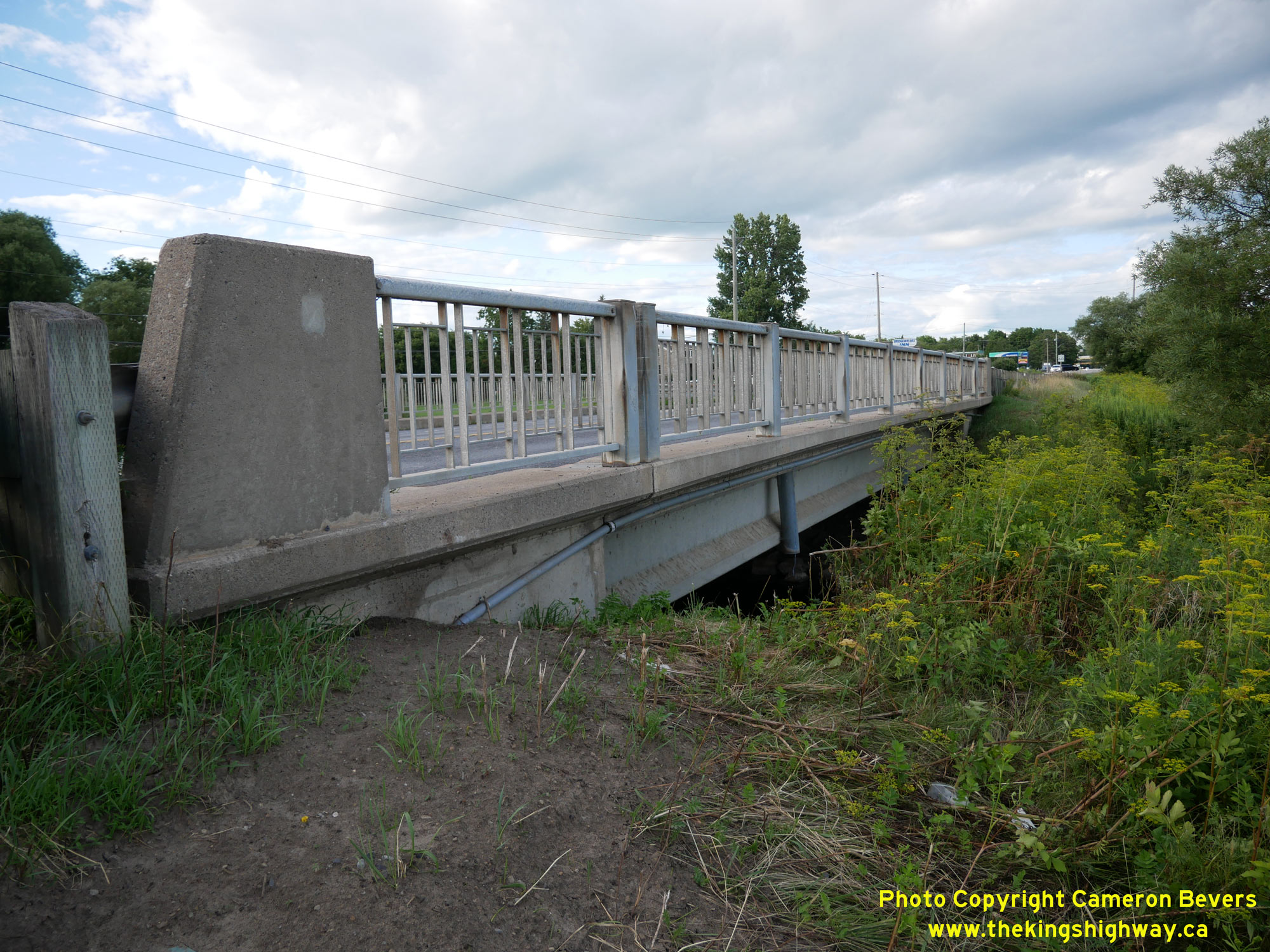
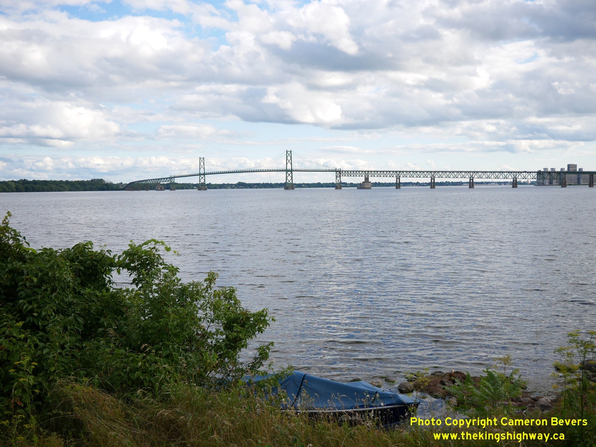
Left - Southern side of the Johnstown Creek Bridge on Hwy 2, located just west of the Hwy 16 Junction. See an
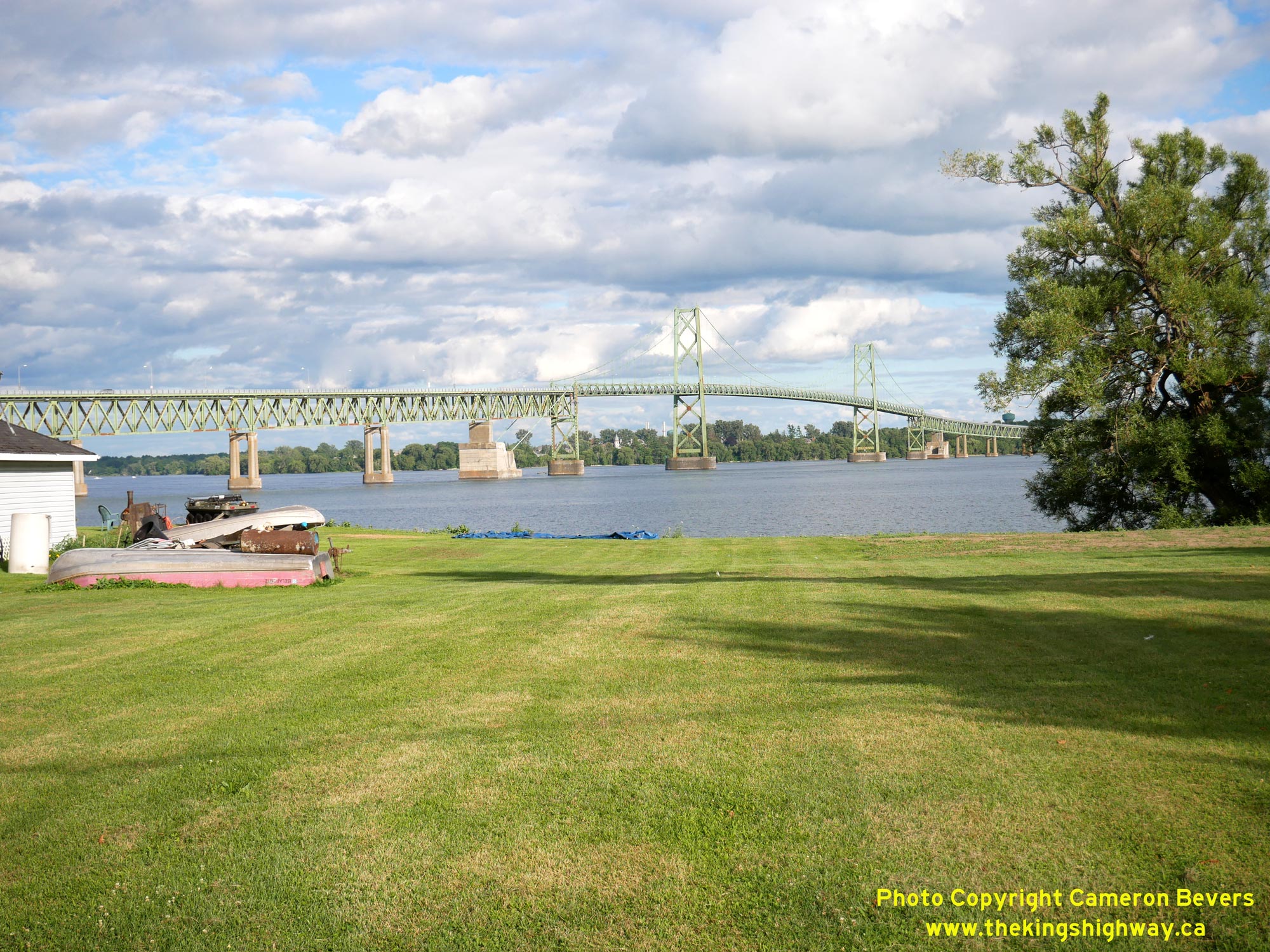
Enlarged Photo Here. (Photograph taken on July 30, 2022 - © Cameron Bevers) Right - Western side of the Ogdensburg-Prescott International Bridge across the St. Lawrence River. This bridge is one of three bridge crossings between Canada and the United States along the St. Lawrence River within Ontario. The other two bridges are located in Cornwall and in the Thousand Islands Region near Gananoque. Although it might look quite old due to its classic suspension bridge design, the Prescott-Ogdensburg International Bridge was actually completed and opened to traffic in September 1960. See an Enlarged Photo Here. (Photograph taken on July 30, 2022 - © Cameron Bevers) 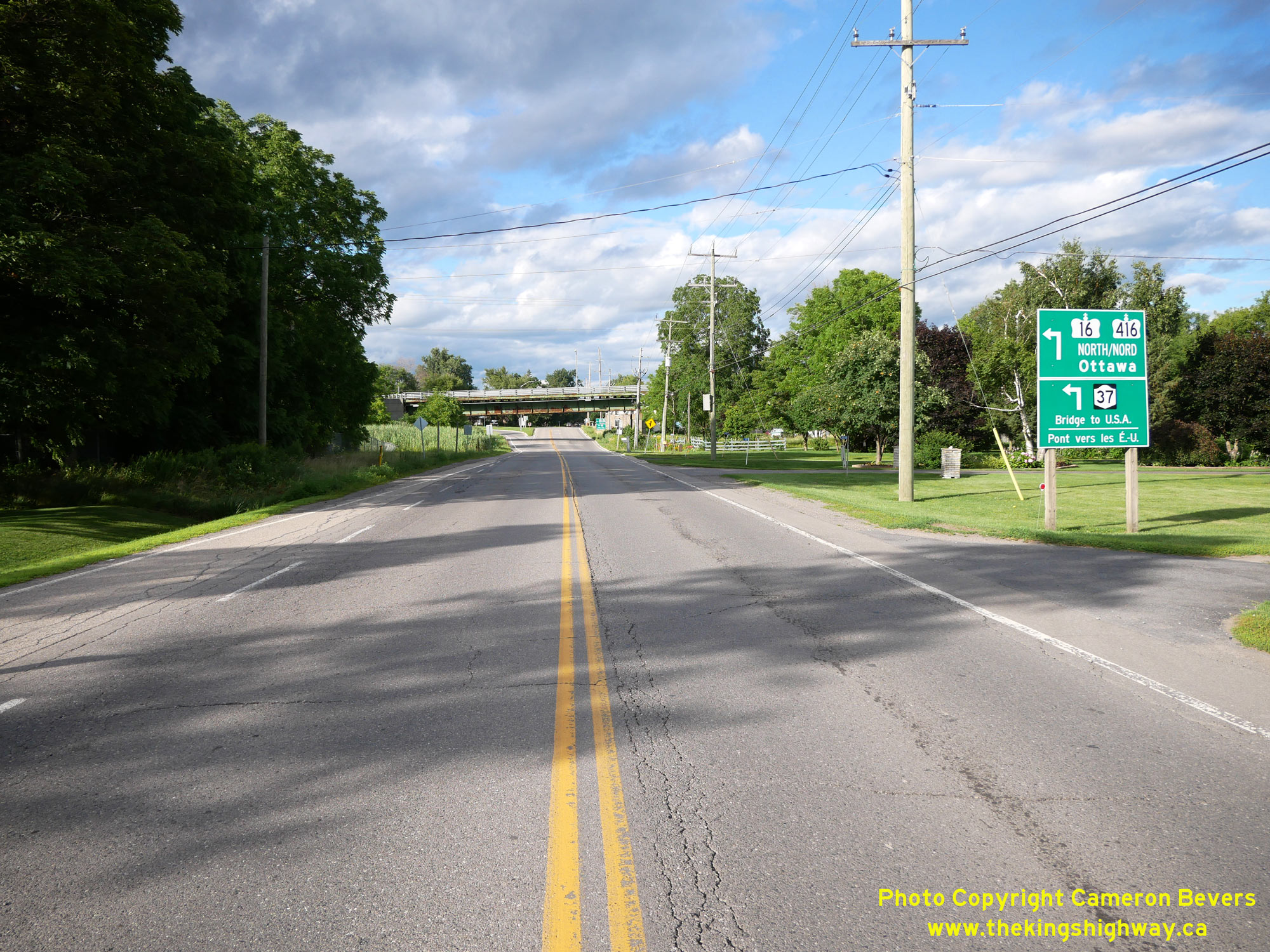
Left - View of Hwy 2 approaching the Hwy 16 Junction at Johnstown. The steel structure crossing Hwy 2 just before the Hwy 16 Junction is the approach to the
Ogdensburg-Prescott International Bridge. In addition to signing Hwy 16, Hwy 416 and New York State's Hwy 37 are also trailblazed at this highway junction. See an
Enlarged Photo Here. (Photograph taken on July 30, 2022 - © Cameron Bevers) Right - Facing east at the Hwy 2 & Hwy 16 Junction at Johnstown. At one time, this was a very important decision point in the King's Highway System, with Ottawa-bound traffic directed to turn left and follow Hwy 16. Through traffic bound for Cornwall and Montreal, Quebec was directed to continue east along Hwy 2. Since the 1960s, both Hwy 2 and Hwy 16 have been supplanted by new freeway routes (Hwy 401 and Hwy 416). Accordingly, this highway junction mostly caters to local traffic now. It no longer carries the long-distance through traffic it once did in decades past. Traffic volumes on Hwy 2 were substantially higher in the 1950s than they are today. See an Enlarged Photo Here. (Photograph taken on July 30, 2022 - © Cameron Bevers) 
Left - Facing west along Hwy 2 towards Prescott from the Hwy 16 Junction. Immediately west of Hwy 16, Hwy 2 passes below the Ogdensburg-Prescott International
Bridge (Site #16-182). Although unsigned, the vertical clearance below this structure was reported to be 14 feet, 6 inches (approximately 4.4 metres). See an
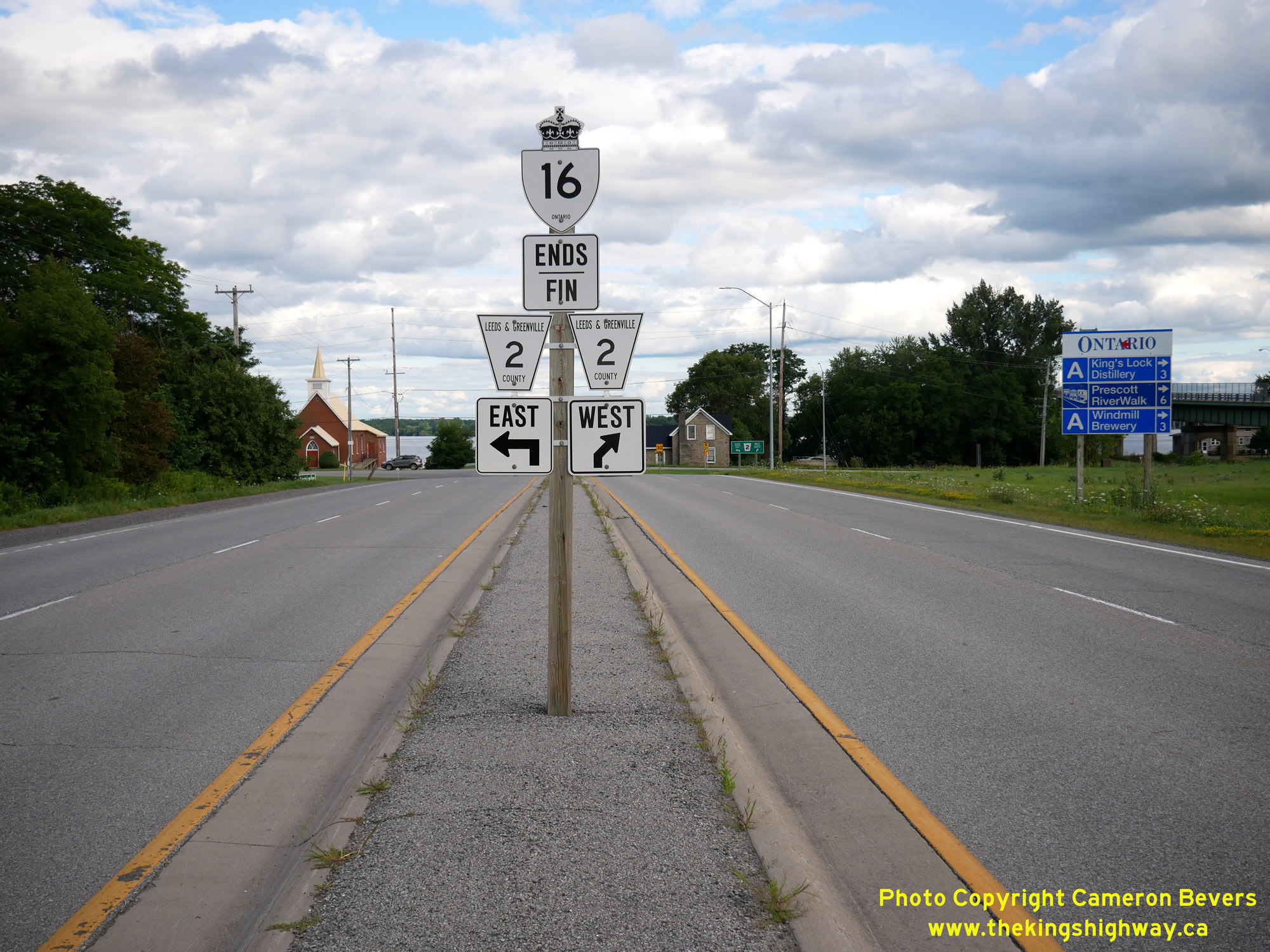
Enlarged Photo Here. (Photograph taken on July 30, 2022 - © Cameron Bevers) Right - Sign marking the end of Hwy 16 approaching the Hwy 2 Junction at Johnstown. Since this section of Hwy 16 connects to the Ogdensburg-Prescott International Bridge, it was retained in the provincial highway system during the mass transfer of provincial highways to municipalities during the 1990s. However, Hwy 2 was deemed to be redundant, as it very closely followed Hwy 401 for its entire route between Brockville and the Quebec Boundary. Accordingly, jurisdiction over Hwy 2 was transferred over to the municipal tier in 1997. Today, Hwy 2 through the Johnstown area is maintained by the United Counties of Leeds and Grenville. See an Enlarged Photo Here. (Photograph taken on July 30, 2022 - © Cameron Bevers) 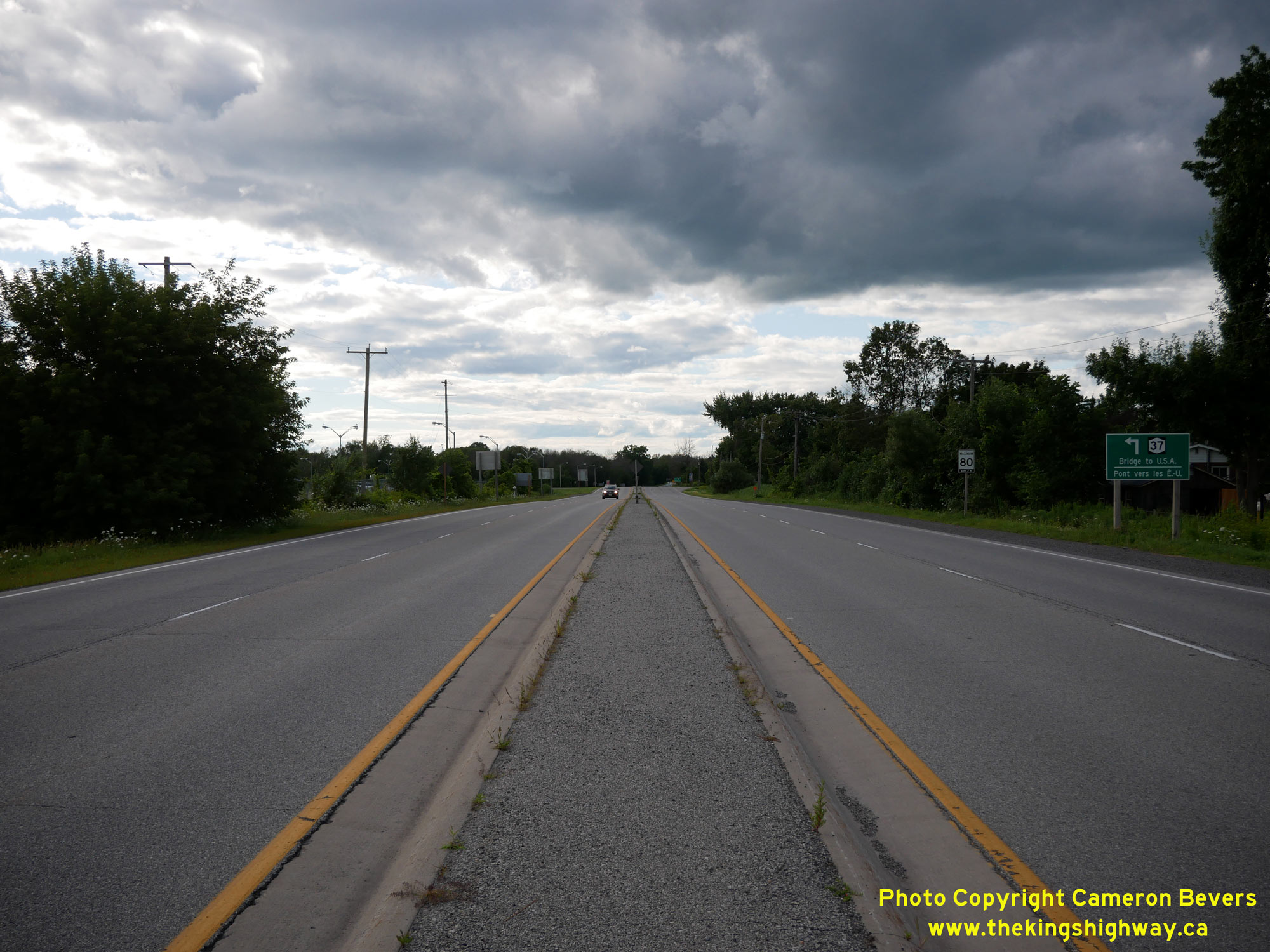
Left - Facing north along Hwy 16 towards Ottawa from the Hwy 2 Junction at Johnstown. Just ahead, traffic bound for the Ogdensburg-Prescott International
Bridge to New York State is directed to turn left from Hwy 16. About 1 mile of Hwy 16 was reconstructed as a four-lane divided highway in the early 1960s,
between the Hwy 2 Junction and the Hwy 401 Interchange. This highway reconstruction and widening project was built under Contract #1960-113, and included the
construction of a grade separation over the Canadian National Railway (CNR) on Hwy 16 and the completion of a full eight-ramp cloverleaf interchange at Hwy 401. Prior
to the construction of this interchange in 1960-1961, Hwy 16 and Hwy 401 met at an at-grade intersection. See an
Enlarged Photo Here. (Photograph taken on July 30, 2022 - © Cameron Bevers) Right - Approaching the Hwy 2 & Hwy 16 Junction at Johnstown, facing south. Although Hwy 16 was extensively reconstructed through Johnstown in the early 1960s, the highway junction itself remained in the same location as it always had been. Interestingly, this location was the very first provincial highway junction ever established on Ontario's Highway System. Prior to 1920, Ontario only had four provincial highways. One was the Ottawa-Prescott Highway (Hwy 16), one was the Hamilton-Queenston Highway (Hwy 8) and the last two were the London-Dundas and Toronto-Montreal Highways (which both later became parts of Hwy 2). Out of these various early provincial highway routes, the only two which directly connected to each other were Hwy 2 and Hwy 16 here at Johnstown. See an Enlarged Photo Here. (Photograph taken on July 30, 2022 - © Cameron Bevers) 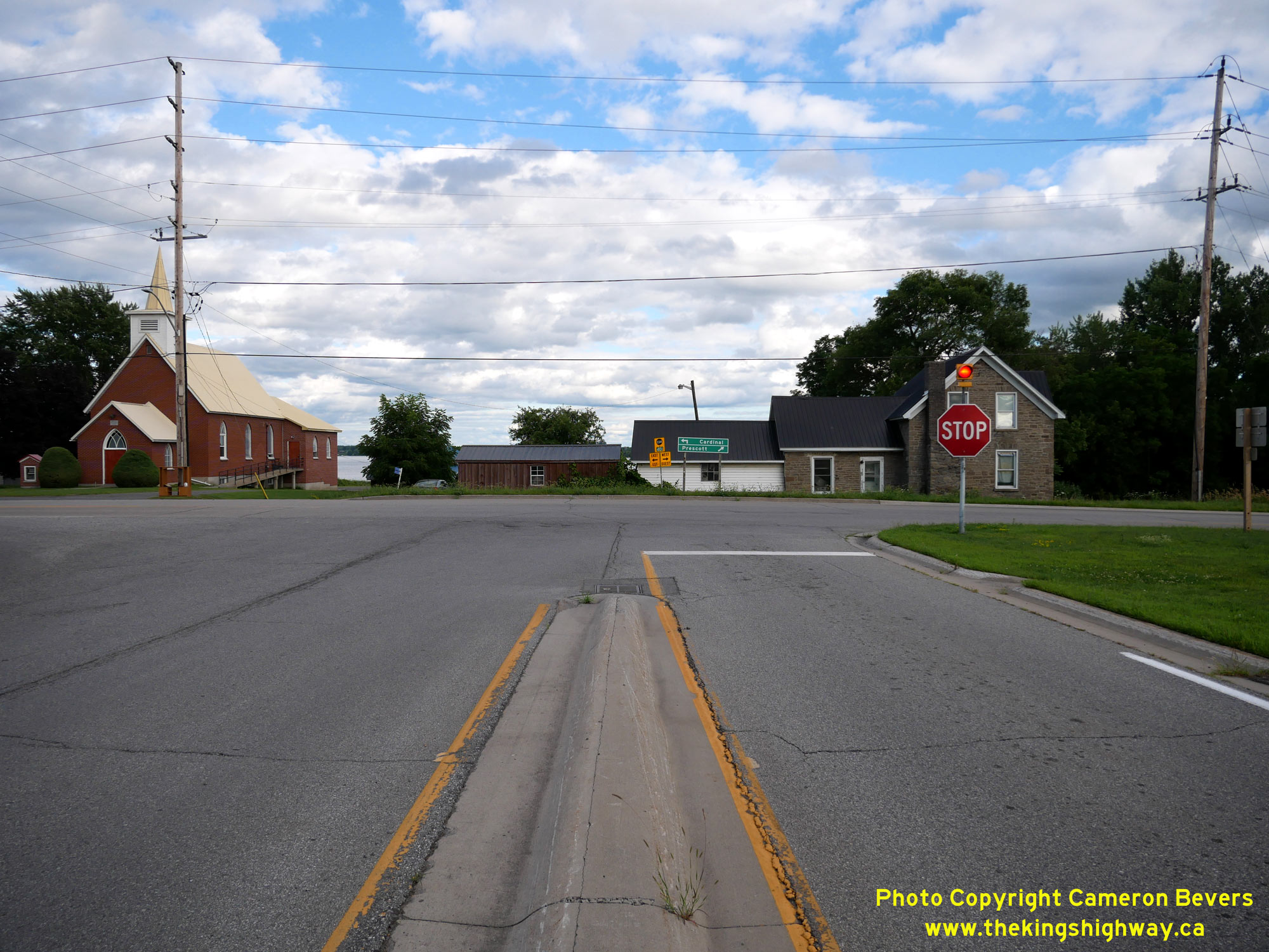
Left - Southern terminus of Hwy 16 at the Hwy 2 Junction at Johnstown. When the Ottawa-Prescott Highway was first assumed by the province in 1918, the highway
turned right at this intersection and headed westerly for about 3 1/2 miles to Prescott. The highway junction at Johnstown was created the following year, when the
province assumed jurisdiction over the intersecting Johnstown-Montreal Road via Cornwall as part of a new provincial highway. See an
Enlarged Photo Here. (Photograph taken on July 30, 2022 - © Cameron Bevers) Right - Facing west along Hwy 2 towards Prescott at the Hwy 16 Junction at Johnstown. See an Enlarged Photo Here. (Photograph taken on July 30, 2022 - © Cameron Bevers) 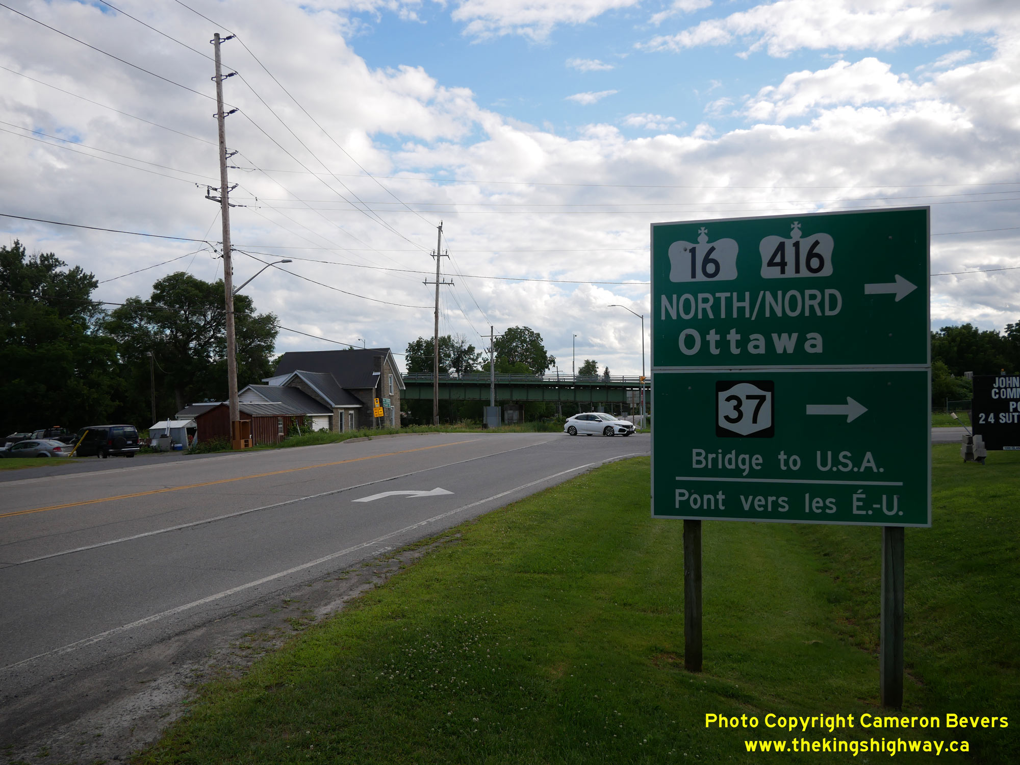
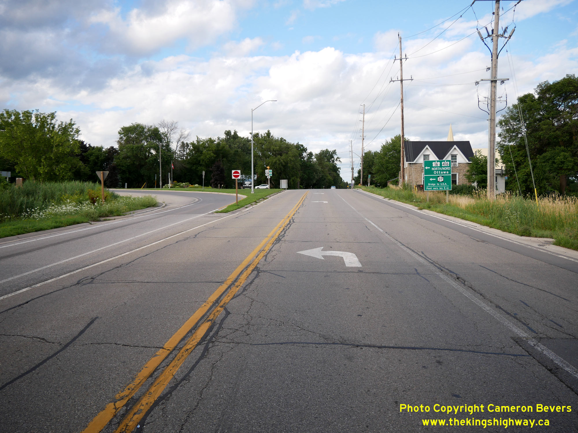
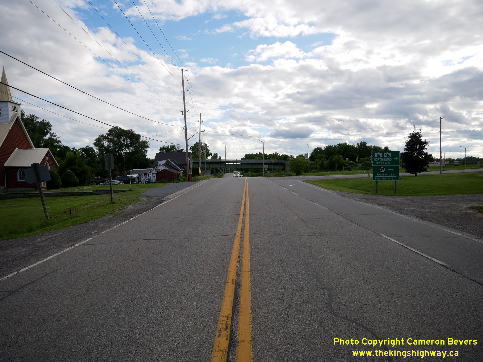
Left - Green guide signs facing westbound Hwy 2 traffic at the Hwy 16 Junction at Johnstown. On these signs, Hwy 416 is also marked, as there are only a
handful of intersections along Hwy 16 before Hwy 416 begins. See an Enlarged Photo Here. (Photograph taken on July 30, 2022 - © Cameron Bevers) Right - Facing east along Hwy 2 from the Hwy 16 Junction at Johnstown. The province assumed jurisdiction and control over the road easterly from Johnstown as a new provincial highway on May 23, 1919. For decades, Hwy 2 was the province's principal thoroughfare. However, the completion of Hwy 401 through Eastern Ontario during the 1960s greatly diminished Hwy 2's importance in the highway system, since most long-distance through traffic began to use the freeway instead once Hwy 401 was opened. See an Enlarged Photo Here. (Photograph taken on July 30, 2022 - © Cameron Bevers) 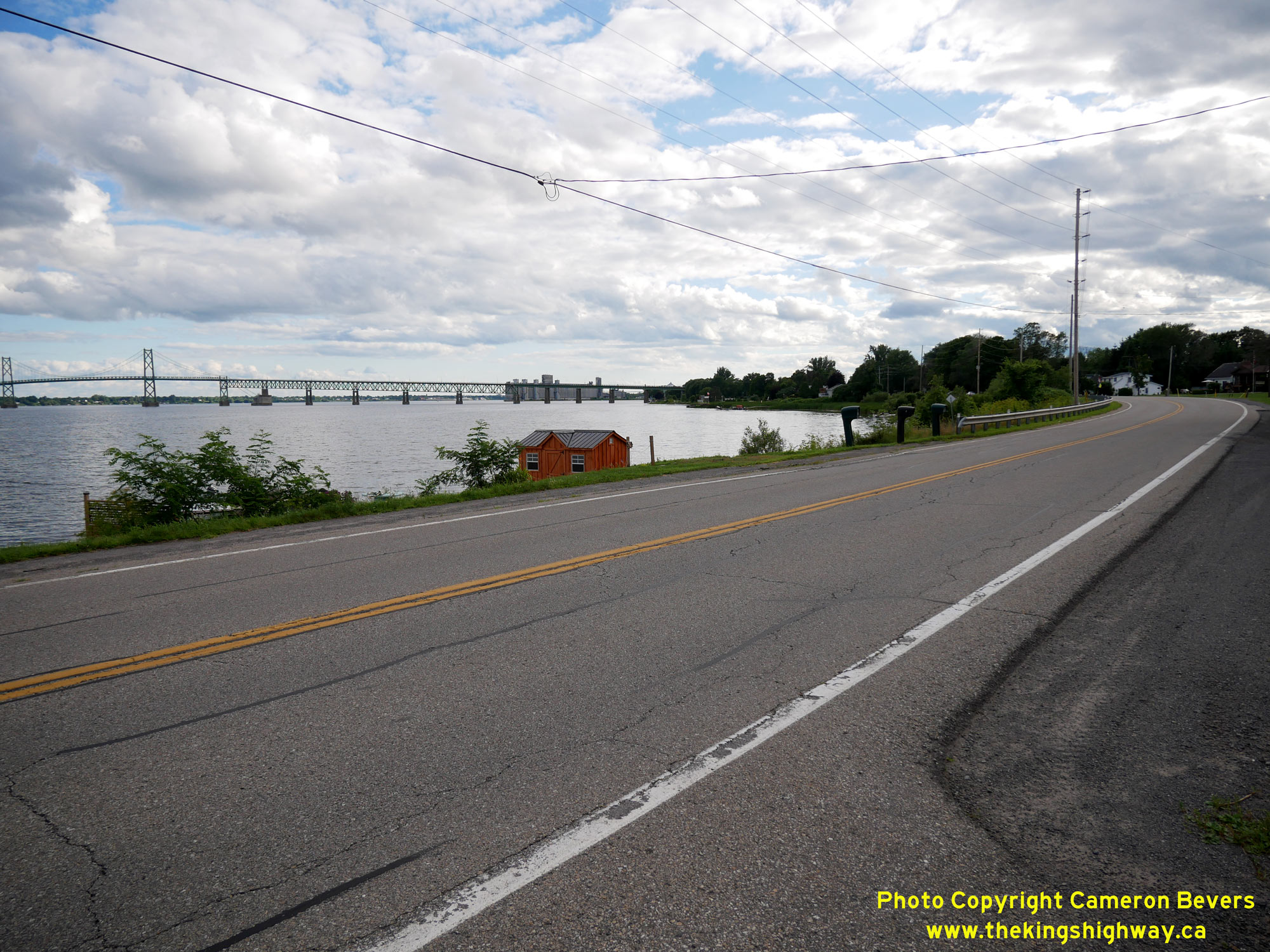
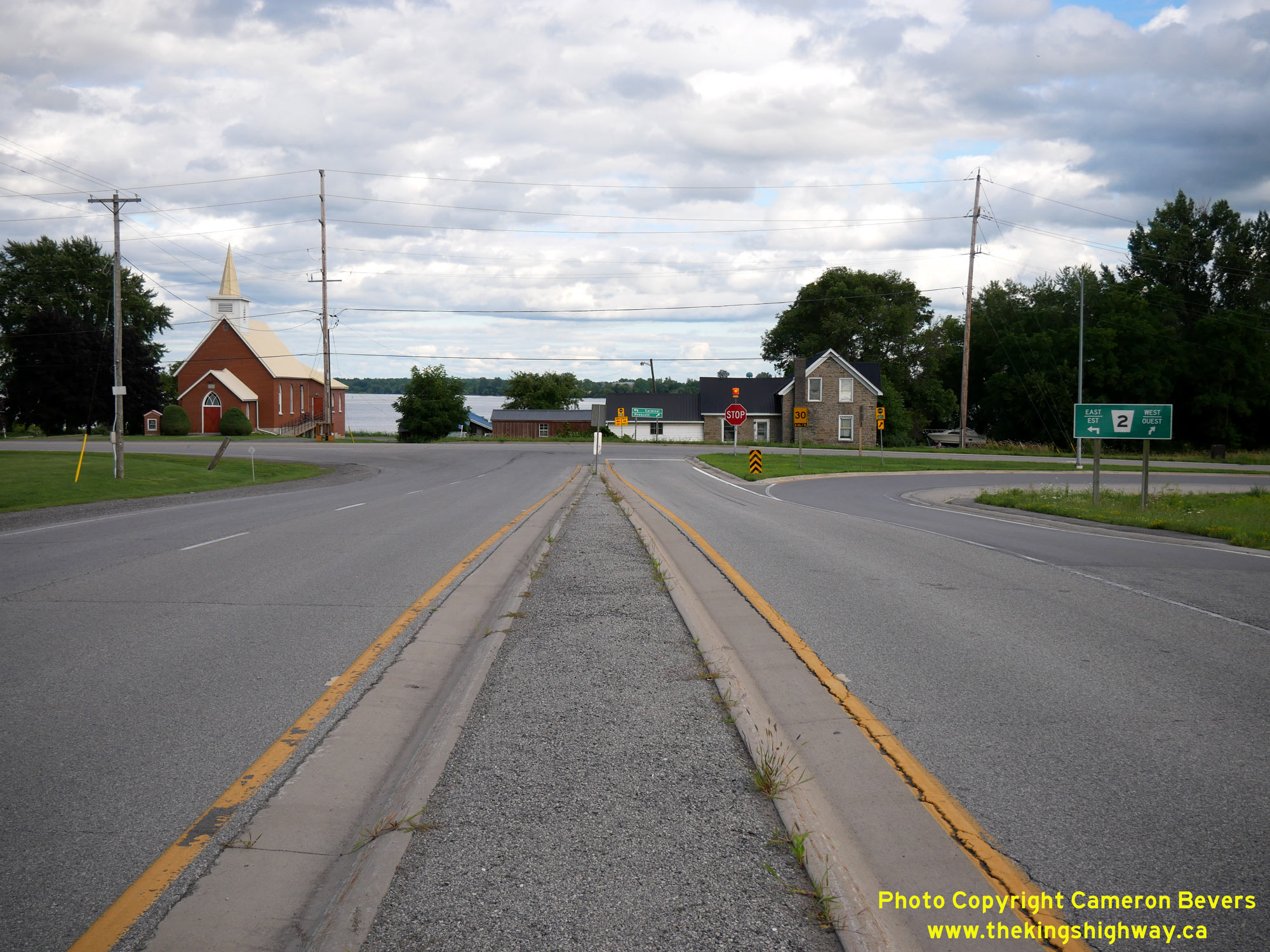
Left - This section of Hwy 2 through Johnstown runs right along the shores of the St. Lawrence River. See an
Enlarged Photo Here. (Photograph taken on July 30, 2022 - © Cameron Bevers) Right - Another view of the Ogdensburg-Prescott International Bridge from Hwy 2 east of Johnstown. See an Enlarged Photo Here. (Photograph taken on July 30, 2022 - © Cameron Bevers) 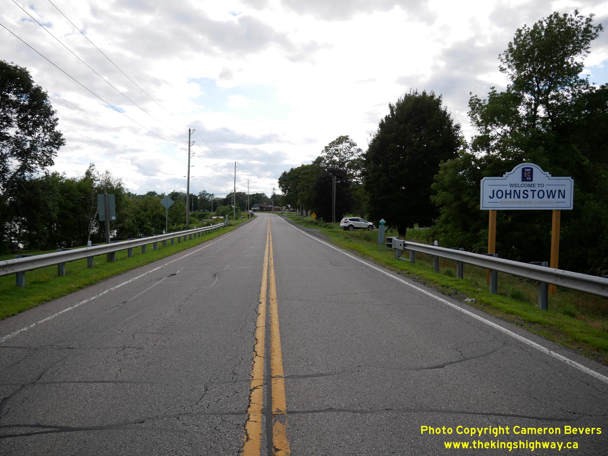
Left - Approaching Johnstown on Hwy 2, facing west towards Prescott. See an
Enlarged Photo Here. (Photograph taken on July 30, 2022 - © Cameron Bevers) Right - Facing east along Hwy 2 towards Iroquois near the eastern entrance to Johnstown. See an Enlarged Photo Here. (Photograph taken on July 30, 2022 - © Cameron Bevers) 
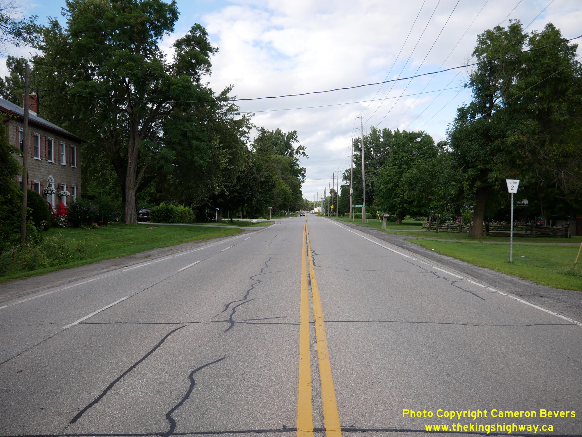
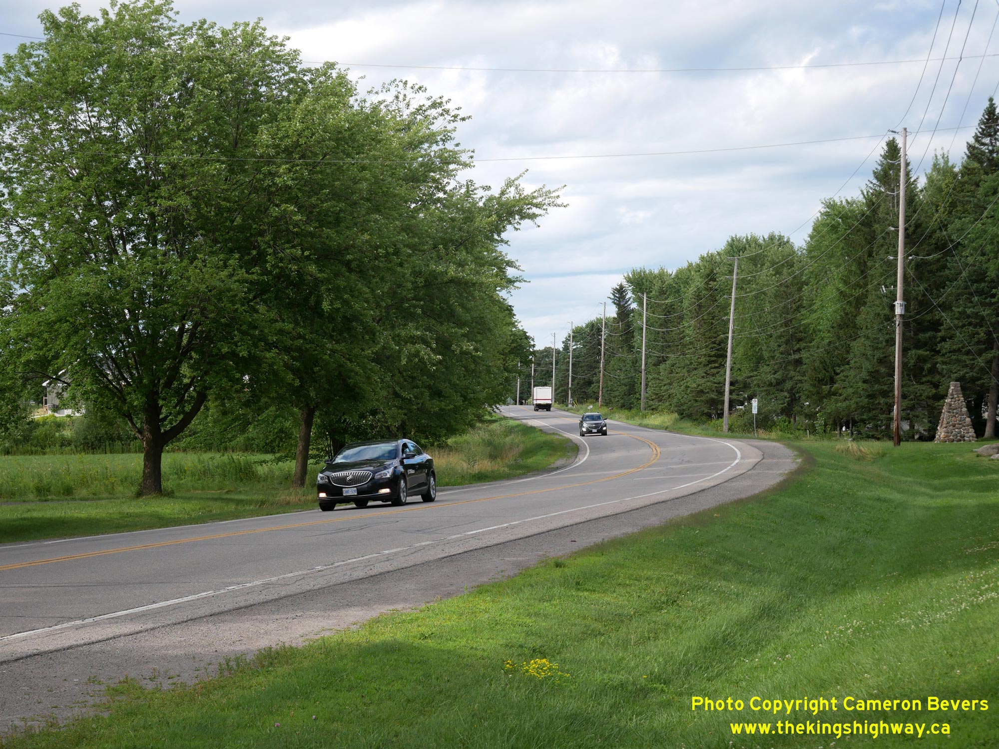
Left - Facing east along Hwy 2 about 6 km west of Cardinal. Although Hwy 2 no longer carries the long-distance through traffic it once did, the highway does
form a scenic alternate route to Hwy 401 through Eastern Ontario. Those seeking to escape the hurried freeway madness and don't mind adding some time to their journey
are encouraged to consider using Hwy 2 instead. It is a much more relaxed and leisurely route! See an
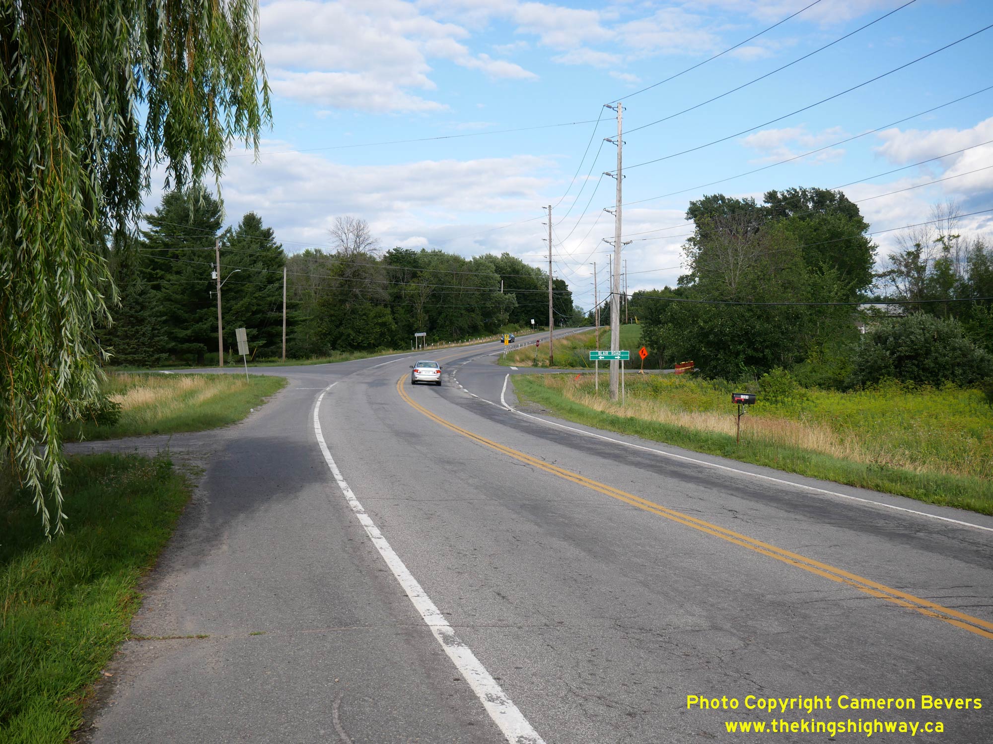
Enlarged Photo Here. (Photograph taken on July 30, 2022 - © Cameron Bevers) Right - View of Hwy 2 approaching Blair Road, located about 3 km west of Cardinal. See an Enlarged Photo Here. (Photograph taken on July 30, 2022 - © Cameron Bevers) 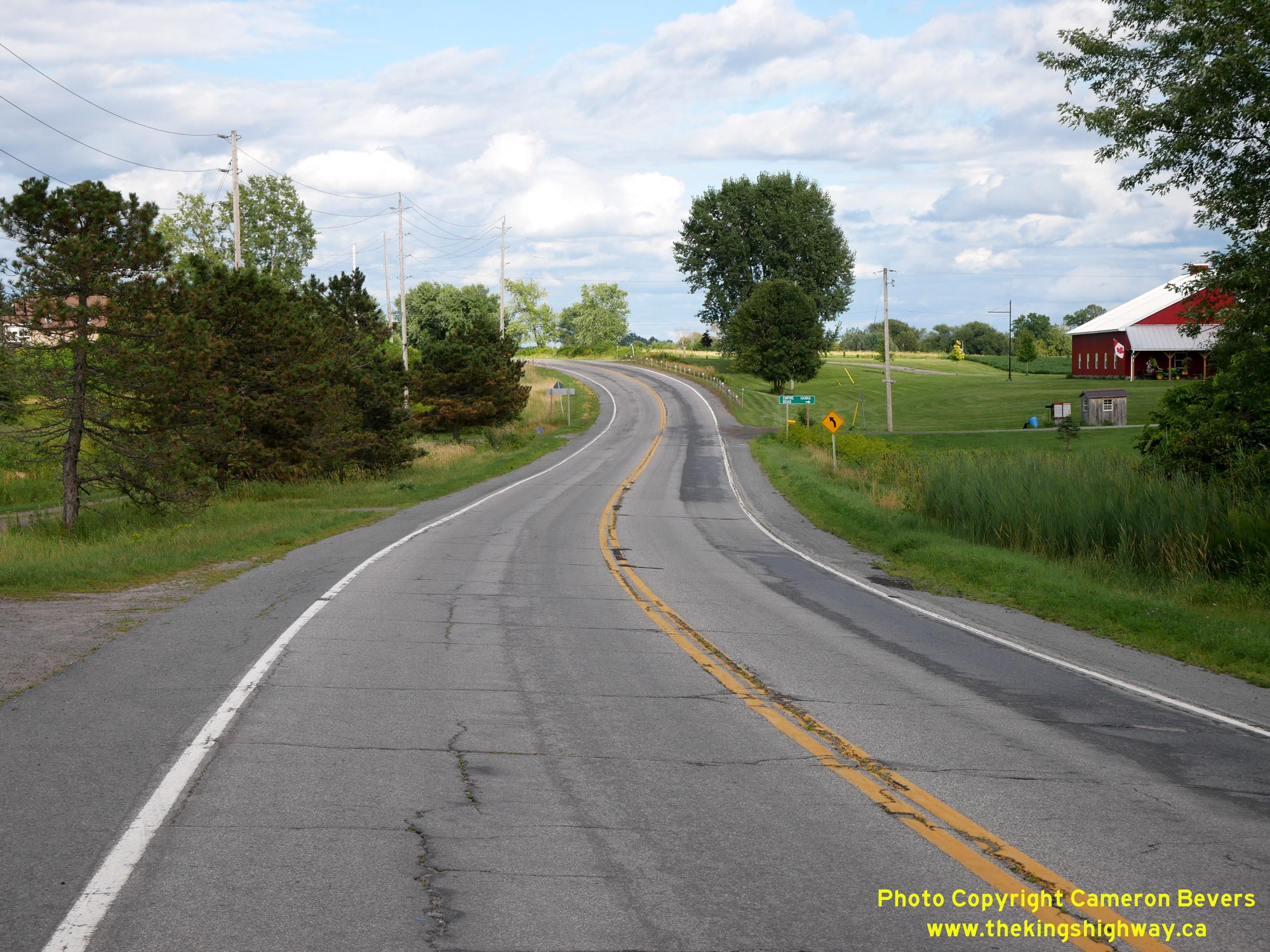
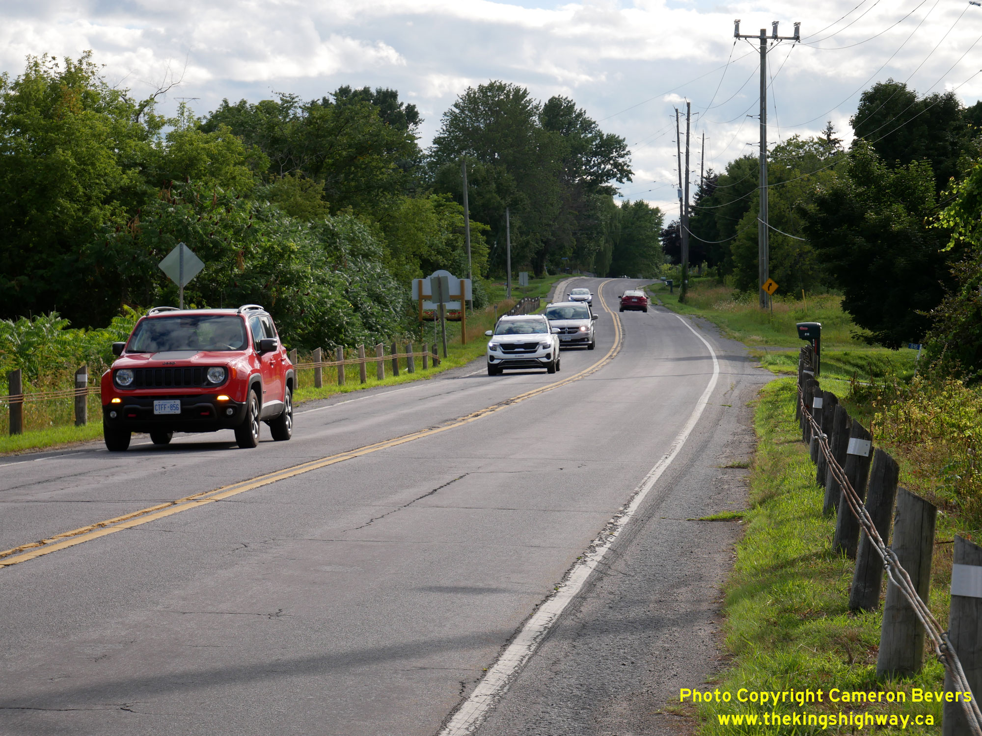
Left - This reverse curve on Hwy 2 about 2 km west of Cardinal is actually a diversion of the original highway. The old highway at left had a slightly sharper
radius. During a highway improvement project carried out here in 1950, the highway curve was reduced and the original highway abandoned. This work took place under
Contract #1950-52, which included the resurfacing of Hwy 2 with hot-mix asphalt between Johnstown and Iroquois. See an
Enlarged Photo Here. (Photograph taken on July 30, 2022 - © Cameron Bevers) Right - Facing west along Hwy 2 towards Prescott from the western entrance to Cardinal. While the highway is definitely busier during the peak summer tourism months, Hwy 2 still only carries a fraction of the traffic it once did. Prior to the completion of Hwy 401, this was the only practical highway link between Toronto and Montreal. See an Enlarged Photo Here. (Photograph taken on July 30, 2022 - © Cameron Bevers) 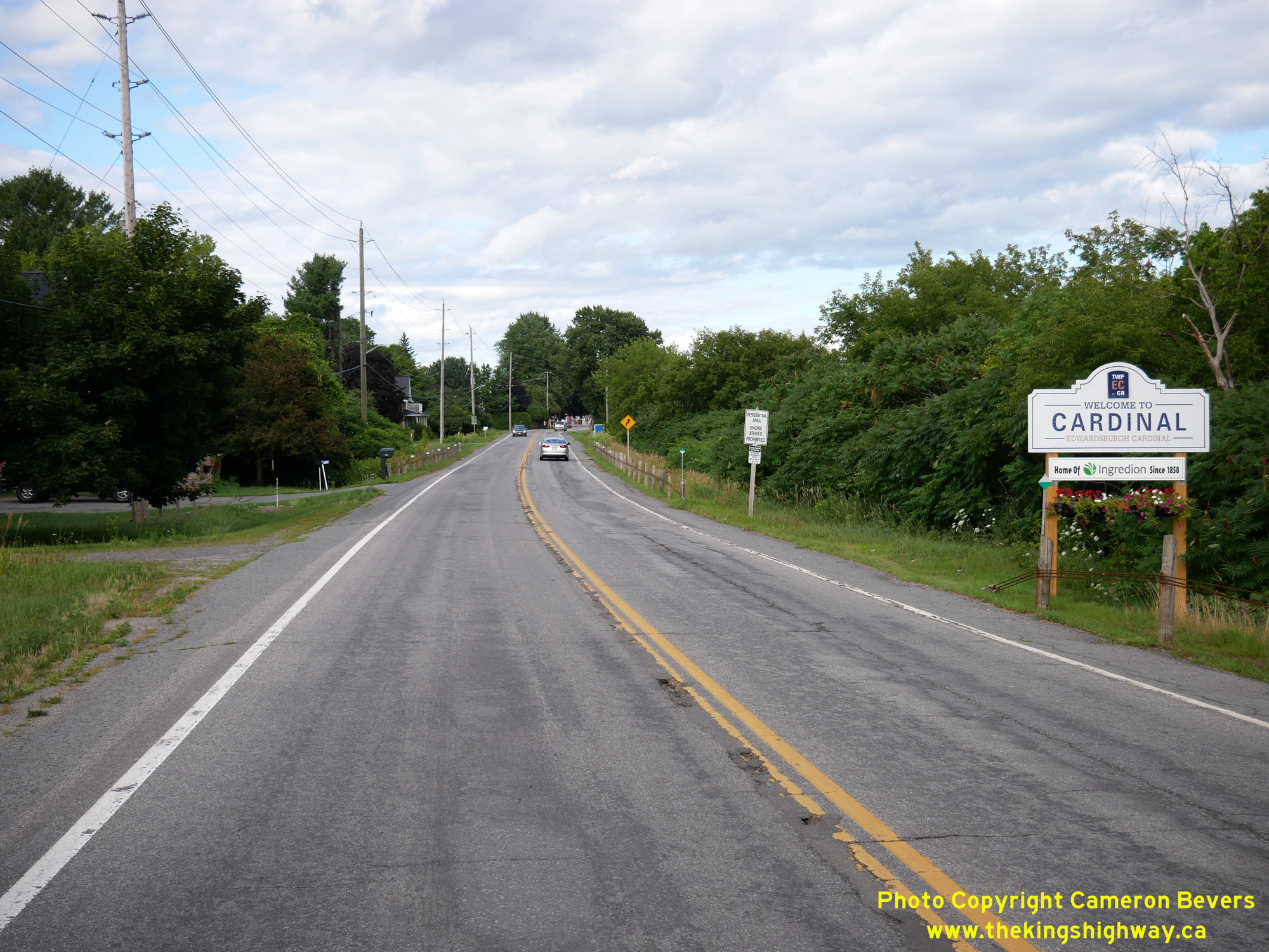
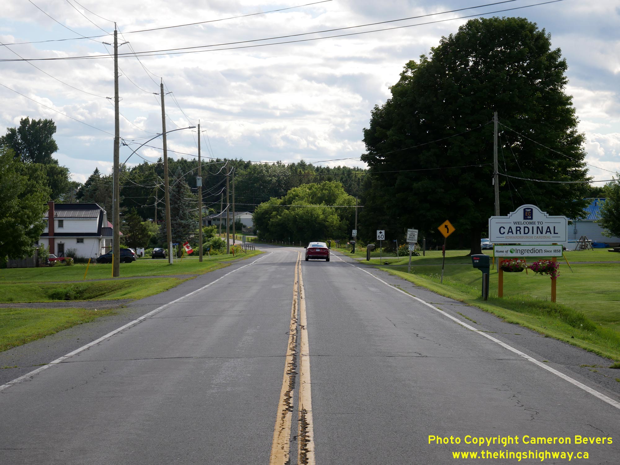
Left - View of Hwy 2 at the western entrance to Cardinal, facing east. See an
Enlarged Photo Here. (Photograph taken on July 30, 2022 - © Cameron Bevers) Right - Facing east along Hwy 2 approaching Dundas Street in Cardinal. While Hwy 2 served as the Main Street of most towns along its roughly 800 km route, the Village of Cardinal was a notable exception. The traditional business section of the village actually lay south of the highway along Dundas Street. See an Enlarged Photo Here. (Photograph taken on July 30, 2022 - © Cameron Bevers) 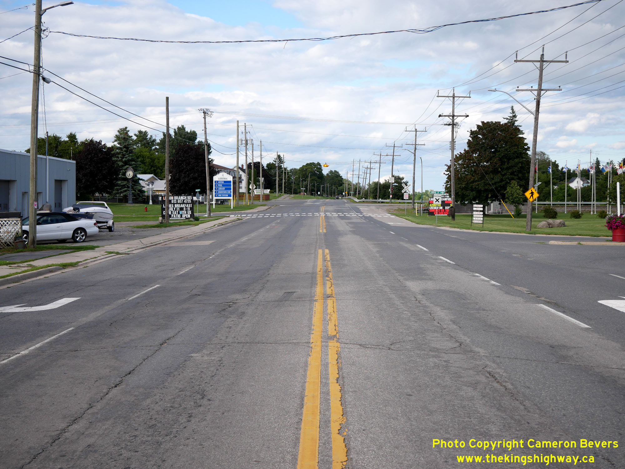
Left - Facing east along Hwy 2 approaching Bridge Street in Cardinal. While it might seem like a misnomer today, Bridge Street actually did once have a bridge
on it. At one time, a historical canal known as the Galop Canal passed right through Cardinal, which ran alongside Hwy 2. Traffic entering Cardinal's village
centre from Hwy 2 once had to turn right across the Galop Canal via Bridge Street. See an
Enlarged Photo Here. (Photograph taken on July 30, 2022 - © Cameron Bevers) Right - View of the Old Galop Canal beside Hwy 2 in Cardinal. Up until the late 1950s, marine traffic navigating the St. Lawrence River had to use this canal through Cardinal in order to travel between Lake Ontario and Montreal. The canal was made redundant by the construction of the St. Lawrence Seaway. Parts of the Galop Canal through Cardinal were subsequently filled in and the land redeveloped. See an Enlarged Photo Here. (Photograph taken on July 30, 2022 - © Cameron Bevers) 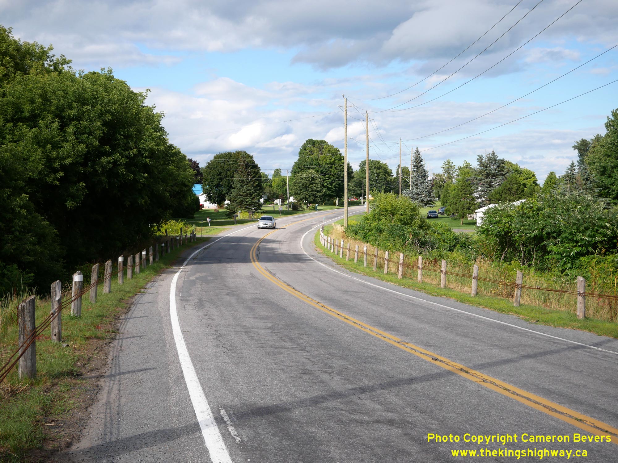
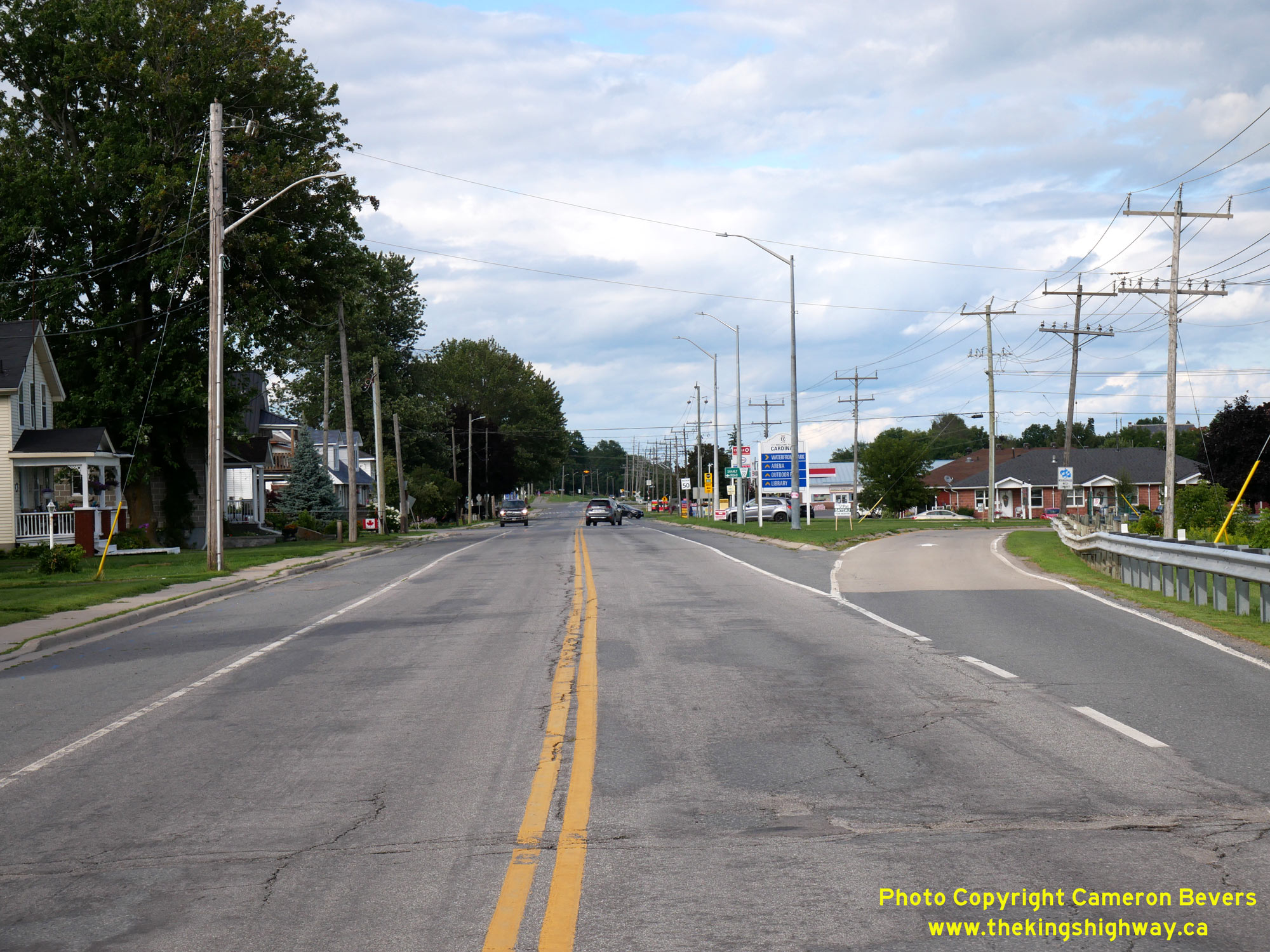
Left - View of Hwy 2 in Cardinal, facing east towards Iroquois from Flett Street. See an
Enlarged Photo Here. (Photograph taken on July 30, 2022 - © Cameron Bevers) Right - Facing west along Hwy 2 at the eastern entrance to Cardinal. See an Enlarged Photo Here. (Photograph taken on July 30, 2022 - © Cameron Bevers) 

Left - Sign marking the United Counties of Leeds and Grenville on Hwy 2 at Marine Station Road, facing west towards Cardinal See an
Enlarged Photo Here. (Photograph taken on July 30, 2022 - © Cameron Bevers) Right - Facing east along Hwy 2 towards Iroquois at Marine Station Road, located about 1 km east of Cardinal. Here, Hwy 2 crosses into the United Counties of Stormont, Dundas & Glengarry - commonly abbreviated as SDG. The county's slogan "Where Ontario Began" isn't just an advertising gimmick. Geographically, this is Ontario's easternmost county and contains some of the province's earliest settlements. See an Enlarged Photo Here. (Photograph taken on July 30, 2022 - © Cameron Bevers) 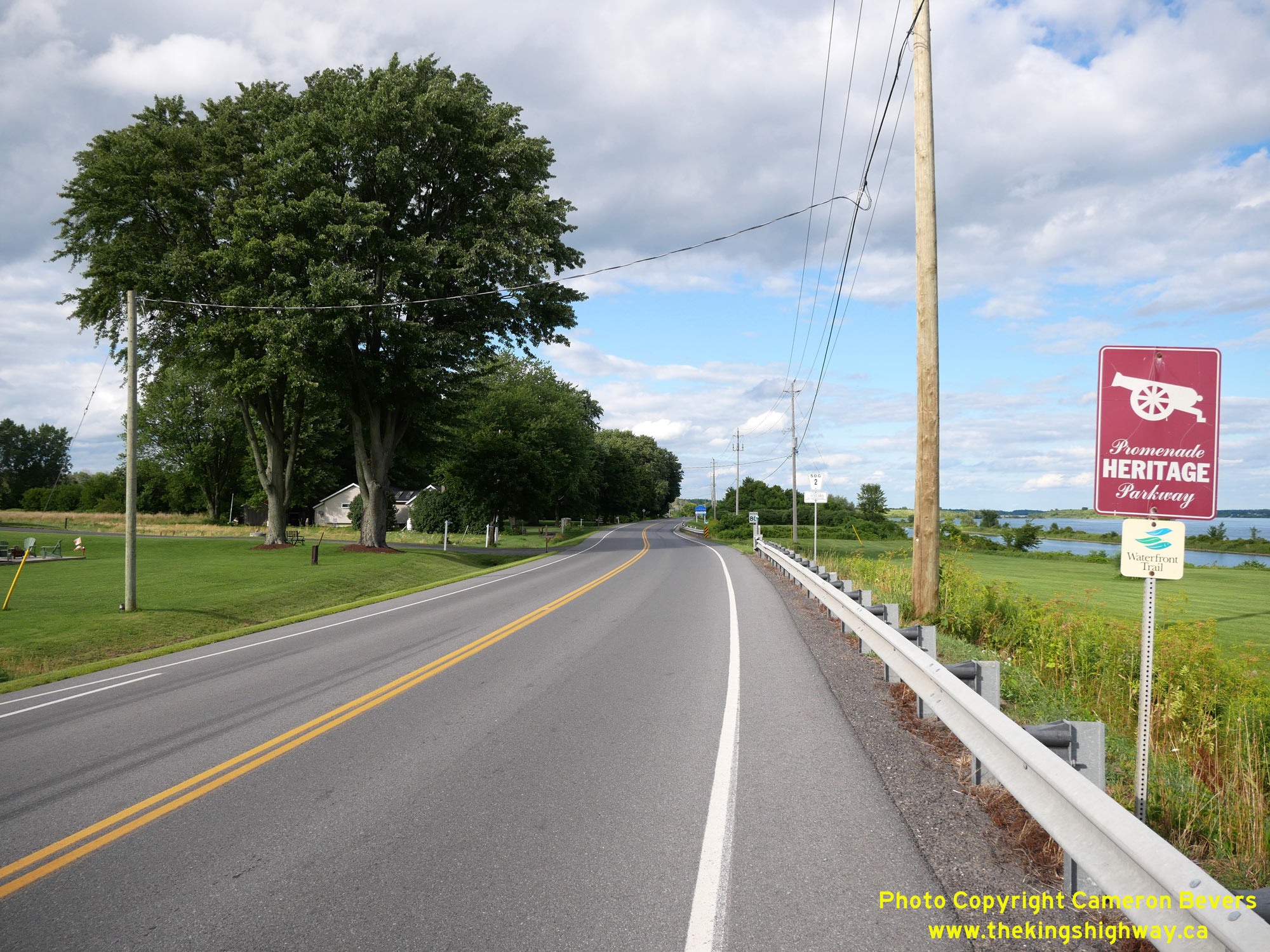
Left - A newer "Heritage Parkway" sign along Hwy 2 at Marine Station Road. When Hwy 2 was still a King's Highway, it was signed as a "Heritage Highway". These
tourism routes were gradually phased out across the province during the 1990s. Since then, some municipalities have resurrected these tourism routes on highways which
were downloaded to them in the 1990s, including this example in Stormont, Dundas & Glengarry. See an
Enlarged Photo Here. (Photograph taken on July 30, 2022 - © Cameron Bevers) Right - View of Hwy 2 alongside the Old Galop Canal, about 2 km east of Cardinal. See an Enlarged Photo Here. (Photograph taken on July 30, 2022 - © Cameron Bevers) 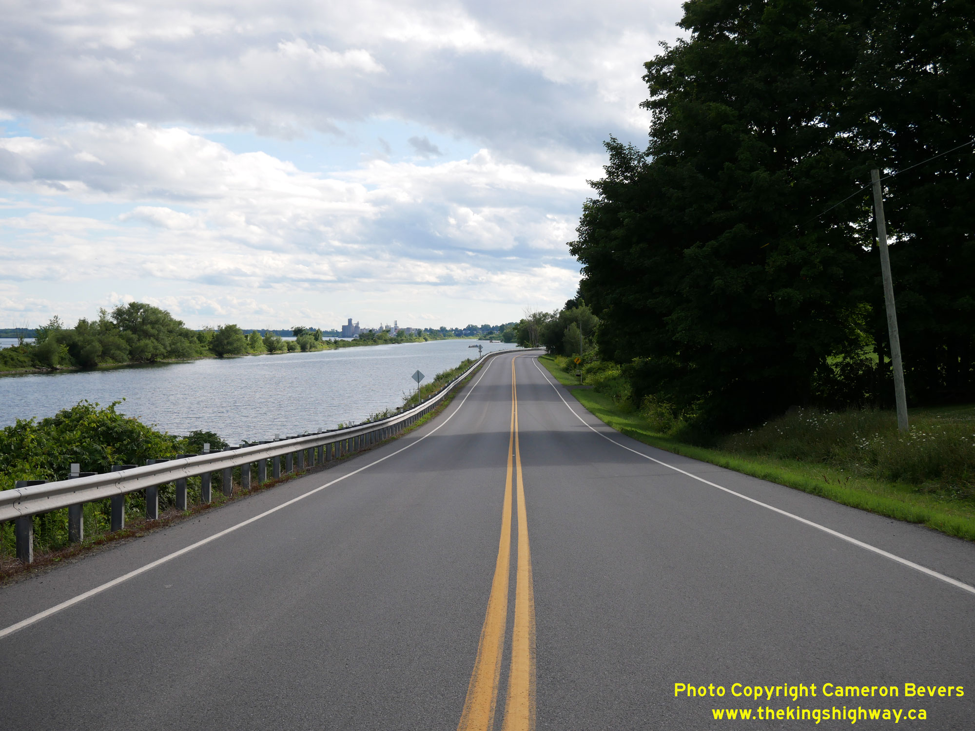
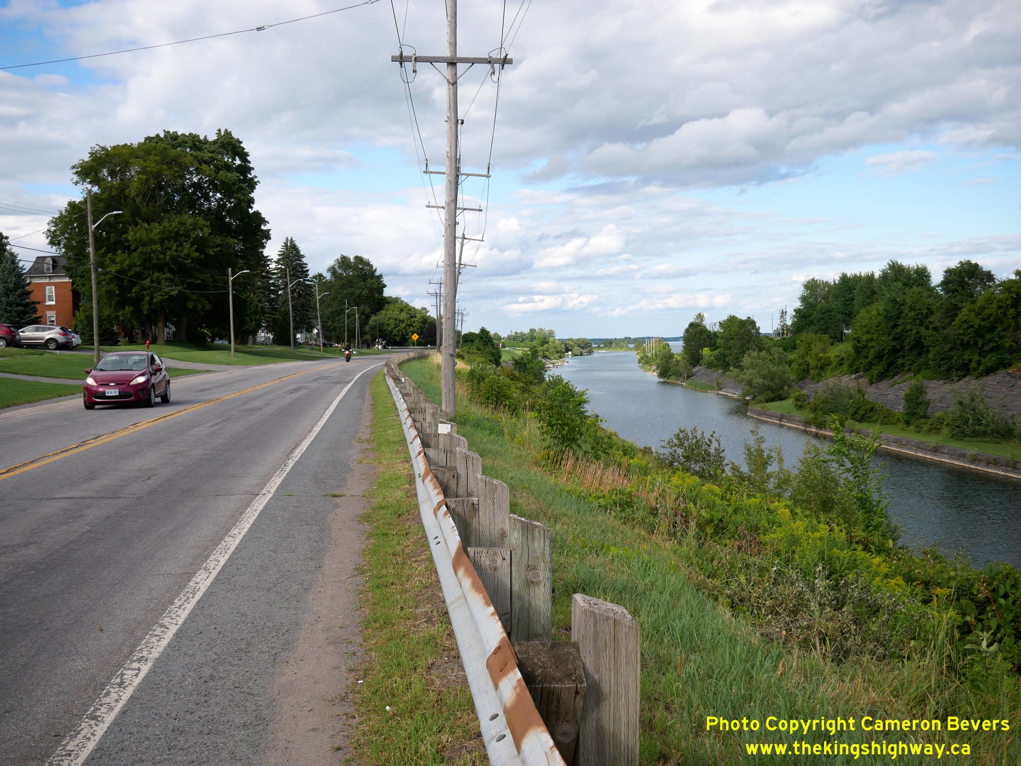
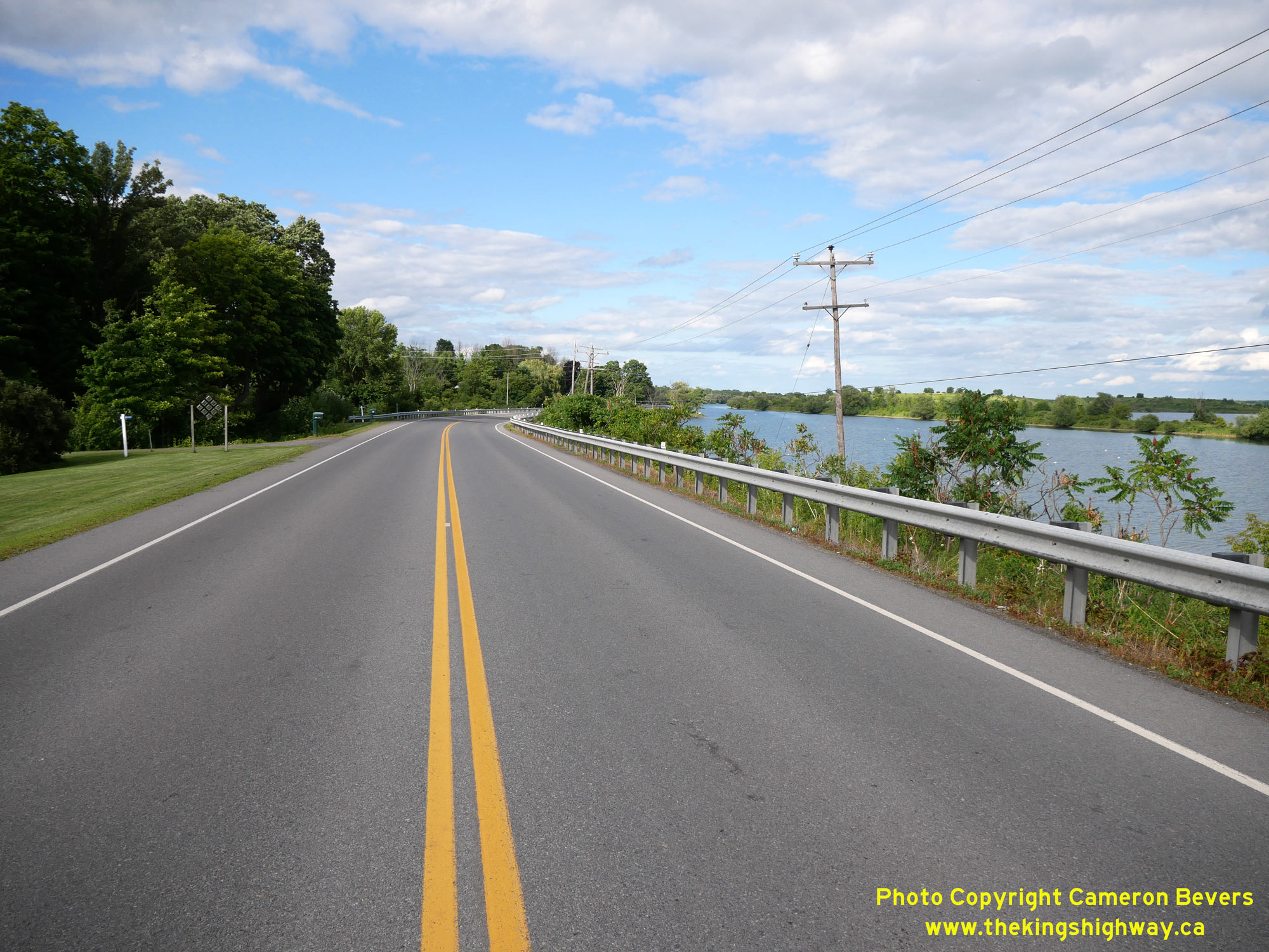
Left - Facing west along Hwy 2 towards Prescott, about 4 km west of Iroquois. Note the Old Galop Canal at left, which once allowed marine traffic on the St.
Lawrence River to bypass the Galop Rapids near Cardinal. Motorists along Hwy 2 once passed by large freighters on this canal between Cardinal and Iroquois. As part of
the St. Lawrence Seaway's construction, a new dam was built at Iroquois to raise the water level on the river and inundate the Galop Rapids. Once the river's water
level was raised between Cardinal and Iroquois, it allowed ships to use the main channel of the St. Lawrence River itself and the Galop Canal was made redundant and
subsequently abandoned as a major shipping lane. Today, the canal is primarily used by small watercraft. See an
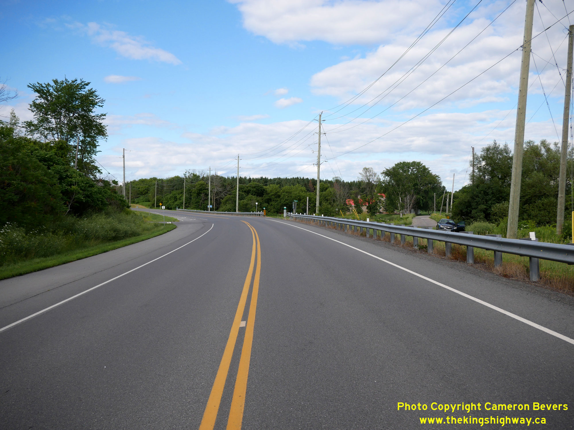
Enlarged Photo Here. (Photograph taken on July 30, 2022 - © Cameron Bevers) Right - View of the old and new routes of Hwy 2 diverging from each other about 3 km west of Iroquois. As a result of the St. Lawrence Seaway's construction in the 1950s, about 35 miles (56 km) of Hwy 2 had to be relocated onto higher ground. Parts of the highway which ran along the existing St. Lawrence River were submerged as a result of the various dams and lock systems constructed for the St. Lawrence Seaway. At right, Old Hwy 2 (Galop Lane) continues along its original route for just under 1 km, where the old highway comes to a dead end. Construction on the relocated Hwy 2 from this point to Iroquois started in the Spring of 1956, under Contract #1956-29 (grading) and Contract #1956-147 (hot-mix asphalt paving). The new diversion was opened to traffic in November 1957. See an Enlarged Photo Here. (Photograph taken on July 30, 2022 - © Cameron Bevers) 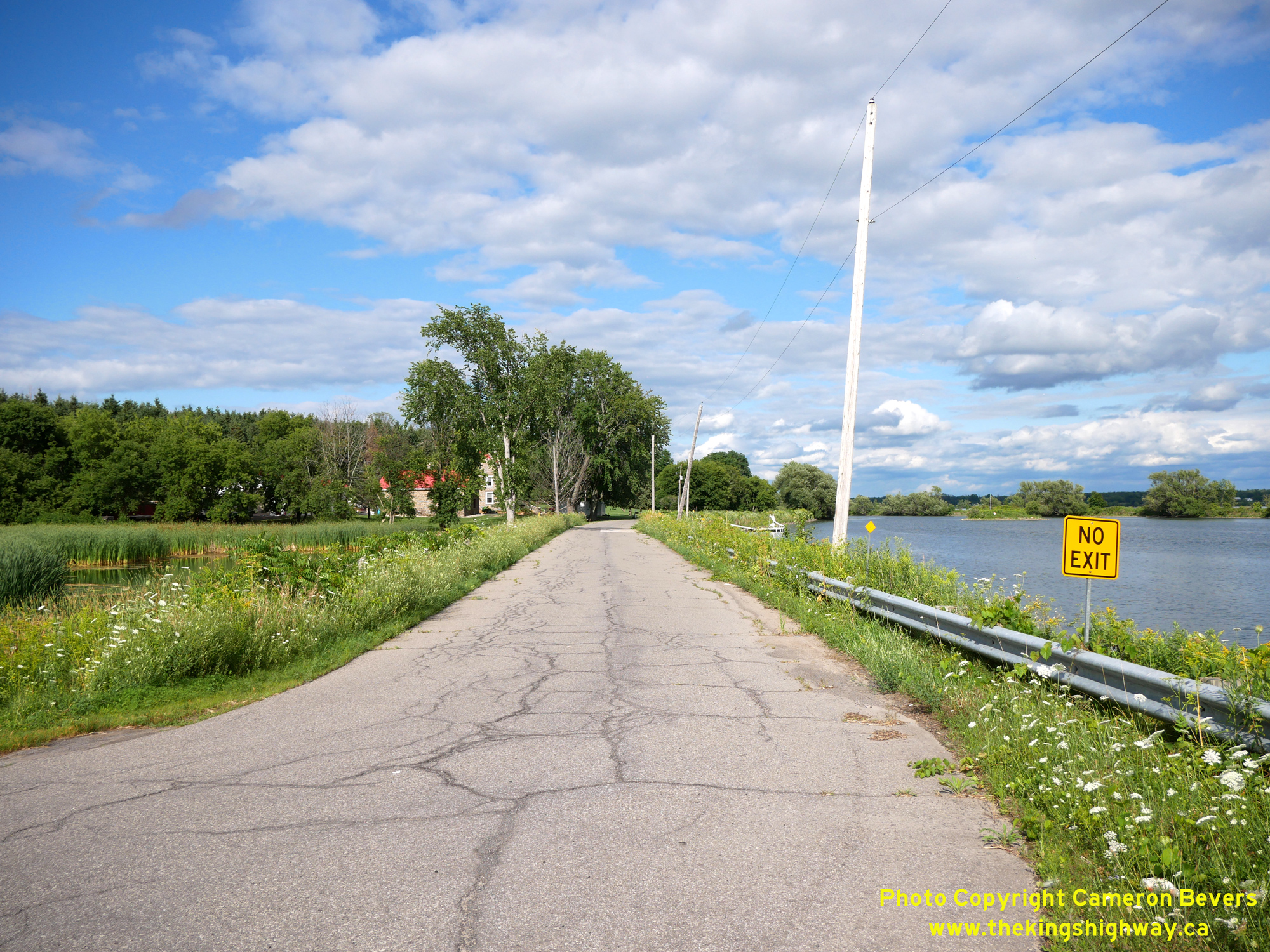
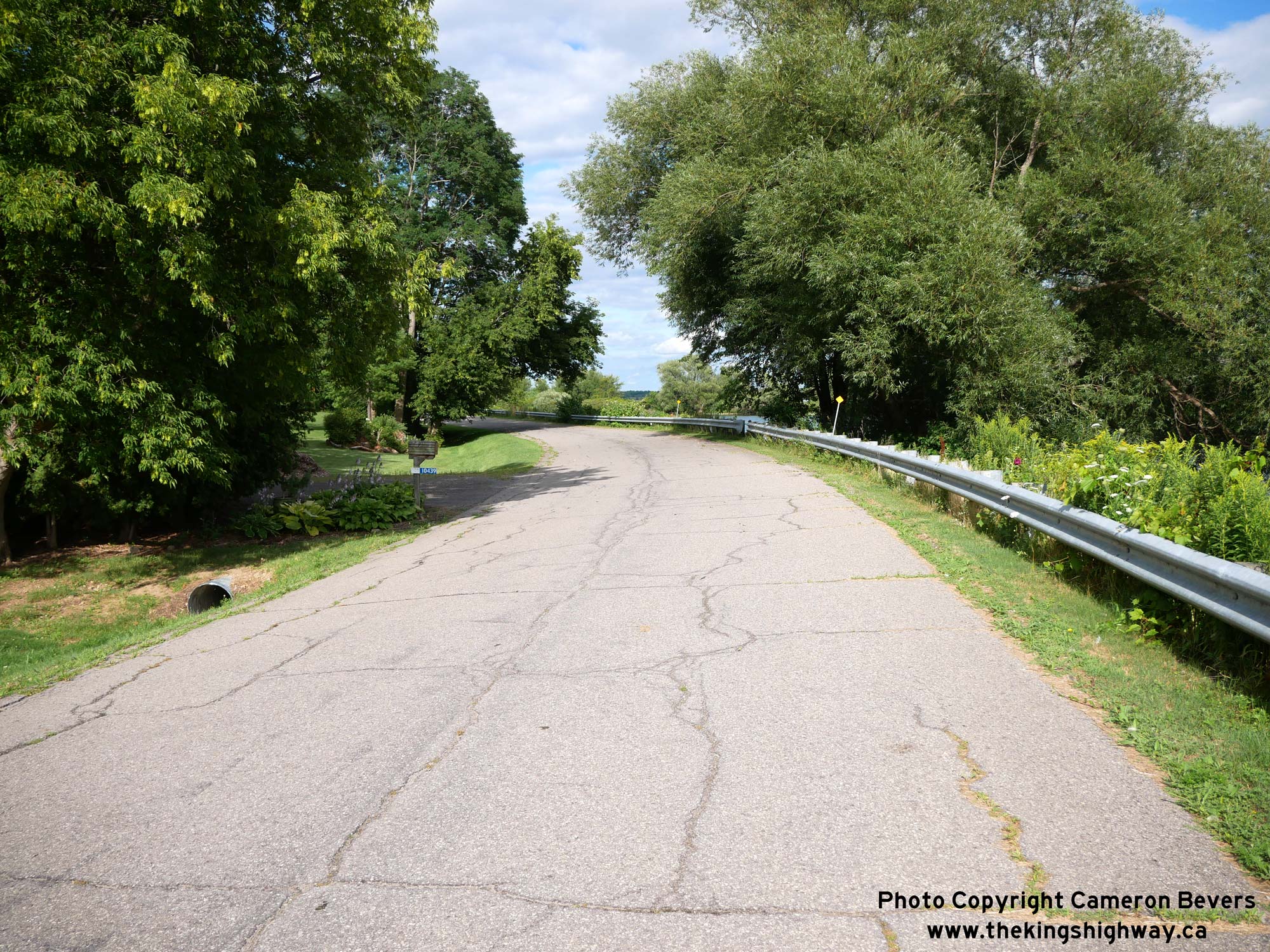
Left - Facing east along Old Hwy 2 (Galop Lane) about 3 km west of Iroquois. This section of Hwy 2 was bypassed in 1957 by a relocated Hwy 2. See an
Enlarged Photo Here. (Photograph taken on July 30, 2022 - © Cameron Bevers) Right - This superelevated curve on Old Hwy 2 (Galop Lane) provides a strong hint to observers that this was once a major highway route. See an Enlarged Photo Here. (Photograph taken on July 30, 2022 - © Cameron Bevers) 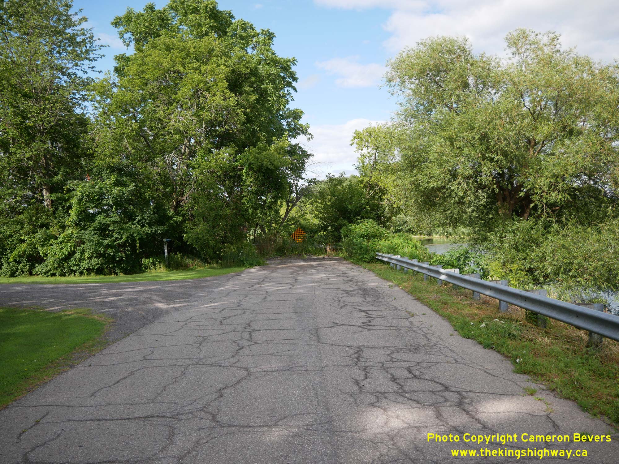
Left - End of Galop Lane (Old Hwy 2) west of Iroquois. At this point, the original highway's route along the Galop Canal was severed as a result of the
flooding of the St. Lawrence Valley, with only a handful of sections of the original highway still traversable between this point and Cornwall. See an
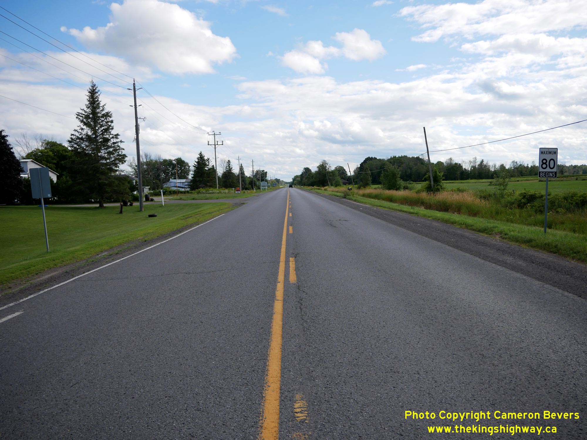
Enlarged Photo Here. (Photograph taken on July 30, 2022 - © Cameron Bevers) Right - Facing west along Hwy 2 towards Prescott from the western entrance to Iroquois. This arrow-straight section of the highway was a relocation of the original route of Hwy 2, which had to be closed as a result of the St. Lawrence Seaway's construction in the 1950s. The relocated Hwy 2 connects back to the original route of Hwy 2 about 3 km ahead. See an Enlarged Photo Here. (Photograph taken on July 30, 2022 - © Cameron Bevers)
Continue on to King's Highway 2 Present Day Photos: Iroquois to Quebec Boundary
|
|---|
Links to Adjacent King's Highway Photograph Pages:
Back to Tertiary Highway 812 Photos /
King's Highway 2 History /
On to King's Highway 3 Photos
Ontario Highway History - Main Menu / Back to List of Highways Website contents, photos & text © 2002-2026, Cameron
Bevers (Webmaster) - All Rights Reserved / Contact Me
|
|---|