
| 
| |
|
|
This page contains present day photos (Year 2000 to date) of Ontario's King's Highway 35, arranged by location from Coboconk
northerly to Minden. All photographs displayed on this page were taken by the Webmaster (Cameron Bevers), unless specifically noted otherwise. Click on any
thumbnail to see a larger image!
Please note that all photographs displayed on this
website are protected by copyright. These photographs must not be reproduced, published,
electronically stored or copied, distributed, or posted onto other websites without
my written permission. If you want to use photos from this website, please
email me first for permission. Thank-you!
|
|---|
|
Page 7: Present Day King's Highway 35 Photographs (Coboconk to Minden)
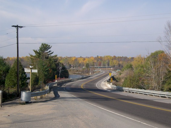
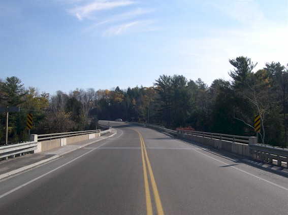
Left - Facing south along Hwy 35 towards Fenelon Falls at Moore Falls Bridge (Photograph taken in October 30, 2005 - © Cameron Bevers) Right - Facing north at Moore Falls Bridge. Structure completed in 1969. (Photograph taken in October 30, 2005 - © Cameron Bevers) 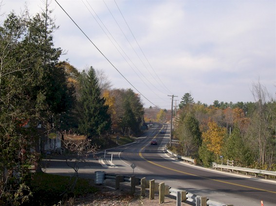
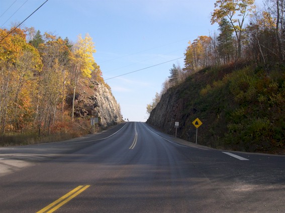
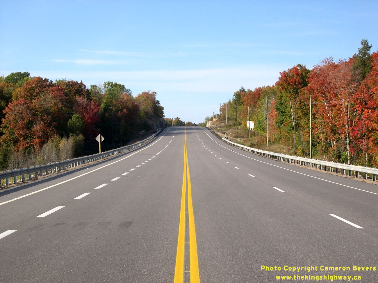
Left - Facing south along Hwy 35 towards Fenelon Falls at Miners Bay (Photograph taken in October 30, 2005 - © Cameron Bevers) Right - Rock cut on Hwy 35 at Miners Bay, facing north towards Minden (Photograph taken in October 30, 2005 - © Cameron Bevers) 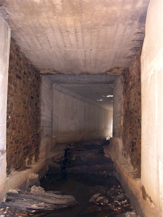
Left - Culvert under Hwy 35 at Miners Bay. The old stone-walled portion of the culvert in the foreground was likely constructed by the
Department of Northern Development in the 1920s. The culvert was later widened on either side, and was eventually extended altogether (the kinked
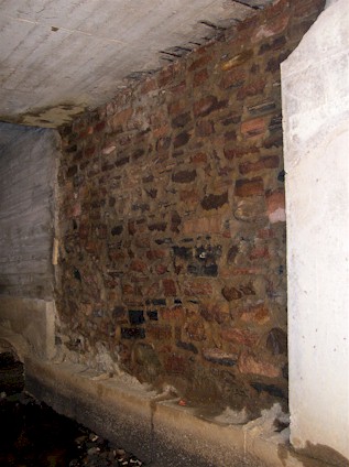
portion seen in the background) when the Miners Bay Diversion was completed. (Photograph taken on October 30, 2005 - © Cameron Bevers) Right - Stone-walled culvert from the 1920s under Hwy 35 at Miners Bay. Note the later concrete extensions to the left and right of the stone wall that were added during a highway widening project in the 1940s. (Photograph taken on October 30, 2005 - © Cameron Bevers) 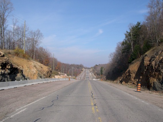
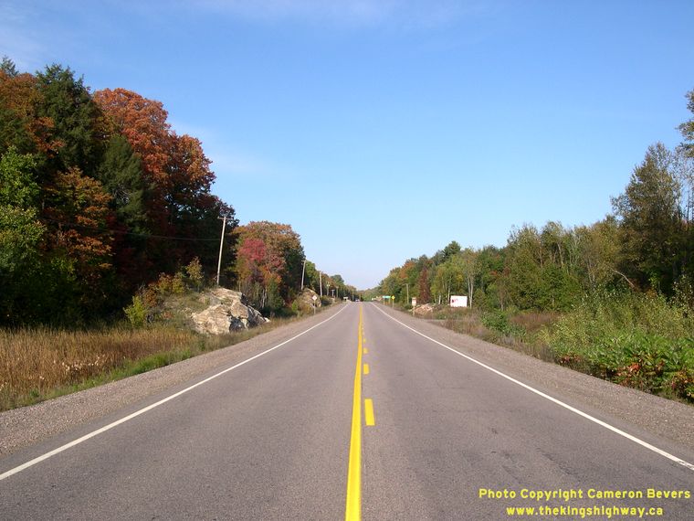
Left - Facing north along Hwy 35 towards Minden at Miners Bay Road (Photograph taken on October 30, 2005 - © Cameron Bevers) Right - Facing south along Hwy 35 towards Fenelon Falls at Miners Bay Road (Photograph taken on October 30, 2005 - © Cameron Bevers) 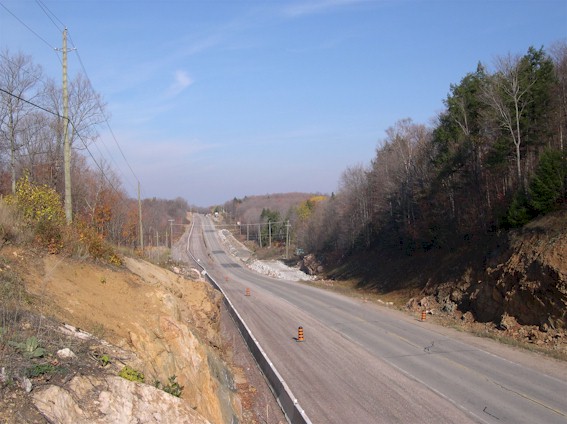
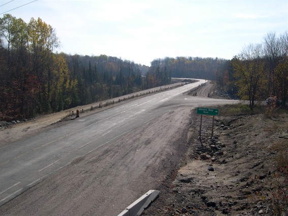
Left - Reconstruction of Hwy 35 north of Miners Bay Road, facing north (Photograph taken in October 30, 2005 - © Cameron Bevers) Right - Reconstructed section of Hwy 35 north of Miners Bay. (Photograph taken in September 30, 2007 - © Cameron Bevers) 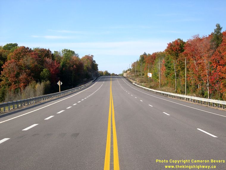
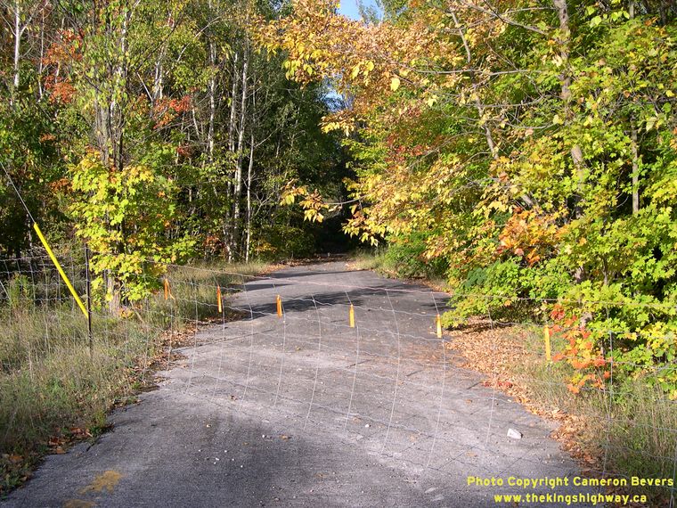
Left - New back-to-back passing lanes on Hwy 35 north of Miners Bay. See an
Enlarged Photo here. (Photograph taken in September 30, 2007 - © Cameron Bevers) Right - Abandoned section of Hwy 35 in the woods north of Miners Bay. This former Hwy 35 alignment was bypassed in 1957, when the Horse Killer Hill revision was completed and opened to traffic. The new revision removed two sharp reverse curves in the original highway alignment. (Photograph taken in September 30, 2007 - © Cameron Bevers) 

Left - Facing south along Hwy 121 from the Hwy 35 Junction south of Minden. See an
Enlarged Photo Here. (Photograph taken on September 30, 2007 - © Cameron Bevers) Right - Facing north along Hwy 35 towards the Hwy 121 Junction south of Minden. See an Enlarged Photo Here. (Photograph taken on September 30, 2007 - © Cameron Bevers) 

Left - Facing north along Hwy 35 and Former Hwy 121 towards Minden from the Hwy 121 South Junction. The Hwy 121 sign in the sign assembly beside the
highway at right is the only surviving Hwy 121 shield along the highway. Fortunately, this sign was somehow missed during the reconstruction of Hwy 35
through Minden in 2001. See an Enlarged Photo Here. (Photograph taken on September 30, 2007 - © Cameron Bevers) Right - Facing south along Hwy 35 towards the Hwy 121 Junction south of Minden. See an Enlarged Photo Here. (Photograph taken on September 30, 2007 - © Cameron Bevers)
Continue on to King's Highway 35 Photos: Minden to Carnarvon
|
|---|
Links to Adjacent King's Highway Photograph Pages:
Back to King's Highway 34 Photos /
King's Highway 35 History /
Back to King's Highway 36 Photos
Ontario Highway History - Main Menu / Back to List of Highways Website contents, photos & text © 2002-2026, Cameron
Bevers (Webmaster) - All Rights Reserved / Contact Me
|
|---|